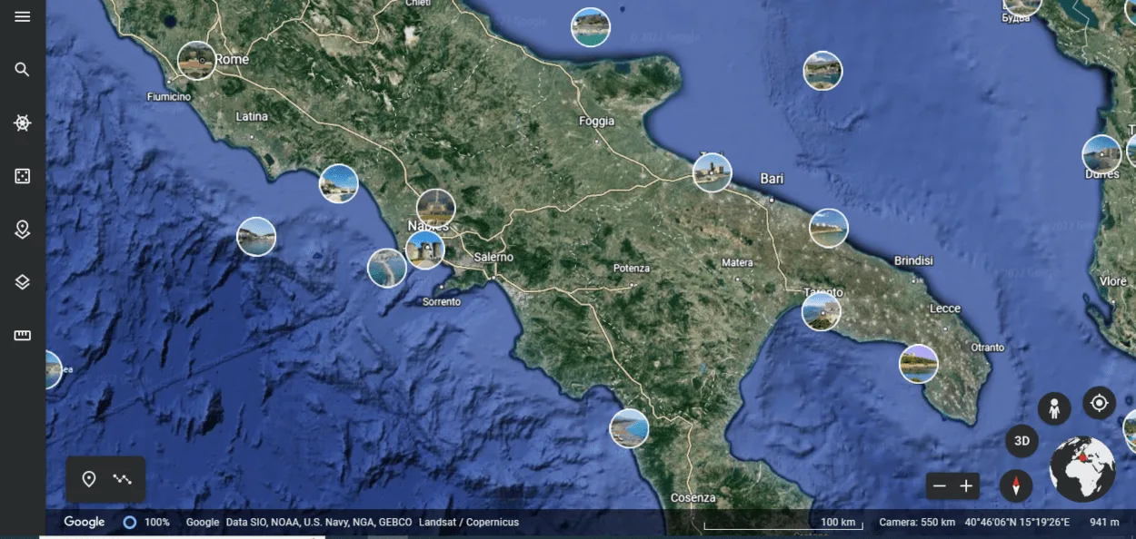
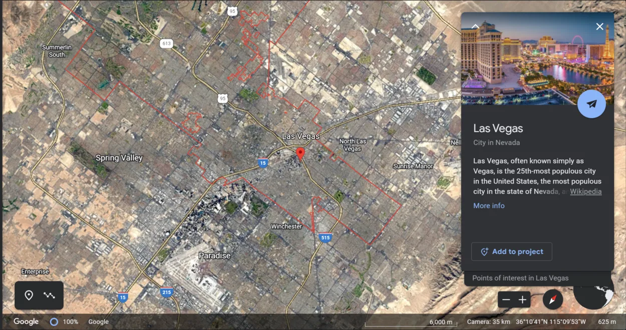
Although some people believe that Google Earth is a program that is constantly updated and allows you to spy on your neighbors, the reality is another way around.
Because Google Earth images aren’t up to date as it combines aerial and satellite images. Aerial photos are relatively pricey, and both require time to obtain and implement.
To keep up with any potential changes, Google would have to constantly hire globe-spanning pilots. Google instead settles for a compromise. Within three years, they aim to keep every region of the world.
However, high-density population areas are likely to be their primary focus. Therefore, you might be waiting a while if your town received an update last year but hasn’t seen the new stadium constructed in the past six months.
I’d like you to learn about Google Earth first before we move on. Let’s get started, then:
Understanding Google Earth

Google Earth makes use of Landsat 8 satellite photography provided by NASA and the U.S. Geological Survey. These satellites provide extremely detailed views of almost the entire planet’s surface.
To obtain an uninterrupted view of the globe, Google accesses these images and employs a sophisticated algorithm to identify cloud cover and replace overcast areas with previous footage.
A copy of the Google Earth Engine contains all of this data, which is then analyzed and compiled into the map.
Although the Landsat program receives funding from the government, the data it collects is accessible to the entire world.
The information is accessed by scientists, researchers, environmental organizations, and Google employees, among others, to gain a deeper understanding of the planet’s evolution over time.
Google claims that the data they collect from the Landsat program amounts to nearly 700 trillion pixels or a petabyte. To display the entire map at once, almost a billion 1280 x 960 desktop monitors are required!
How does Google Earth Gather Pictures and Other Media?
Google Earth’s images come from platforms and service providers over time. Street View, Aerial View, and 3D View all provide access to images.
However, because these images aren’t in real-time, Google Earth cannot display live images or changes.
You might be familiar with street view photography from Google Maps. Cars equipped with cameras drive around and collect this information.
A single acquisition’s data can be seen in some images, while a range of dates taken over days or months can be seen in others.
If you can find more information about the date an image was created on Google Earth, you should get in touch with the original provider.
Google cannot provide you with additional information about the images it displays. Reconsider if you believe that you can see yourself standing on the street when you zoom in on your current location in Google Earth.
All of the images in Google Earth are gathered from various satellites, as previously stated.
How Frequently are Photos Updated by Google Earth?
Google Earth updates about once per month, according to its official blog.
However, this doesn’t imply that every image on Google Earth is updated every month.

Google Earth’s map data are typically one to three years old on average. The majority of Google Earth’s updates occur monthly, but the average user can’t spot them.
Given how many images are needed to create Google Earth, a range of one to three years is understandable.
Google has a lot of satellites that can take pictures in space and other places for this project.
As a result, Google Earth’s images, street views, and maps are updated based on the following factors:
- Time and Money
- Security
- Location
- Weather
Time and Money
All the resources don’t own by Google hence it needs to buy a certain part of its pictures from other parties and that’s how time and money come into place.
Third parties don’t have time to transmit aerial photographs from all over the world; not one or the other do they have the cash to contribute to that.
Through aerial photography, those high-resolution images on Google Earth are constructed.
Check out the following video to know how to see Aerial images on Google Earth.
Google buys such pictures from the third party that clicks these pictures. Subsequently making cash and time a figure in Google Earth upgrades.
Security
There’re a lot of secret places, like restricted military bases that are rarely updated for reasons of national security. Some of these areas have been permanently blacked out.
Google stops updating areas where suspicions arise that images are being used for criminal activities, as well as government-led areas.
Location
It makes more sense to update urban areas frequently than rural areas because urban areas are more susceptible to change, and Google must adapt to those changes.
Google also collects images from third parties in addition to its satellite to expedite the update processes for Google Earth. As a result, updates to high-density areas significantly accelerate.
Weather
It doesn’t make sense to take pictures of a place that is constantly covered in clouds. There would be nothing visible.
As a result, it may take Google some time to obtain clear shots that are unaffected by the weather.
London is an example of this. When it’s not raining or overcast, Google has to wait a long time to fly their aircraft to take high-resolution photos.
Why does Google Earth not Update on a Regular Basis?
Google Earth, as previously mentioned, combines aerial and satellite images. Aerial photos are relatively pricey, and both require time to obtain and implement.
To keep up with any potential changes, Google would have to constantly hire globe-spanning pilots. Google instead settles for a compromise.
Within three years, they aim to keep every region of the world. However, high-density population areas are likely to be their primary focus.
Therefore, you might be waiting a while if your town received an update last year but hasn’t seen the new stadium constructed in the past six months.
Is it Possible to Request an Update to Google Earth Images?
Yes! On Google Earth, you can ask Google to update an image. Requesting Google to update an image in Google Earth is as easy as this:
| Step 1 | On your device, open Google Earth. |
| Step 2 | Go to the section that you want to have updated. |
| Step 3 | The feedback tool must then be utilized. |
| Step 4 | On the browser version, select Feedback by clicking the icon with three horizontal lines. |
| Step 5 | Navigate to Help > Send Feedback on the desktop |
| Step 6 | In the text box, type: I would like to suggest updating the images. |
These requests are compiled by Google to comprehend user interest.
Sending a feedback request doesn’t guarantee that the image will be updated soon because it’s still dependent on things like third-party image availability and the weather.
How to use Google Earth to View your House?
Google Earth is a very powerful tool. We’re fortunate to be able to easily access some of the wonders of the world and its hidden corners.
You can either look at a satellite view of your house or use Google Earth, which will continue to be an excellent historical record of how our planet has changed as it’s updated.

FAQs
When was the most recent update to Google Earth?
You can’t tell when a Google Earth will change, but you can get Google Earth to tell you the date it last changed.
You can also subscribe to email notifications when specific location images change using Google’s Follow Your World tool.
The most recent update is indicated by a date stamp at the bottom of the satellite map. The easiest way to quickly determine the most recent update is with this stamp.
How frequently is street view updated in Google Earth?
Google usually tries to take new Street View photos once a year in major cities.
Although you shouldn’t be surprised if it takes even longer, less populated areas can probably anticipate new photographs every three years or so.
Are Google Earth images updated continuously?
No. Google Earth does not provide real-time images.
The images are gathered by various satellites as they circle the earth over time, and each satellite needs a specific cycle to manage and update the images.
Conclusion
- It shouldn’t come as a surprise that Google Earth takes years to update due to the immense effort required to systematically catalog and piece together all of the required photos.
- Despite the difficulty of this circumstance, it’s understandable. The Earth is, after all, a prominent location.
- Google Earth street view is updated once a year but it might take longer too if it’s a less populated area.
- One cannot tell the exact time when Google Earth will update but it can tell you the date when it was last changed by viewing the date stamp at the bottom of the satellite map.
Related Articles
- Can I See My House on Google Earth? (Find Out!)
- How to View Google Earth Live? [Explained!]
- How to See Current View on Google Earth? (All Info)

![Are Google Earth Images Up-to-date? [Explained]](https://gearthhacks.com/wp-content/uploads/2023/01/images-7-1.jpg.webp)