![Can You Tell When a Google Earth Picture Was Taken? [Find Out]](https://gearthhacks.com/wp-content/uploads/2022/12/earth-galaxy-elements-this-image-furnished-by-nasa_1250x.jpg)
![Can You Tell When a Google Earth Picture Was Taken? [Find Out]](https://gearthhacks.com/wp-content/uploads/2022/12/earth-galaxy-elements-this-image-furnished-by-nasa_1250x.jpg.webp)
Google Earth is a computer program that allows users to view and interact with a virtual representation of the Earth, including satellite imagery, 3D building models, and terrain. The program is available as a desktop application, a mobile app, and a web-based application.
You can navigate around the globe by clicking and dragging the mouse, or by using the arrow keys on your keyboard. You can also use the search bar at the top of the screen to search for specific locations or addresses.
The short answer to the question is yes. You can see the date when a picture was taken on Google Earth.
Continue reading to get detailed information…
Table of Contents
ToggleHow Does Google Earth Work?

Google Earth works by using satellite imagery and other data to create a virtual representation of the Earth. The program combines this data with 3D modeling techniques to create a realistic and immersive experience for users.
To use Google Earth, you’ll need to install the program on your computer or device. Once it’s installed, you can open the program and start exploring the virtual globe. You can navigate around the globe by clicking and dragging the mouse, or by using the arrow keys on your keyboard. You can also use the search bar at the top of the screen to search for specific locations or addresses.
Google Earth also includes a variety of other features, such as the ability to view historical satellite imagery, measure distances and areas, and create custom maps and tours. These features can be accessed through the various menus and tools available within the program.
Overall, Google Earth is a powerful and user-friendly tool that allows users to explore and learn about the world in a new and interactive way.
| What to Know | Briefly Explanation |
|---|---|
| Google Earth features | Provide a high-quality image user friendly and easy to use |
| Google Earth imagery | The satellite view on google earth is updated regularly. And also a powerful tool to view historical places. |
| When the picture was taken | Click on the details of that particular picture there a date and time are mentioned. |
Features of Google Earth
Google Earth includes a variety of features that allow users to explore and learn about the world in a new and interactive way. Some of the main features of Google Earth include:
- High-quality satellite imagery: Google Earth provides access to high-resolution satellite imagery of the Earth’s surface, allowing users to see detailed views of different locations around the world.
- Historical imagery: Google Earth includes access to historical satellite imagery, which allows users to see how specific locations have changed over time.
- Measurement tools: Google Earth includes tools for measuring distances and areas, which can be useful for a variety of purposes, such as planning a hike or calculating the size of a property.
- Custom maps and tours: Google Earth allows users to create custom maps and tours, which can be a useful way to explore and learn about different locations.
- Education and research: Google Earth can be a valuable educational and research tool, as it allows users to explore and learn about the world in a new and interactive way.

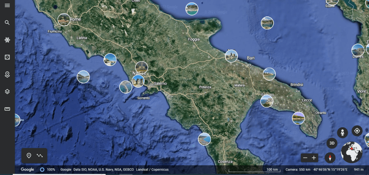
Google Earth Imagery
Google Earth provides access to high-resolution satellite imagery of the Earth’s surface, which allows users to see detailed views of different locations around the world. The satellite imagery in Google Earth is collected from a variety of sources, including government agencies and commercial satellite companies.
The satellite imagery in Google Earth is updated on a regular basis, with newer images replacing older ones as they become available. However, the frequency of updates can vary depending on the location and the availability of new imagery. Some areas may be updated more frequently than others, and some areas may have limited or no coverage at all.
In addition to viewing current satellite imagery, Google Earth also includes access to historical satellite imagery, which allows users to see how specific locations have changed over time. This can be a useful feature for a variety of purposes, such as studying the effects of urbanization or natural disasters.
Overall, the satellite imagery in Google Earth is a powerful and useful tool that allows users to see detailed views of different locations around the world and learn about the Earth’s surface in a new and interactive way.
How to Tell When a Google Earth Picture Was Taken?
In Google Earth, you can view the date when a satellite image was taken by following these steps:
- Open Google Earth on your computer or device.
- Navigate to the location that you are interested in.
- Right-click (or control-click on a Mac) on the location, and select “Show Lat/Long” from the context menu.
- A window will appear showing the latitude and longitude of the location, as well as the current date and time.
- To view the date when the satellite image was taken, click on the “More info” link in the window.
- A new window will appear showing more information about the location, including the date when the satellite image was taken.
Note: The date when the satellite image was taken may not be the same as the current date, especially if you are viewing historical satellite imagery.
Google Earth historical imagery
Google Earth includes access to historical satellite imagery, which allows users to see how specific locations have changed over time. To access historical satellite imagery in Google Earth, follow these steps:
- Open Google Earth on your computer or device.
- Navigate to the location that you are interested in.
- In the top menu bar, click on the “View” menu and select “Historical Imagery” from the drop-down menu.
- A timeline will appear at the bottom of the screen, showing the available historical imagery for the location.
- To view a specific image, click on the image in the timeline. The image will be displayed on the virtual globe.
- You can also use the timeline controls to move forward and backward in time and view different images.
Note: Not all locations in Google Earth have access to historical satellite imagery. The availability of historical imagery can vary depending on the location and the sources of the imagery.
Google Earth Versus Satellite Imagery
Google Earth is a computer program that allows users to view and interact with a virtual representation of the Earth, including satellite imagery, 3D building models, and terrain.
Satellite imagery, on the other hand, refers to images of the Earth’s surface that are captured by satellites orbiting the planet. These images are often used to create maps, study the Earth’s surface, and monitor changes over time. Satellite imagery can be used on its own or as part of a larger program or application, such as Google Earth.
Google Earth uses satellite imagery as one of its main sources of data, along with other types of data such as 3D building models and terrain data. The program combines this data with advanced mapping and visualization technologies to create a virtual representation of the Earth that users can interact with and explore.
FAQs
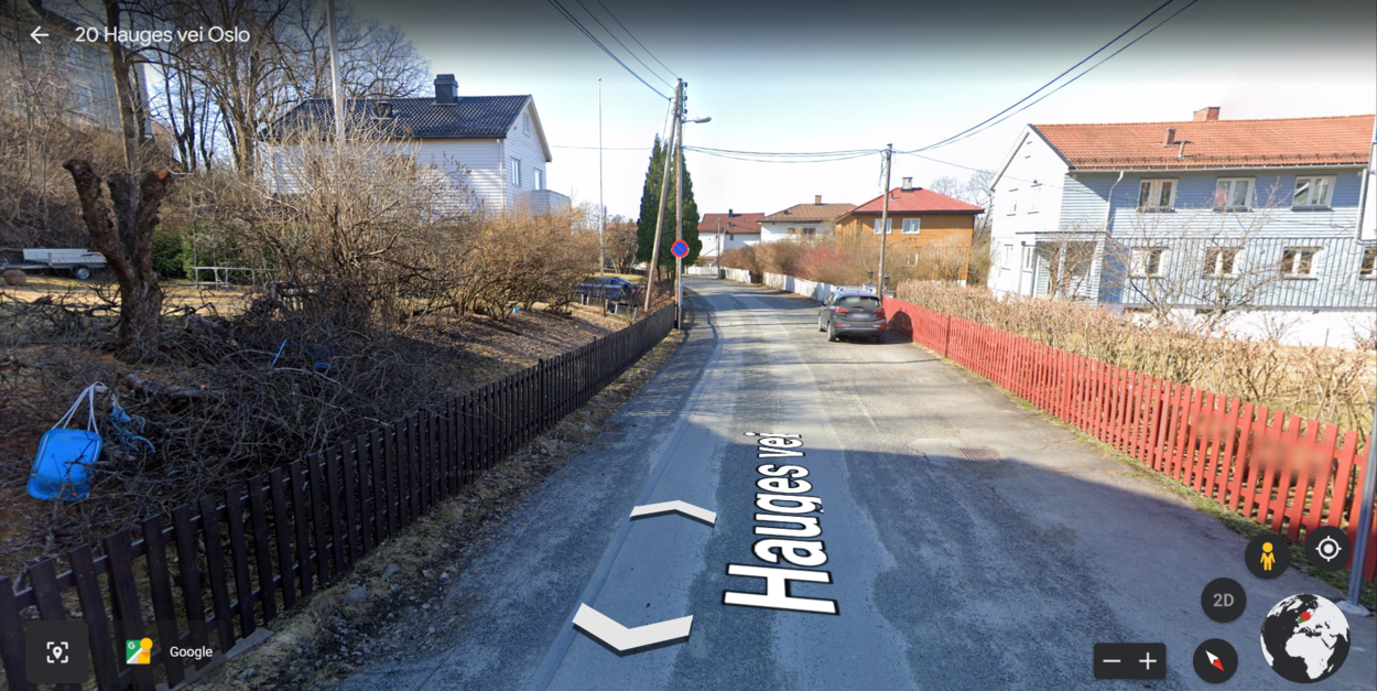
When Was Google Earth Street View Taken, and How Can You Tell?
When you choose the Street View option (if one is available), a little label with the words “Image Capture” and the months and years should appear at the bottom of the screen.
Google offers the ability to browse through their collection of previous Street View images for certain areas.
Can I View the Date When a Satellite Image Was Taken on the Mobile Version of Google Earth?
Yes, you can view the date when a satellite image was taken on the mobile version of Google Earth by following the same steps as on the desktop version.
Simply tap on the location, tap on the “More info” button, and the date when the satellite image was taken will be displayed.
How Often Is the Satellite Imagery in Google Earth Updated?
The satellite imagery in Google Earth is updated on a regular basis, with newer images replacing older ones as they become available.
However, the frequency of updates can vary depending on the location and the availability of new imagery. Some areas may be updated more frequently than others, and some areas may have limited or no coverage at all.
Conclusion
- To summarize, Google Earth is a computer program that allows users to view and interact with a virtual representation of the Earth, including satellite imagery, 3D building models, and terrain.
- The program includes access to historical satellite imagery, which allows users to see how specific locations have changed over time.
- To view the date when a satellite image was taken in Google Earth, you can right-click on the location and select “Show Lat/Long” from the context menu.
- This will display a window showing the latitude and longitude of the location, as well as the current date and time.
- To view the date when the satellite image was taken, you can click on the “More info” link in the window, which will display a new window showing more information about the location, including the date when the satellite image was taken.
- Overall, the ability to view historical satellite imagery in Google Earth is a powerful and useful feature that allows users to see how specific locations have changed over time and learn about the Earth’s surface in a new and interactive way.
Other Articles
- Can You Use Google Earth Without Downloading It? [Find Out]
- How to Use Google Earth Online (A Beginner’s Guide)
- Is Google Earth Free? [Revealed!]