One of the unique features of Google Earth is the ability to insert a specific date and view satellite imagery from that time period. This can be a useful tool for researching and studying the history and evolution of a location.
In this blog post, we’ll discuss how to insert a date in Google Earth and view satellite imagery from a specific time period. We’ll also discuss the benefits and potential applications of using this feature.
Whether you are a student, researcher, traveler, or simply curious about the world, Google Earth is a valuable resource that offers a rich and immersive experience of the world. So, if you want to learn more about this feature and how to use it, read on!
Do you want to see how a location has changed over time on Google Earth? One way to do this is by inserting a specific date to view the satellite imagery from that time period.
Inserting a date in Google Earth is easy and can be done through the “Historical Imagery” feature. Here are the steps to follow:
Open Google Earth and search for the location you want to view.
In the toolbar, click on the “View” drop-down menu and select “Historical Imagery.” This will open the “Historical Imagery” panel on the right side of the screen.
In the “Historical Imagery” panel, you’ll see a timeline at the bottom of the panel. The timeline displays the available satellite imagery for the location you have selected.
To insert a specific date, click on the timeline and drag it to the desired date. You can also use the “Play” button to animate the timeline and see how the location has changed over time.
As you move the timeline, you’ll see the satellite imagery update on the map. You can also use the “Previous” and “Next” buttons to move the timeline to the previous or next available date.
To view the date and time of the selected satellite imagery, hover your mouse over the timeline. You’ll see a pop-up window with the date and time of the imagery.
To view the satellite imagery in full screen, click on the “Full Screen” button in the “Historical Imagery” panel. This will open the satellite imagery in a separate window, allowing you to see the details more clearly.
Benefits of Using Google Earth
Google Earth is a popular virtual globe, map, and geographical information program that provides users with a 3D representation of Earth based on satellite imagery.
Google Earth allows users to explore the world from a bird’s eye view and view and interact with maps, locations, and other geographic data. This can be a fun and educational way to discover new places and learn about different cultures and environments.
Google Earth is widely used in education to teach geography, history, science, and other subjects. It provides a rich and immersive learning experience and allows students to visualize and understand concepts more effectively.
Google Earth is a useful tool for researchers and scientists to access and analyze geographic data and satellite imagery. It allows users to view and measure features on the ground, such as terrain, vegetation, and land use, and to study patterns and trends over time.
Google Earth can be a helpful resource for planning trips and vacations. It allows users to view and explore destinations, find hotels and attractions, and plan routes and itineraries.
Google Earth can be used for personal communication and sharing experiences with others. It allows users to create and share custom maps, tours, and stories and to communicate with others about locations and events.
Google Earth can be a fun and entertaining way to explore the world and discover new places. It offers a variety of features and tools, such as Street View, historical imagery, and tours and storytelling, that provide a rich and immersive experience.
Other features of Google Earth
A youtube video on google earth maps feature
In addition to the core features of Google Earth, which allow users to view and explore the world through satellite imagery, there are several other features that can enhance the user experience. Some of these features include:
Features
Briefly Explanation
Street View
Street View is a feature in Google Earth that allows users to explore locations on the ground by viewing panoramic street-level images. Street View images are updated regularly and provide a detailed and immersive view of locations around the world.
Historical imagery
The “Historical Imagery” feature in Google Earth allows users to view satellite imagery from different time periods and see how locations have changed over time. This can be a useful tool for researching and studying the history and evolution of a location.
Places and layers
Google Earth includes a range of “Places” and “Layers” that allow users to view and explore specific types of information and content. Some examples of Places and Layers include “Nature,” “Education,” “Real Estate,” and “3D Buildings.”
Measurement tools
Google Earth includes a range of measurement tools that allow users to measure distances, areas, and elevations on the map. These tools can be useful for a variety of purposes, such as planning routes, estimating distances, and analyzing terrain.
Integration with other Google products
Google Earth is integrated with other Google products, such as Google Maps and Google Street View, allowing users to easily switch between these tools and view different types of maps and imagery.
Summary of How do I insert a date in Google Earth?
Tips for Better Usage of Google Earth
Make sure that you are using the latest version of Google Earth to access the latest features and content. Some features, such as Street View, Traffic, and Weather, may not be enabled by default. To access these features, go to the “Layers” panel and select the desired layer.
Google Earth has a range of tools and options that are accessible through the toolbar and menu options. Take some time to explore these options and learn how to use them.
It includes a range of measurement tools that allow you to measure distances, areas, and elevations on the map. These tools can be useful for a variety of purposes, such as planning routes, estimating distances, and analyzing terrain.
The “My Maps” feature in Google Earth allows you to create and share custom maps, tours, and stories. You can add your own placemarks, lines, shapes, and labels to the map and add multimedia content, such as photos, videos, and text.
The search bar in Google Earth allows you to search for locations, addresses, and landmarks. You can also use the search bar to find specific types of content, such as businesses, parks, and schools.
Use the search bar in Google Earth
Google Earth has a number of keyboard shortcuts that allow you to quickly access and use certain features and tools. Some examples of keyboard shortcuts include zooming in and out, panning the map, and switching between different view modes.
Google Earth requires a stable and fast internet connection to function smoothly. If you are experiencing issues with the performance of Google Earth, try connecting to a faster internet connection.
Troubleshoot the Google Earth
Make sure that you are using the latest version of Google Earth. You can check for updates by going to the “Help” menu and selecting “About Google Earth.” If an update is available, follow the prompts to download and install the update.
Sometimes, simply restarting your device can resolve issues with Google Earth. Close Google Earth and any other open programs, then restart your device.
Make sure that your device meets the minimum system requirements for running Google Earth. You can find the system requirements for Google Earth on the Google Earth website.
Google Earth requires a stable and fast internet connection to function smoothly. If you are experiencing issues with the performance of Google Earth, try connecting to a faster internet connection or troubleshooting your internet connection.
Sometimes, issues with Google Earth can be caused by outdated or corrupted cache and cookies. To clear your cache and cookies, go to the “History” menu in your web browser and select “Clear browsing data.”
If you are unable to resolve the issues with Google Earth, you can contact Google Earth customer support.
Clear cookies and browsing data
FAQs
How Do I Insert a Date in Google Earth?
To insert a date in Google Earth, follow these steps: Open Google Earth and search for the location you want to view. In the toolbar, click on the “View” drop-down menu and select “Historical Imagery.”
In the “Historical Imagery” panel, you’ll see a timeline at the bottom of the panel. To insert a specific date, click on the timeline and drag it to the desired date. As you move the timeline, you’ll see the satellite imagery update on the map.
Is it Possible to View Satellite Imagery From Different Time Periods on Google Earth?
Yes, Google Earth allows users to view satellite imagery from different time periods through the “Historical Imagery” feature. To access this feature, go to the “View” drop-down menu and select “Historical Imagery.”
You’ll see a timeline at the bottom of the panel that displays the available satellite imagery for the location you’ve selected. You can use the timeline to view imagery from different time periods and see how the location has changed over time.
How Do I View the Date and Time of the Selected Satellite Imagery on Google Earth?
To view the date and time of the selected satellite imagery on Google Earth, hover your mouse over the timeline in the “Historical Imagery” panel.
You’ll see a pop-up window with the date and time of the imagery.
Are all Locations on Google Earth Available in Historical Imagery?
The availability of historical imagery may vary depending on the location and the availability of data. Some locations may not have historical imagery available.
To check the availability of historical imagery for a specific location, go to “View”.
Conclusion
Google Earth is a powerful tool that allows users to view and explore the world through satellite imagery.
One of the unique features of Google Earth is the ability to insert a specific date and view satellite imagery from that time period.
This can be a useful tool for researching and studying the history and evolution of a location.
To insert a date in Google Earth, follow these steps: Open Google Earth and search for the location you want to view. In the toolbar, click on the “View” drop-down menu and select “Historical Imagery.”
In the “Historical Imagery” panel, you’ll see a timeline at the bottom of the panel. To insert a specific date, click on the timeline and drag it to the desired date. As you move the timeline, you’ll see the satellite imagery update on the map.
You can also use the “Play” button to animate the timeline and see how the location has changed over time.
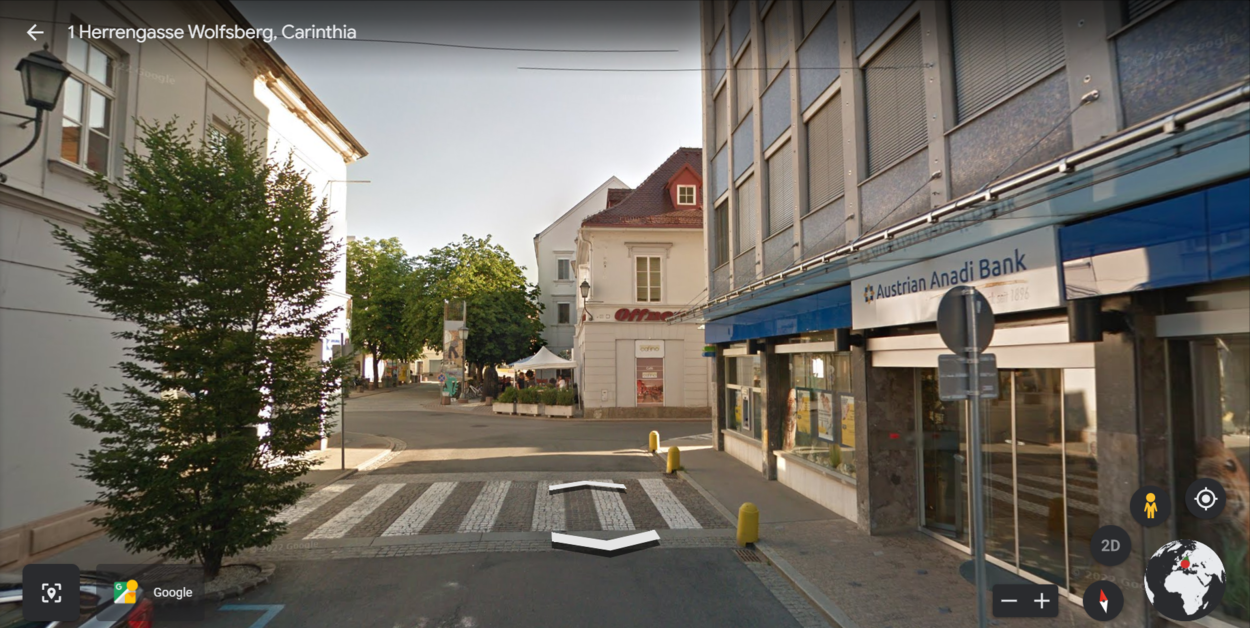
![How Do I Insert a Date in Google Earth?[Guide]](https://gearthhacks.com/wp-content/uploads/2023/01/erth.jpg)
![How Do I Insert a Date in Google Earth?[Guide]](https://gearthhacks.com/wp-content/uploads/2023/01/erth.jpg.webp)