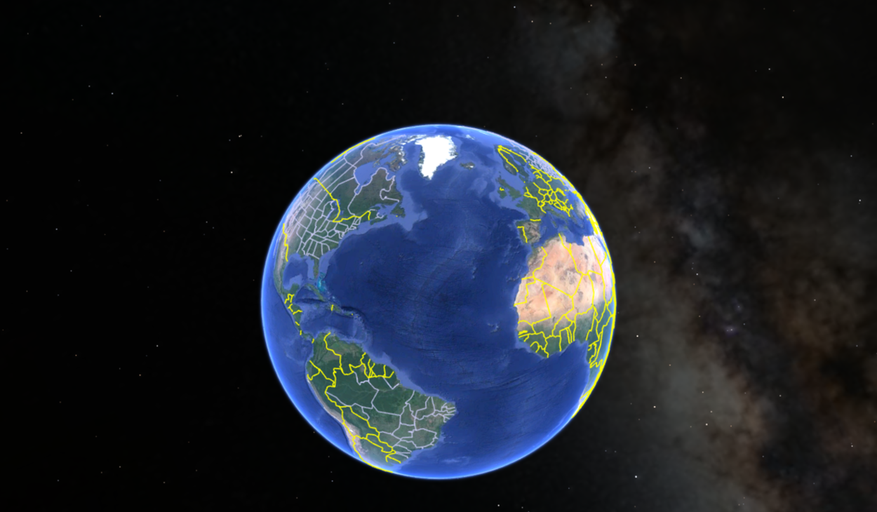
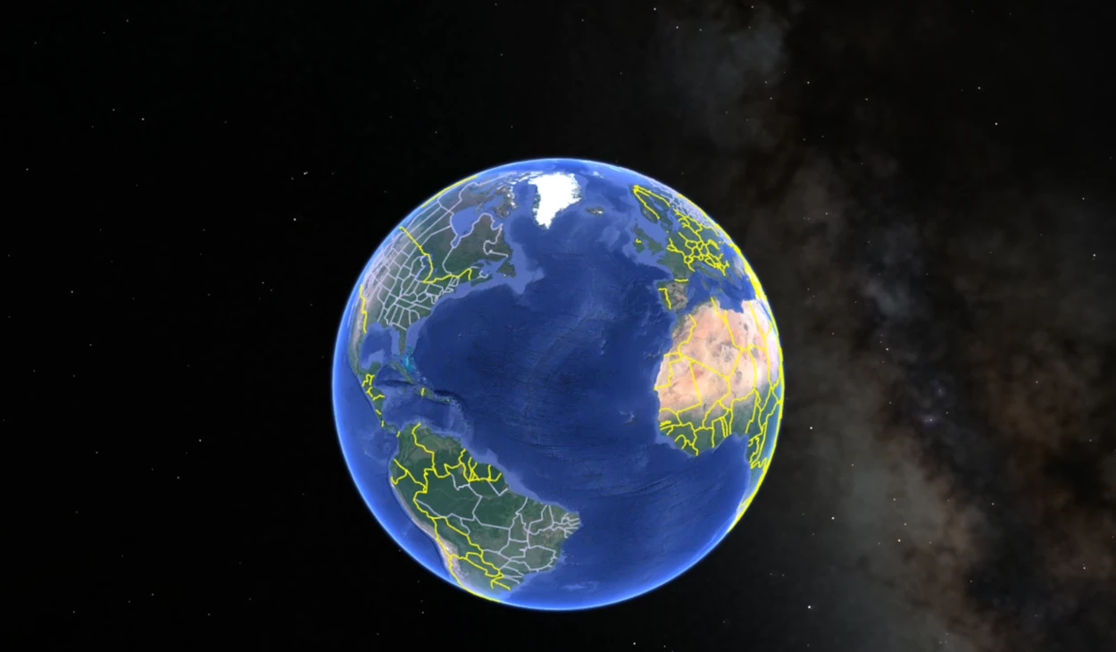
Google Earth is a digital platform that has revolutionized how we explore and view our planet. It’s a powerful tool that allows users to view the world from various angles and perspectives, offering a glimpse into the beauty and complexity of our environment.
Since its launch in 2005, Google Earth has become one of the most popular online tools for geographical exploration. Google Earth’s accessibility has made it popular among hobbyists, researchers, and academics, allowing powerful visualization, analysis, and communication.
In this article, we’ll explore the different ways to view something on Google Earth, whether it’s a specific address, a landmark, or a natural wonder. We’ll also discuss some of the platform’s unique features, such as historical imagery and street view, and how they can enhance your virtual exploration.
How Does Google Earth Actually Work?
Google Earth provides users with an interactive experience where they can explore different locations by zooming in and out, rotating and tilting the view, and moving around the map.
Users can also add their own content to the map, such as photos, videos, and placemarks, making it a collaborative platform.
The software uses various sources such as NASA, the US Geological Survey, and commercial satellites to provide high-quality satellite imagery, while specialized cameras take aerial photography from aircraft. The 3D models are created by combining satellite and aerial data.
Additionally, users can view historical imagery, which allows them to see how a location has changed over time.
Google Earth is a valuable tool for many users, including educators, researchers, and travelers, and is widely used worldwide.
Moreover, you can check out the tutorial below:
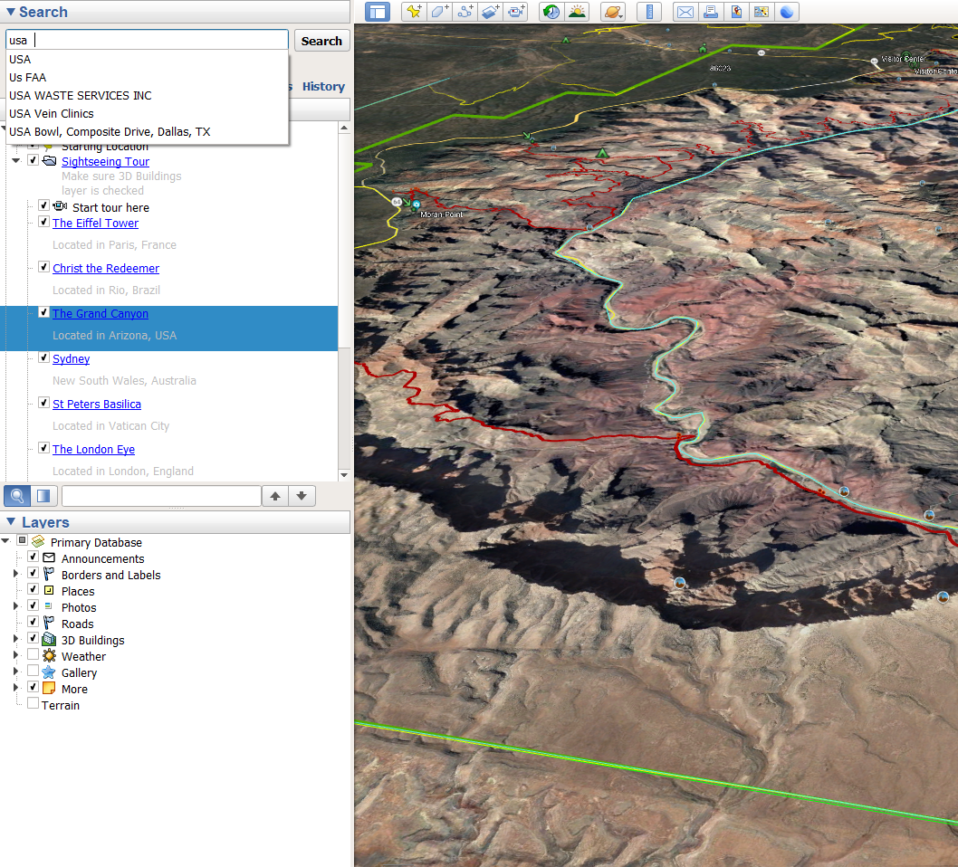
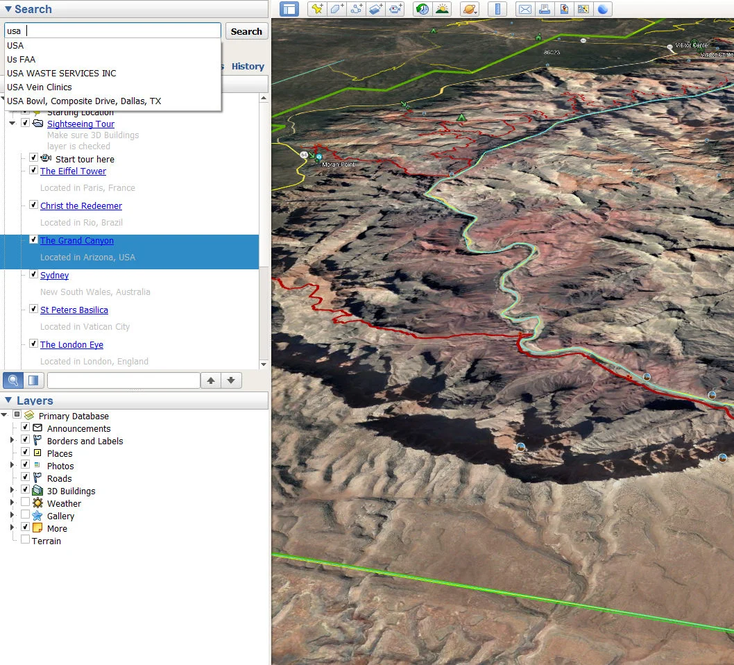
Steps to View Location on Google Earth
- Open the app: To start, open Google Earth on your desktop or mobile device. If you haven’t downloaded the application, you can find and download it easily from the Google Earth website.
- Search for a location: After launching Google Earth, you can locate your desired location using the search bar. Type the coordinates or location name, its address, or the landmark you wish to view and press “Enter.”
- Look for details: To adjust the view, you can zoom in or out of the map using either the zoom buttons or the scroll wheel on your mouse. Doing so will give you a more detailed, close-up view or a wider, bird’s-eye view of the location you are interested in.
- Explore the location: By clicking and dragging the map, you can explore the surrounding area of your chosen location. Additionally, you can tilt the view and adjust the angle of the map to get a more comprehensive look at the terrain and landscape.
- Use additional features: Besides the basic functions, Google Earth provides an array of features that can take your virtual experience to the next level. For instance, you can activate layers to display roads, borders, or points of interest. You can also use the “Street View” function to view the location from ground level or utilize the ruler tool to measure distances.
View Images on Google Earth.
One feature that sets Google Earth apart from other mapping applications is the “Historical Imagery” feature. It offers a fascinating way to view satellite images of a location from different periods, allowing you to compare and contrast the changes that have occurred over time.
The Historical Imagery feature is simple to use. First, navigate to the location you want to explore on Google Earth and click the “Clock” icon in the toolbar. The slider that appears allows you to move back and forth in time, and you can select a specific date range for the imagery.
Once you’ve chosen a date, the satellite imagery will automatically update, and you can observe how the location looked at that time.
The Historical Imagery feature provides an unparalleled opportunity to see how a location has changed over time. You can view how landscapes have transformed, buildings have been constructed and demolished, and how natural disasters have impacted the area.
Additionally, it provides a unique opportunity to explore the area’s history and cultural significance.
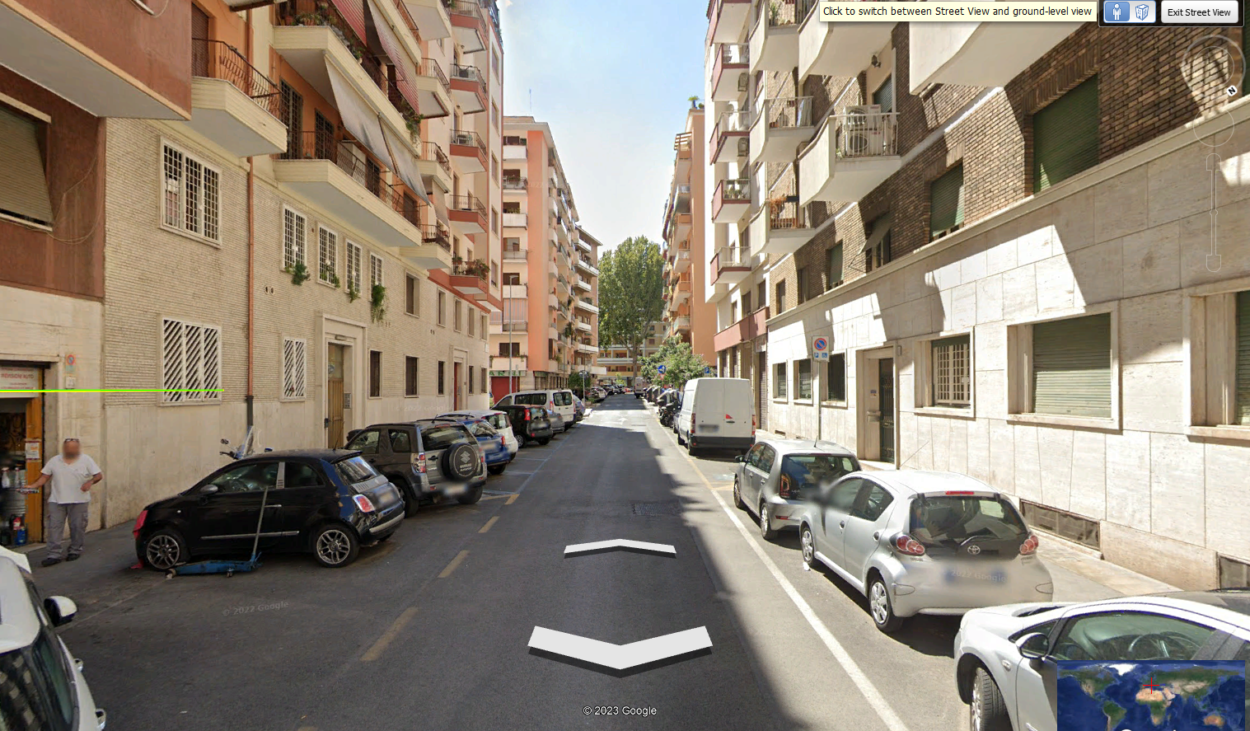
View Street View on Google Earth.
Following are some steps to view Street View:
Step 1: Begin by launching Google Earth on your desktop or mobile device.
Step 2: Use the search bar to find the location you want to explore. Once you’ve found the location, zoom in to closely examine the area.
Step 3: To activate Street View, click the “Pegman” icon in the toolbar or drag and drop it onto the map. The Pegman icon can be found on the right-hand side of the screen.
Step 4: Once Street View is active, you can explore the location by clicking and dragging the screen. You can also use the arrows on the screen to move forward, backward, left, or right.
Step 5: When you’re done exploring the location, click the “Exit Street View” button on the screen’s top left corner to exit the feature.

Shortcut Keys to View something on Google Earth
Google Earth offers several shortcut keys to help you navigate the application more quickly and efficiently. Here are some of the most useful shortcut keys for viewing something on Google Earth:
| 1. Zoom In/Out | Use the “+” or “-” keys on your keyboard to zoom in or out on the map. |
| 2. Rotate View | Hold down the “Ctrl” key and use the arrow keys to rotate the view left or right. |
| 3. Tilt View | Hold down the “Ctrl” and “Shift” keys and use the arrow keys to tilt the view up or down. |
| 4. Pan View | Use the arrow keys to move the view up, down, left, or right. |
| 5. Full-Screen Mode | Press the “F11” key to toggle between full-screen and windowed modes. |
| 6. View Elevation Profile | Hold down the “Ctrl” and “Shift” keys and click and drag a line across the map to view the elevation profile of the terrain. |
| 7. View Properties | Click on a location on the map and press “Ctrl+Alt+V” to view the location’s properties. |
FAQS
How do I open Google Earth images?
To view Google Earth images, open the app on your device and search for your desired location. Zoom in and click the image icon to access available images for that area.
Use the arrows to navigate between images, and use the slider to adjust the transparency of the image overlay on the map.
What are the benefits of using Google Earth to view locations and landmarks?
Google Earth provides several advantages for exploring locations and landmarks. It enables users to discover and learn about a location’s geography, culture, and topography and to view areas from various angles and perspectives.
Google Earth is also helpful for travel planning, research, and educational purposes.
How do you go inside something on Google Earth?
If you want to explore the interior of a building or landmark on Google Earth, start by zooming in on the location until 3D imagery appears. Click on the location to activate the information card, then click the 3D view button to enter Street View mode.
When available, you can move around inside the structure by clicking and dragging your cursor. This feature allows for a more immersive and in-depth exploration of various locations.
Conclusion
- Google Earth revolutionized planet exploration with its digital platform for viewing and exploring our world.
- To view a location on Google Earth, users can search for a location, zoom in or out of the map, and explore the surrounding area.
- Additionally, Google Earth provides several features, such as historical imagery, 3D mapping, and street view, which can enhance the virtual experience.
- To view street view, launch Google Earth, use the search bar to find a location, zoom in, click the Pegman icon to activate Street View, explore by clicking/dragging, use arrows, and click “Exit Street View” to exit.
- The platform offers shortcut keys to help users navigate the application more quickly and efficiently. With these features, Google Earth provides a unique experience that lets users travel virtually anywhere on Earth.
Related Articles
- How to See Current View in Google Earth? (All Info)
- How to Use Google Earth Online (A Beginner’s Guide)
- How to Use Google Earth in Chrome? [Find Out]