![How Do You Go Back in Time on Google Earth?[Guide]](https://gearthhacks.com/wp-content/uploads/2022/12/Google-Earth-GeologyPage_1250x-2.jpg)
![How Do You Go Back in Time on Google Earth?[Guide]](https://gearthhacks.com/wp-content/uploads/2022/12/Google-Earth-GeologyPage_1250x-2.jpg.webp)
Google Earth is a powerful tool that allows users to explore the world from the comfort of their own homes. With its interactive map and satellite imagery, users can zoom in on virtually any location on the planet and see it in great detail.
But Google Earth isn’t just a tool for exploring the present, it also allows users to explore the past. This blog post aims to explain how to use the Time Slider feature on Google Earth to view historical imagery and learn more about how different locations have changed over time.
We’ll cover how to access the Time Slider, how to use it to view historical imagery, and how to save and share that imagery with others. By the end of this post, you’ll be able to use Google Earth to travel back in time and gain new perspectives on the world around us.
Understanding Google Earth Time Slider

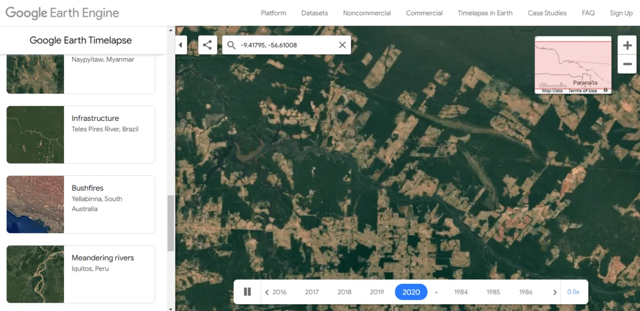
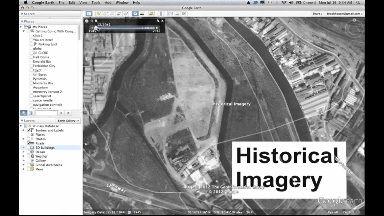
Google Earth’s Time Slider is a feature that allows users to view historical imagery of a location. It’s a simple yet powerful tool that allows users to see how a location has changed over time. To access the Time Slider:
- Open Google Earth
- Navigate to a location of your choice. Once there, you’ll find the Time Slider in the top-right corner of the screen, represented by a clock icon.
- A calendar will appear on the screen by clicking on the Time Slider. This calendar allows you to select a specific date to view the imagery from that date. You can also use the play button to see how a location has changed over time.
The Time Slider also has a “Sync View” button which allows you to keep the view of the location in sync as you move through time, so you can see how different parts of the location have changed.
It’s important to note that the historical imagery available on Google Earth varies depending on the location and the date. Some locations have imagery available dating back several decades, while others may only have imagery from the last few years. Additionally, the quality of the imagery can also vary depending on the date.
Overall, the Time Slider feature on Google Earth is a great tool for exploring the past and seeing how different locations have changed over time. It’s easy to use, and it allows you to gain new perspectives on the world around us.
Exploring Historical Imagery
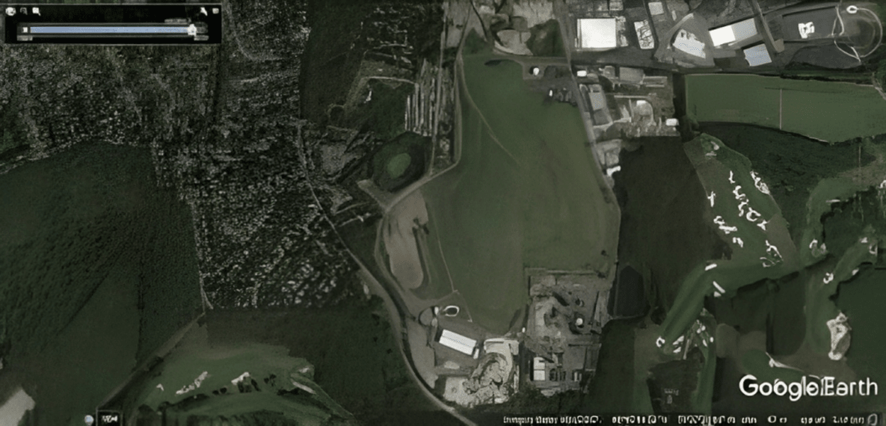
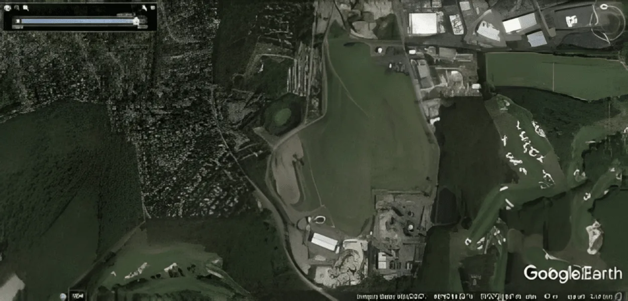
One of the most exciting things about using the Time Slider on Google Earth is the ability to explore the historical imagery of a location. This feature allows you to see how a location has changed over time, giving you a unique perspective on the world around you.
To explore historical imagery, simply open Google Earth and navigate to the location you want to view. Once there, click on the Time Slider in the top-right corner of the screen.
From there, you can select a specific date to view the imagery from that date. You can also use the play button to see how the location has changed over time.
| Step | Description |
| 1 | Open Google Earth on your computer |
| 2 | Click on the “View” menu in the top menu bar |
| 3 | Select “Historical Imagery” |
| 4 | Use the timeline slider at the bottom of the screen to navigate to the desired date |
| 5 | The map will change to display imagery from the selected date |
There are several examples of historical imagery available on Google Earth. You can see how a city has grown and changed over time, or how a natural landscape has been affected by human activity. For example, you can see how the Las Vegas Strip has changed over the past few decades, or how the Amazon Rainforest has been impacted by deforestation.
Additionally, Google Earth has also features that allow you to compare different points in time, this feature is called “Historical Imagery Viewer“, and it can be accessed by right-clicking on the location and selecting “Compare.”
Saving and Sharing Historical Imagery
Once you’ve found interesting historical imagery on Google Earth, you may want to save it or share it with others. Fortunately, Google Earth makes this process easy and convenient.
To save historical imagery from Google Earth, simply click on the “Save Image” button in the Time Slider. This will save the image to your computer in a JPEG format. You can then use this image for personal or professional use, like for example in a research paper or a school presentation.
Sharing historical imagery from Google Earth is also simple. You can use the “Share” button in the Time Slider to share the imagery via a link or embed code. This allows others to view the imagery on Google Earth without having to search for it themselves.
Additionally, you can also share the image you saved previously using any image-sharing platform or social media, so others can see it.
It’s worth noting that while Google Earth allows you to save and share historical imagery, it’s important to be aware of copyright and usage restrictions when using the images. Some images may be copyrighted and can only be used for non-commercial use, or a permit may be needed before using them.
Make sure to familiarize yourself with the terms of use before using or sharing any historical imagery from Google Earth.
Overall, the ability to save and share historical imagery from Google Earth makes it a valuable tool for research, education, and personal use. With just a few clicks, you can save and share images that provide a unique perspective on how the world has changed over time.
Limitations of Historical Imagery on Google Earth

While Google Earth’s Time Slider feature provides a wealth of historical imagery, there are some limitations to what is available and the quality of the imagery.
One limitation is the availability of historical imagery. Not all locations have imagery available dating back several decades, and some locations may only have imagery from the last few years. Additionally, the coverage of historical imagery may vary depending on the location.
Some areas of the world may have more complete historical imagery coverage than others.
Another limitation is the quality of the historical imagery. The quality of the imagery can vary depending on the date it was taken and the resolution of the original image. Some historical imagery may be of lower quality due to the technology available at the time it was taken, while newer imagery may be of higher quality.
It’s also important to note that the Time Slider feature on Google Earth is based on satellite imagery, which means that it does not include all the information that could be gathered from ground-based photography.
This means that you’ll not be able to see some details that could be captured from the ground, like the condition of the buildings or the number of people in a place.
Despite these limitations, Google Earth’s historical imagery is still a valuable tool for exploring the past and gaining new perspectives on the world around us. It’s important to keep in mind these limitations when using the Time Slider feature, but also to keep an open mind and explore the imagery available.
FAQs
How Do I Access Historical Imagery on Google Earth?
To access historical imagery on Google Earth, you can use the “View Historical Imagery” feature in the bottom-left corner of the screen.
This will allow you to select a specific date and view the imagery from that time period.
Can I See How a Location Looked in the Past on Google Earth?
Yes, you can use the “View Historical Imagery” feature on Google Earth to view how a location looked in the past.
This feature allows you to select a specific date and view the imagery from that time period.
How Far Back in Time Can I View Imagery on Google Earth?
The availability of historical imagery on Google Earth varies depending on the location.
Some areas may have imagery dating back several decades, while others may only have imagery from the past few years.
Is it Possible to View 3D Imagery of a Location From the Past on Google Earth?
No, the “View Historical Imagery” feature on Google Earth only allows you to view 2D imagery of a location from the past.
The 3D imagery is only available for the current version of the map.
Conclusion
- In conclusion, Google Earth is a powerful tool that allows you to explore the world from the comfort of your own home.
- One of the most interesting features of Google Earth is the ability to go back in time and see how a location has changed over the years.
- To access this feature, simply open Google Earth, navigate to the location you want to see, and use the timeline feature located at the bottom of the screen.
- With this feature, you can easily see how a city has grown or how a natural landscape has changed.
- It’s a fascinating way to explore the world and gain a better understanding of how it has evolved over time.
- So, next time you’re using Google Earth, don’t forget to take a trip back in time and see how the world has changed!
Related Articles
- Is Zoom Earth Better Than Google Earth?[Comparison]
- Is Google Earth Really Live? [Revealed]
- Where Does Google Earth Get its Data? [Revealed]