
Google Earth is a great and impactful tool for exploring the world. With Google Earth, you can zoom in to see your house or zoom out to see the entire planet.
However, navigating through Google Earth can be challenging for some users, especially if they are not familiar with the various features and tools available in the application.
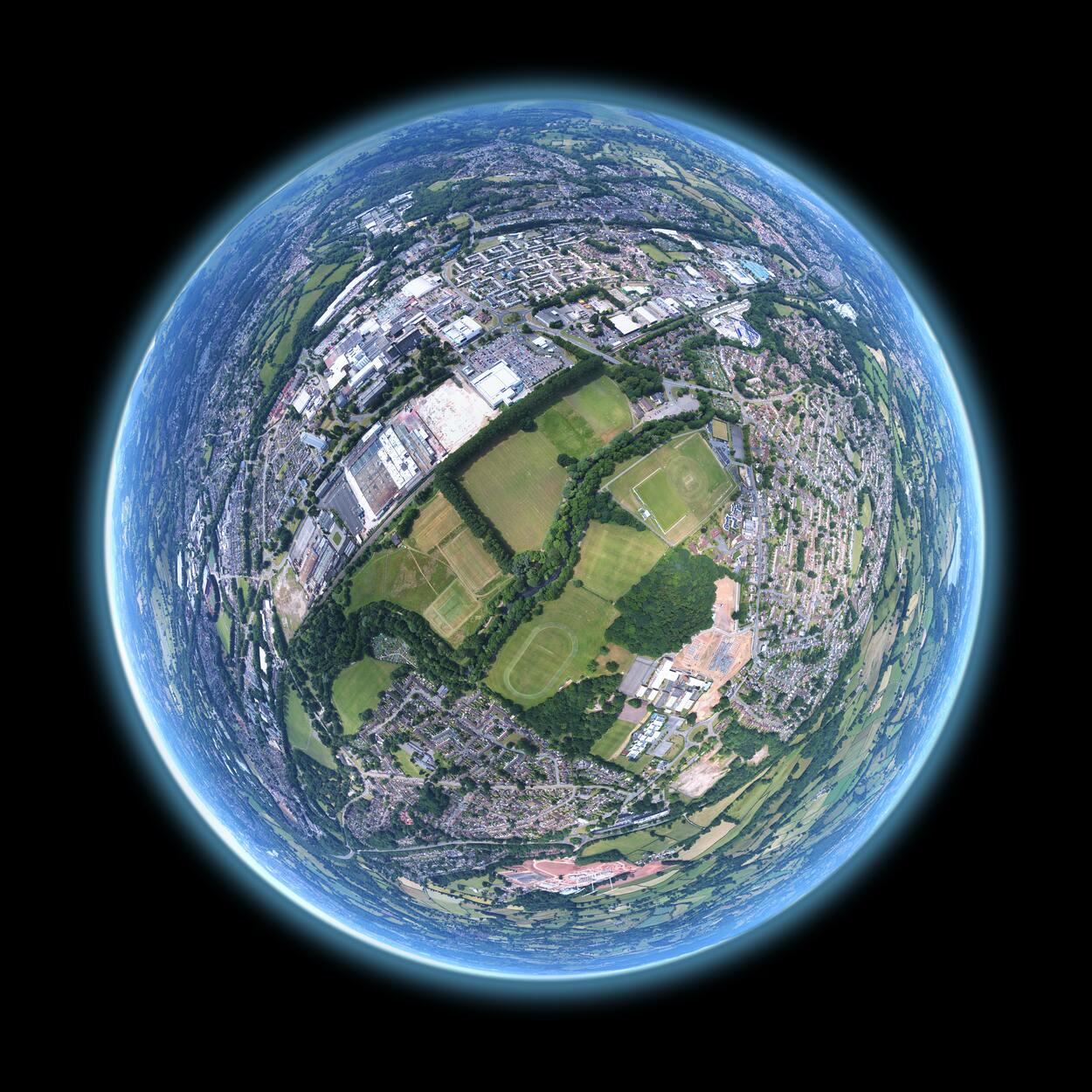
One of the basic functions of Google Earth is the ability to move up and down, which is important for getting a better view of a specific location or area.
In this context, knowing how to go up and down in Google Earth is essential to make the most of the application and enhance your exploration experience. So to learn about it, let’s get started!
How Do You Go Up and Down in Google Earth?
Various methods are available depending on the device used to go up or down on Google Earth. Here are some of the most common ways to navigate:
- Mouse or Touchpad: When using a mouse or touchpad, you can zoom out to view the terrain from a higher altitude. Alternatively, you can tilt the view downwards or upwards by pressing and holding the right mouse button while moving the mouse down or up.
- Keyboard: If you have a keyboard, you can use the Page Down key to move the view downwards, and similarly, you can do the same for going upwards. Additionally, the arrow keys can pan the view in any direction.
- Mobile Devices: When using Google Earth on a mobile device, you can zoom out and see the terrain from a higher altitude using the pinch-to-zoom gesture. You can also tilt the view by swiping up or down with two fingers.
Moreover, you can check out the video below to learn more about Google Earth:
How do you go North on Google Earth?
To go north on Google Earth, several methods can be used. Here’re how to do it:
| Compass | The compass located at the top right corner of the screen can be used to adjust the orientation of the view. To go north, click and drag the compass in a clockwise direction until the compass points to the top of the screen. |
| Keyboard | You can use the arrow keys to pan the view northward if you have a keyboard. The up arrow key will move the view up toward the North Pole. |
| Mouse or Touchpad | If you are using a mouse or touchpad, you can pan the view northward by clicking and holding the left mouse button and moving the mouse upwards. Alternatively, you can tilt the view downwards by clicking and holding the right mouse button and moving the mouse down |
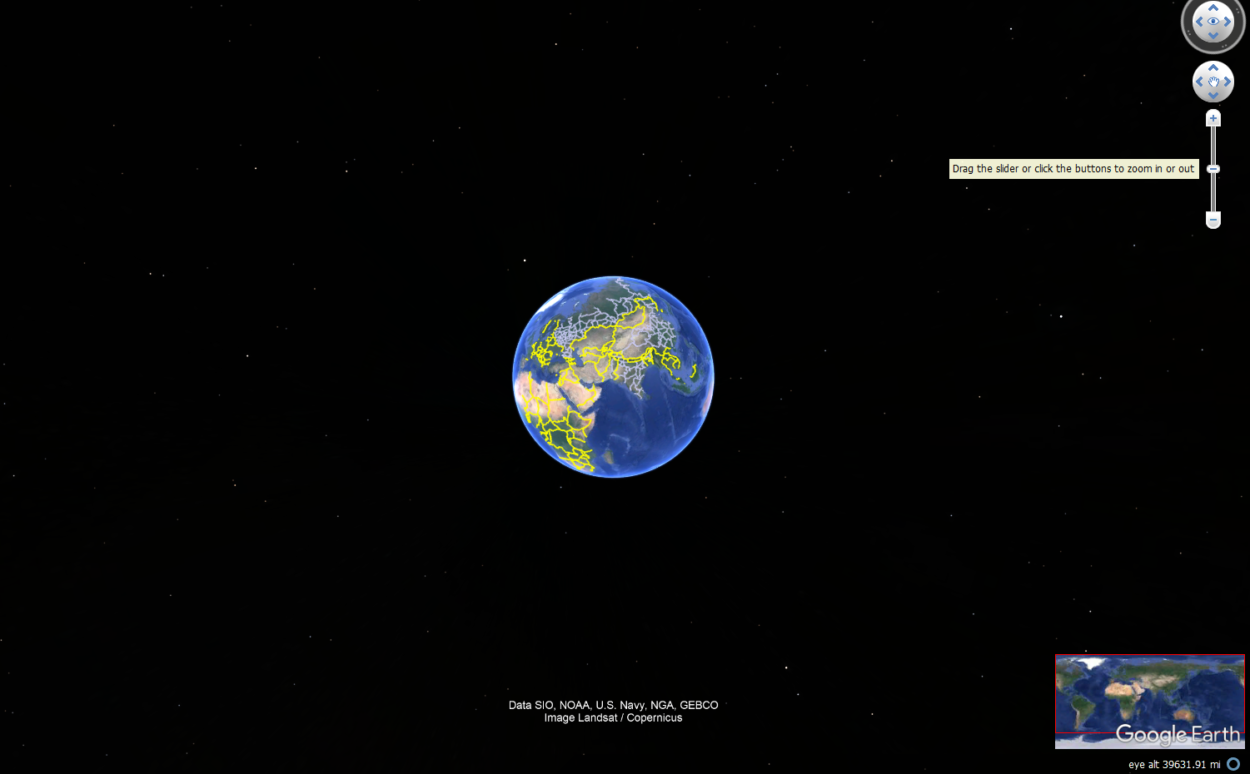
Can I Change the Altitude of my View on Google Earth?
Yes, you can change the altitude of your view on Google Earth. Google Earth is a popular online virtual globe and map software allowing you to explore the world from the comfort of your home.
By adjusting the altitude of your view, you can get a different perspective of the earth’s surface and explore different areas in more detail.
To change the altitude of your view on Google Earth, follow these simple steps:
- On your computer or mobile device, open Google Earth.
- Navigate to the location you want to view by typing the location into the search bar or zooming in and out of the map.
- Click or tap the “View” tab in the top menu bar.
- Select “Elevation Profile” from the drop-down menu.
- A graph will appear on the right side of the screen, showing the elevation of the terrain at your current location.
- Click and drag the red line on the graph up or down to change the altitude of your view.
- As you adjust the altitude, the view on the map will change to reflect the new elevation.
You can also use the mouse scroll wheel or two-finger touchpad gesture to zoom in and out, which will also change the altitude of your view.
Changing the altitude of your view on Google Earth is a great way to explore the world in more detail and better understand the topography of different areas.
How can I View the Ground Level of a Specific Location on Google Earth?
Discovering the world from a bird’s eye is a fascinating experience, but sometimes, we crave a more personal connection with the places we explore. With Google Earth, you can delve deeper and explore the ground level of any location that piques your curiosity.
Firstly, launch the Google Earth application or website and input the location you desire to explore. As you zoom in, the map will become clearer, bringing you closer to your chosen spot.
Spot the “Street View” button, a little person icon in the screen’s bottom right-hand corner. Click on it, and voila, you’ll be transported to the ground-level view of your destination.

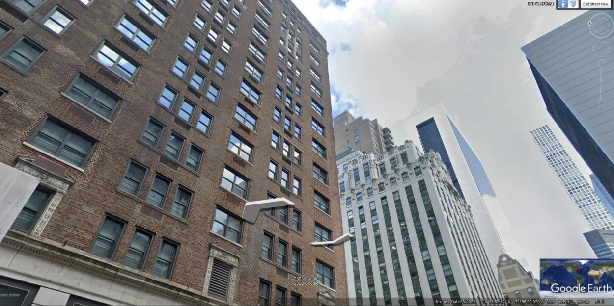
Explore your surroundings, and take every detail as if you were there. You can use your fingers to move around and easily navigate the area, getting up close and personal with the streets, buildings, and landmarks.
If, by any chance, Street View isn’t available for your desired location, fret not! You can still enjoy a three-dimensional perspective by clicking the “Explore” button in the screen’s bottom left-hand corner. With this option, you can survey the area from various angles and truly appreciate the grandeur of the location.
What are the Keyboard Shortcuts for Moving Up and Down in Google Earth?
Google Earth offers several keyboard shortcuts to help you move up and down within the virtual environment. Here’re some useful shortcuts:
- “Page Up” key: Use this key to move up in altitude by a fixed distance.
- “Page Down” key: Use this key to move down in altitude by a fixed distance.
- “Ctrl” + “Page Up” keys: Use these keys to tilt the view up.
- “Ctrl” + “Page Down” keys: Use these keys to tilt the view down.
- “Shift” + “Up Arrow” keys: Use these keys to move the view up smoothly.
- “Shift” + “Down Arrow” keys: Use these keys to move the view down smoothly.
- “+” key: Use this key to zoom in.
- “-” key: Use this key to zoom out.
Are there any Limitations to How Far Up or Down you Can Go on Google Earth?
While Google Earth provides a remarkable platform for exploring the world in 3D, there are limitations to how far up or down you can go. The maximum elevation you can reach on Google Earth is approximately 18,000 meters or 60,000 feet, which is the height at which commercial airplanes typically fly.
On the other hand, the lowest elevation you can reach on Google Earth is the ocean floor level, which is approximately 11,000 meters or 36,000 feet below sea level.
However, the quality of the imagery and data available at these extreme elevations may vary, and you may not see the same level of detail as you can at lower elevations.
The level of detail available in Google Earth varies depending on the location and the source of the imagery. Some areas may have higher resolution imagery, while others may have lower quality or be obscured by clouds.
Despite these limitations, Google Earth remains a good tool for exploring the world and understanding our planet’s geography and topography.
FAQS
How do you zoom in on Google Earth using the keyboard?
Using the keyboard to zoom in and out on Google Earth is a simple and efficient way to navigate the virtual environment. On your keyboard, to zoom in, press the “+” key. To zoom out, press the “-” key.
These keyboard shortcuts allow you to quickly adjust the level of detail and perspective of the view, allowing you to explore your chosen location from different distances and angles.
Is it possible to use Google Earth VR to move up and down?
Yes, it’s possible to use Google Earth VR to move up and down. In fact, Google Earth VR provides an immersive experience that allows you to move up and down in a more intuitive and natural way.
Using hand-held controllers, you can move through the virtual environment in various ways, including up and down, and experience a more lifelike sense of scale and perspective.
Conclusion
- One of its fundamental features is the capability to navigate up and down. This function is crucial for obtaining a more comprehensive understanding of a particular place or region.
- Users can obtain an aerial view of an area by moving up, providing them with a bird’s eye perspective.
- Conversely, moving down enables users to observe locations from a street-level view, allowing for a more in-depth analysis of the area’s characteristics.
- You can use several methods to move around the globe on Google Earth, such as a mouse, touchpad, keypad, and navigation controls.
- There’re certain limitations to how far up or down you can go, but still, Google Earth is a powerful tool.
Related Articles
- Is Google Earth Free? [Revealed!]
- How Do You Go Back in Time on Google Earth?[Guide]
- How to Use Google Earth Online