
Google Earth is a revolutionary software that allows users to explore the world in 3D. It provides an interactive map of the entire planet, allowing users to zoom in and out of different areas, view satellite imagery, and even take virtual tours of cities and landmarks around the globe.
With Google Earth, users can learn more about our planet in a fun and engaging way. Google Earth has revolutionized how we explore our world through its stunning visuals and intuitive navigation tools.
But how often are these images updated?
The answer is: it depends. Google Earth’s street view imagery is updated on a rolling basis, with different parts of the world being updated at different times. However, if you want to see the most up-to-date images, you can typically find them in urban areas, with a greater demand for them.
However, let’s explore this a little more to find out more about Google Earth’s street view and how often it updates!
Table of Contents
ToggleHow Often Does Street View Update?
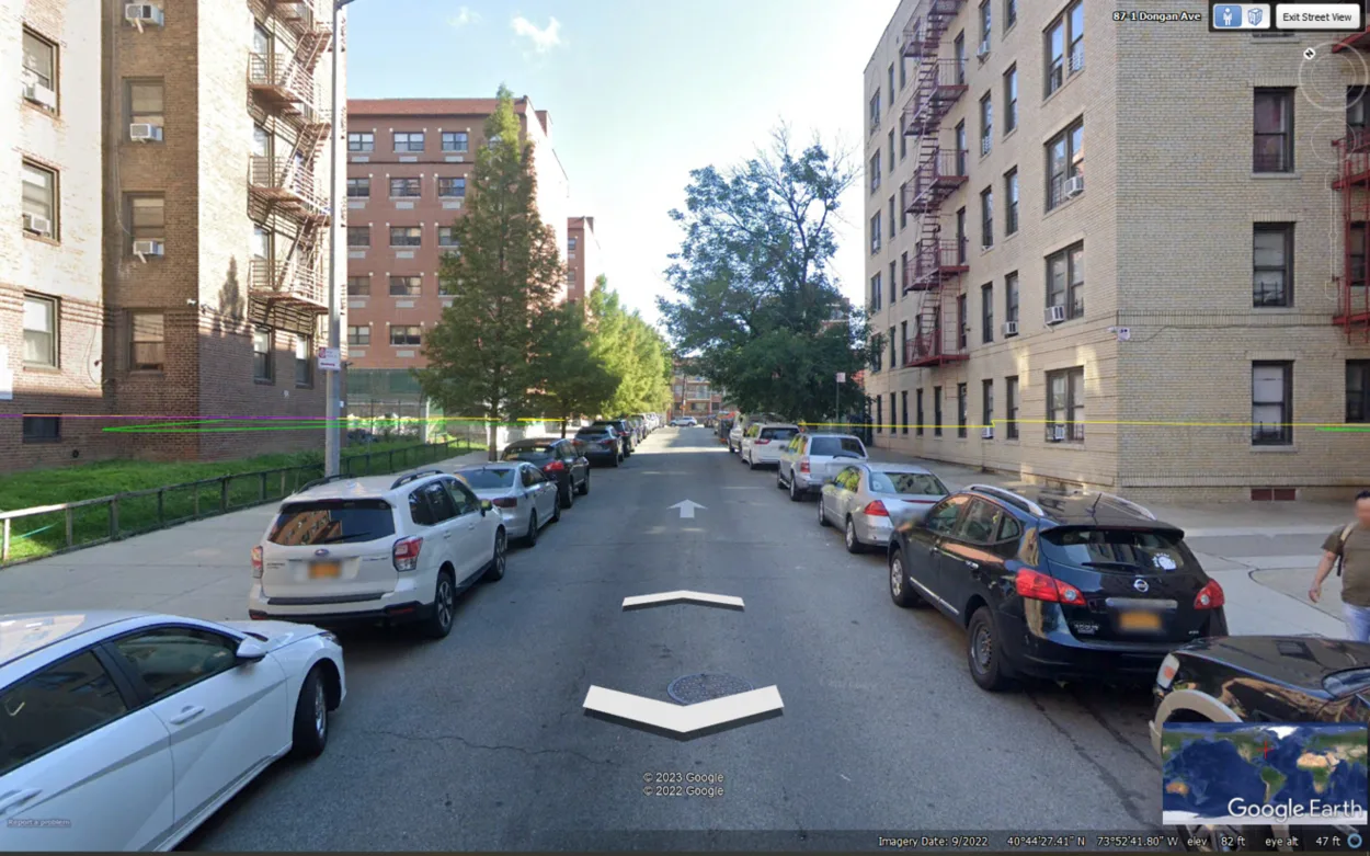
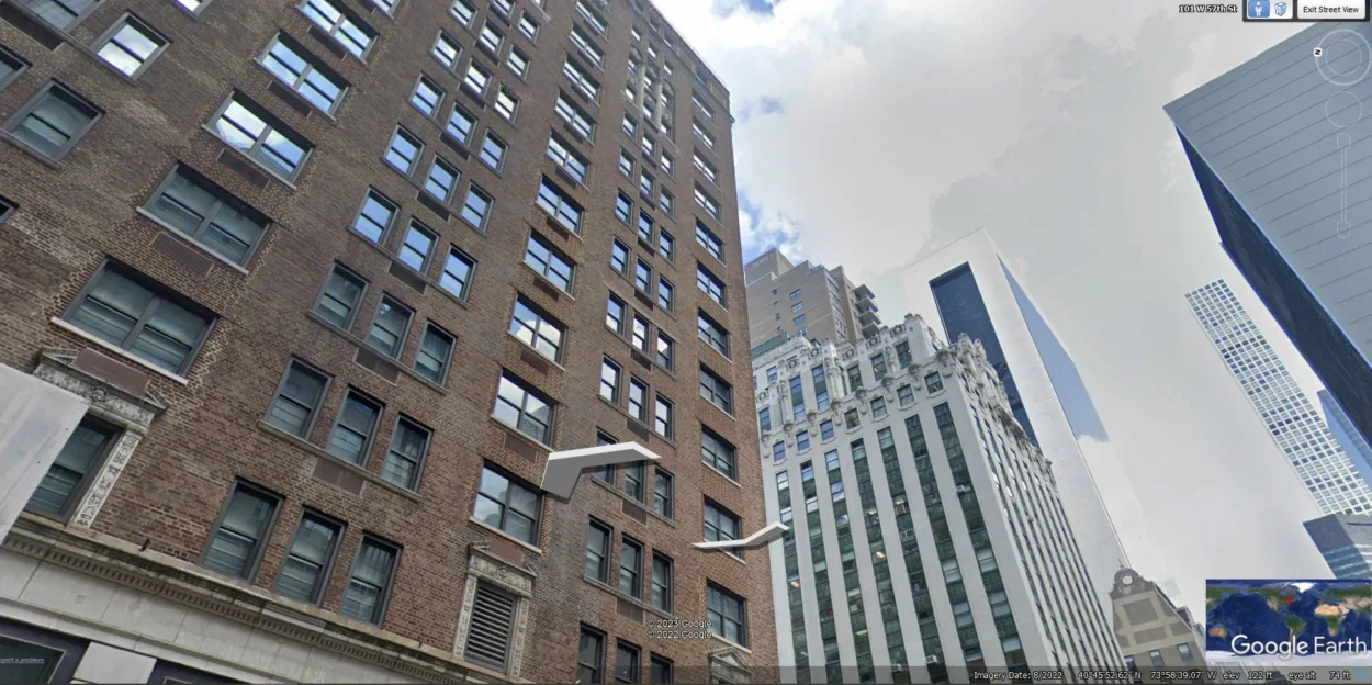
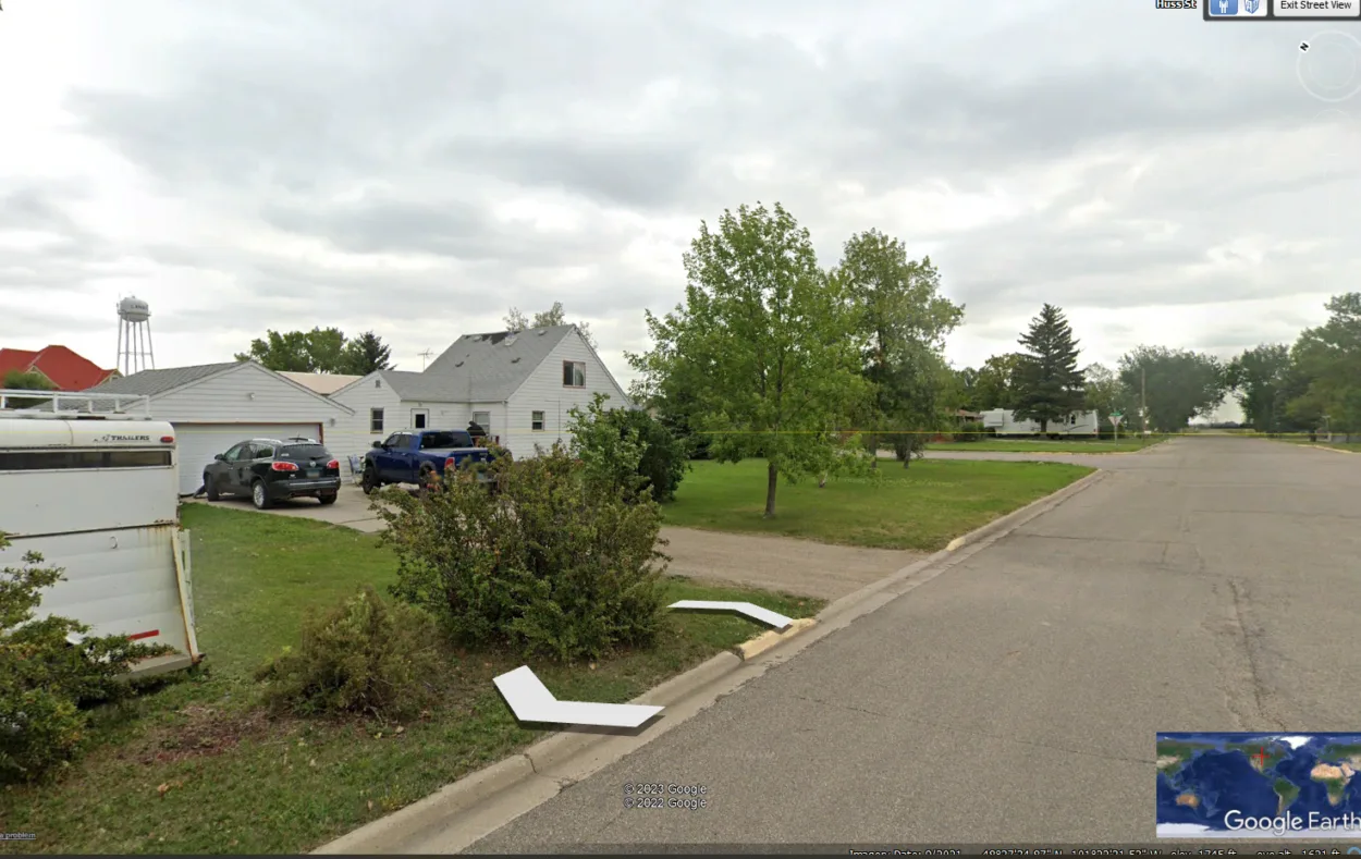
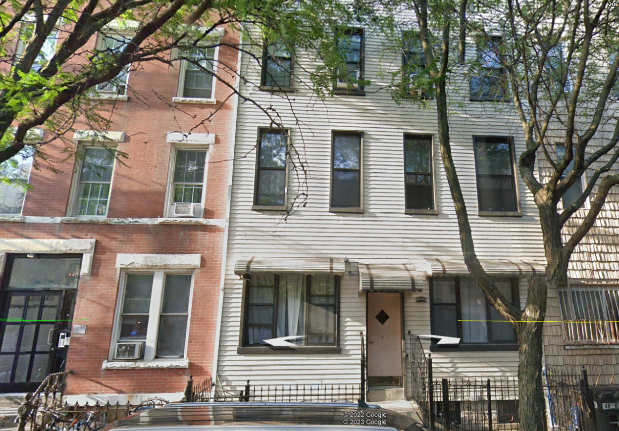
Google Street View is a feature of Google Earth maps that allows users to view 360-degree images of streets and landmarks. The feature is built into the web version of Google Earth and the downloadable version, Google Earth Pro.
Street View images are taken by Google’s fleet of vehicles, such as boats, bicycles, and cars equipped with cameras that capture panoramic images of the surroundings.
So how often are these images updated? It depends on the location. Street View images are updated every few months or once a month in high-traffic areas. In lower-traffic areas, the images may only be updated once a year.
Therefore, the next time you’re curious about how your street looks on Google Earth, check back often – you might just be surprised at what you find!
Moreover, you can learn more about Google Earth street view below:
How Quickly does Google Street View Update?
Google Street View is a great tool for getting up-to-date information on the appearance of a given location. But how quickly does it update?
The answer to this question depends on several factors, including the location in question, the time of year, and the amount of traffic in the area. In general, however, Google Street View is updated every few months. You can usually get a fairly accurate picture of a location by checking Street View.
Does Google Street View Update Automatically?
Google Earth is a map that uses panoramic photos taken from cars, bikes, and even boats to provide an immersive experience for its users of the street view. Google Earth Street View has been steadily improving over the years and now offers high-resolution images of streets all over the world.
The answer to whether Google Street View automatically updates in Google Earth is yes. The imagery in Street View is constantly updated as new photos are taken by vehicles and other sources. As such, you can expect to see new images whenever you open up Google Earth’s Street View feature.
When was the Last Street View taken?
Knowing when the last Street View was taken can be a tricky task. Fortunately, Google Earth has made it easier for us to find out. With Google Earth, you can easily view the latest Street View images of any street in the world.

All you’ve to do is search for the address or area you are interested in and select “Street View” from the options on the left side of your screen. You’ll then be able to see when the last Street View was taken in the status bar at the end of the page and how recently it has been updated.
Additionally, you can also browse through older images of a particular street by using the timeline feature at the bottom of your screen.
Are Google Street Views Live?
Google Street Views aren’t live. Google Earth takes pictures of streets and locations every few months and stores them in its database.
This means that when you use Google Street View, you’re viewing images that were taken some time ago rather than seeing what’s happening in real-time. The images may have changed since they were taken, so there is no guarantee that what you see on Google Street View will be accurate now.
How often does Google Earth take a Picture of my House?
Being the amazing tool Google Earth is, you might wonder if it could do wonderful things like showing your house. You might think it’ll show you real-time activities outside your home. However, it’s not that simple, and even after having so many advanced features, Google Earth still has its own limitations.
The frequency of updates to Google Earth’s imagery relies on a number of variables, including the area’s popularity, how frequently it changes, and the amount of cloud cover.
In general, Google Earth photographs your home every one to three years. Furthermore, by focusing on the area of your home, you may search for more current pictures.

Why doesn’t Google Earth Update Continuously?
Does it ever happen to you that you’re cruising around Google Earth, minding your own business, when you realize that the last time it was updated was in 2017? 2017! Five whole years have passed, and there’s still no new data. How could this be?
It turns out there’s a perfectly good reason why Google Earth updates aren’t continuous. The short answer is that gathering new data is expensive and time-consuming. Google uses high-resolution satellite images, which are costly to obtain.
In addition, it can take a while for new images to become available. For example, if a satellite captures an image of a natural disaster, it may take some time for that image to be made available to the public.
Why would a House be Blurred out on Google Earth?
Some areas are blurred out on Google Earth for various reasons. One of the most common reasons why a house might be blurred out is to protect the privacy of its occupants.
Google may also blur out certain properties if they are owned by government organizations or private entities that do not want their locations revealed. Additionally, some areas may be blurred out due to security concerns or because they contain sensitive information that should not be made available to the public.
Can you see Inside Houses on Google Earth?
Google Earth can be used to view satellite images of the entire world. While it cannot show you what’s inside a house, it can show you the outside of houses and buildings.
With Google Earth, you can get an aerial view of any location on earth and even zoom in to see details such as roof lines and landscaping.
You can also use Google Earth to explore different cities and towns around the world, get directions from one place to another, or even measure distances between two points. With its impressive capabilities, Google Earth is a great way to explore the world without ever leaving your home.

Is there Anything more Accurate than Google Earth?
Zoom Earth is a website that offers an alternative to Google Earth. The website provides high-resolution satellite images of Earth that you can explore from your computer.
It’s easy to use and provides a variety of features that make it a great alternative to Google Earth. For example, you can view the satellite images in real-time, or you can view them in a historical context to see how Earth has changed over time. You can also zoom in on specific areas to get a closer look.
If you’re looking for a new way to explore Earth, Zoom Earth is definitely worth checking out.
Final Thoughts
- The street view feature of Google Earth is a great way to get a feel for a new place or to see landmarks and points of interest that you might not be aware of otherwise. It can also be helpful when planning a visit to an area or getting directions to a new location.
- It can be used to look at almost any street or location in the world; however, it’s important to understand that Google Street View images aren’t live.
- The images in street view are old in most cases – this can range from months to years old.
- It’s to note that if you’re living in some popular or highly dense area, you can see new images quickly compared to areas that aren’t popular, urban, or remote. In such cases, you might see the notification of “street view not available.”
- But you can always keep going back to check whether the street view has been updated.
Related Articles
- Can I See My House on Google Earth? (Find Out!)
- How to See Current View on Google Earth? (All Info)
- Can You Use Google Earth Without Downloading It? [Find Out]