Google Earth is a powerful tool that can be used to display data in a variety of ways. With its high-resolution satellite imagery and easy-to-use interface, Google Earth is ideal for visualizing data.
There’re several ways that Google Earth can help display data. For one, it can be used to create beautiful and detailed maps. It can also be used to create 3D models of geographical features, which can help understand the topography of an area.
Additionally, Google Earth can measure distances and areas, making it a valuable tool for surveying and mapping.
However, if you wonder how old the data on Google Earth is, you aren’t alone.
In this article, you can learn everything related to the data present on Google Earth. So without any delay, let’s get started!
How Old is the Data on Google Earth?
Google Earth is surely a tool that can let you access things that were once totally inaccessible. It has got a bundle of data that is appreciable. But have you ever wondered how old the data you’re seeing on Google Earth is?
The answer is: it depends. Some of the data on Google Earth is live, meaning it’s constantly updated in real time. Other data, such as satellite imagery, is regularly or irregularly updated.
This is the reason why some images are quite older. While some data, such as topographical data, is updated less often.
Moreover, Google Earth might store data up to forty years old or more than that! So next time you’re exploring the world on Google Earth, remember that the data you’re seeing may not be as up-to-date as you think.

How often is the Data Updated on Google Earth?
The answer to this question isn’t straightforward, as it depends on the specific data you’re looking at.
Some data, such as climate, is updated regularly. However, other data, such as satellite imagery and ground-level photography, is updated less often. In general, however, you can expect the data on Google Earth to be relatively up-to-date.
So if you’re looking for the most up-to-date worldview, you can always count on Google Earth.
What Factors affect the Age of the Data on Google Earth?
When you zoom in on a location on Google Earth, you’re looking at data collected from various sources. This data is constantly being updated, so the age of the data will depend on the source.
For example, satellite data is updated every few years, while data from Google Street View is updated much more frequently.
Many other factors affect the age of the data on Google Earth. The most obvious factor is the satellite image acquisition schedule, which is dictated by the amount of available sunlight and the number of satellites in orbit.
However, other factors can affect the age of the data, such as the time it takes for the data to be processed and the availability of cloud cover.
In addition, Google Earth is constantly being updated with new images and data, so the age of the data can also depend on when the last update was made. Keep all these factors in mind when determining the age of the data on Google Earth.
How can you Find the Age of the Data on Google Earth?
The age of the data will vary depending on the layer, but you can generally expect satellite imagery to be about 1 to 3 years old, while street maps are usually not more than a few days old.
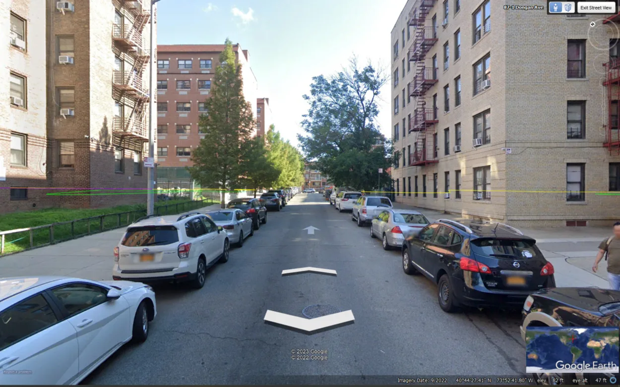
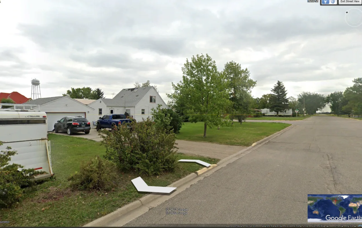
The easiest way to find how old imagery data is, you can zoom into the location, and in the taskbar, you’ll be able to see the date of the provided image.
Keep in mind that the age of the data isn’t always accurate, so if you’re looking for something specific, it’s always best to double-check with another source. Also, the images don’t always have the dates on, and it could be that the image provider didn’t provide any dates.

Is Google Earth Data Accurate?
First, it’s important to understand how Google Earth gathers its data. Google Earth uses a combination of satellite imagery, aerial photography, and topographical data to create its images. This data is then processed and made available to users.
While Google Earth does its best to provide accurate data, some inaccuracies will always exist. This is due to the fact that the data is constantly changing and that it is impossible to capture everything in real time.
Additionally, Google Earth relies on third-party data sources, which can sometimes introduce errors. Overall, Google Earth is a pretty accurate tool.
How do I get Google Earth 20 years ago?
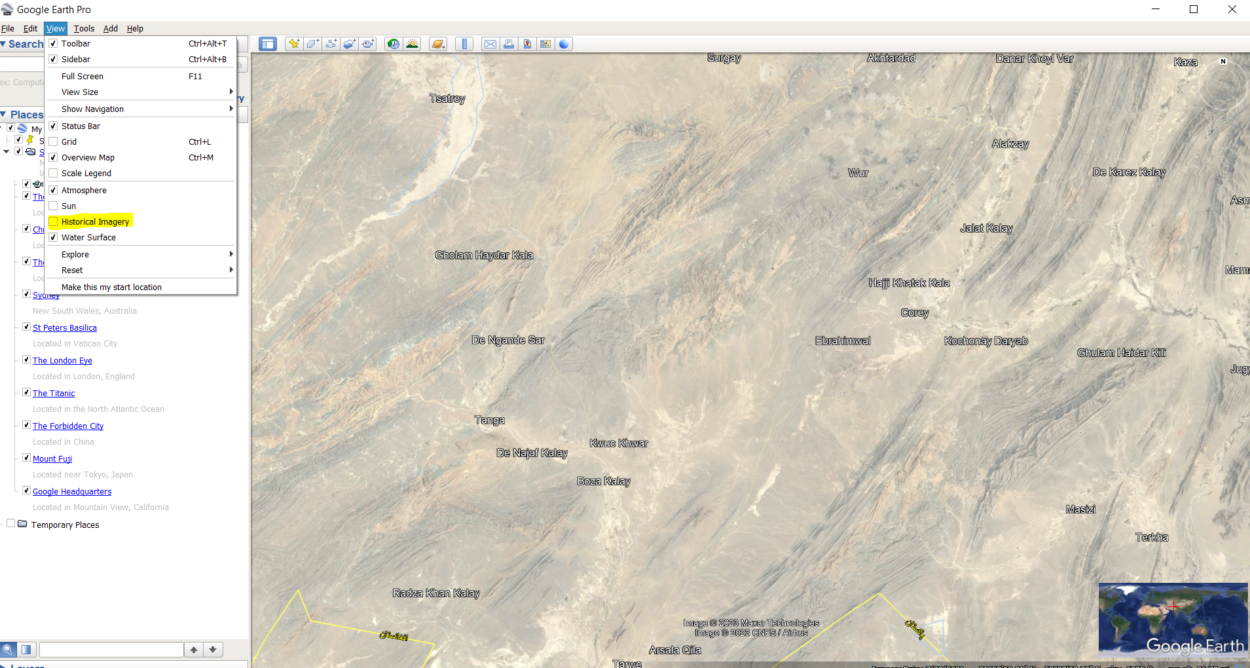
With Google Earth, you can travel back in time to see how the Earth has changed over the years. You can view historical imagery dating back to either 20 years back or the early days of Google Earth, or you can use the time-lapse feature to see how the Earth has changed over a longer period of time.
To view historical imagery, open Google Earth and navigate to the location you want to see. Then, click on the “Historical Imagery” option, which can be found in the menu bar in the view option. This’ll open a slider that you can use to select the date range you want to view.

Can you see Google Earth in Real Time?
Google Earth isn’t available in real-time. So you can’t view how the earth appears at the moment.
Google Earth is a database of satellite photographs that shows pictures of the Earth that were captured on various dates. While live imagery of the Earth may be seen from several satellites, it can’t be viewed on Google Earth.
What can Google Earth tell you?
Google Earth can tell you about the following things:
- It can help scout out the land for business investments.
- Google Earth can help you see what other businesses are in your area.
- It also helps you learn about the history of your neighborhood and look for natural disasters.
- If you want to learn about famous landmarks and space phenomena, you can!
- Through Google Earth, you can also learn about climate change.
However, don’t only rely on the data provided by Google Earth. Do your research from other places as well.
What Features does Google Earth Offer?
Google Earth is a versatile tool that can offer you several features which can be helpful to you in many ways. Some of the key features of Google Earth include:
| 3D globe: | Google Earth allows you to view the Earth in a 3D globe. Wouldn’t it be awesome to see the earth in 3D? |
| Satellite imagery: | It also shows you high-resolution satellite images from around the world that weren’t possible once. |
| Historical imagery: | Are you interested in learning how places have changed over time? If yes, then check out Historical Imagery. |
| Street view: | Google Earth also lets you explore places in street-level detail. Therefore, if you’re planning to change your house and want to see the neighborhood, make sure to use this feature. |
| Places: | With the help of Google Earth, you can find and explore interesting places from the comfort of your own. |
| Directions: | Do you’ve got a difficult time tracking directions? Don’t worry; get directions and travel information from Google Earth. |
| Layer support: | You can view different information overlaid on the map. If you want to view the weather, buildings, and other things – Google Earth will surely come in handy. |
| Sharing: | Google Earth allows you to share places, tours, and other information. |
Moreover, as a beginner, you can learn how to use Google Earth in the video below:
Conclusion
- Google Earth is a data treasure, and you’ll be surprised by how much data Google Earth stores.
- With the help of Google Earth, data can be shown in various ways. Google Earth is a great tool for data visualization because of its clear interface and high-resolution satellite imagery.
- The weather is the data that is updated frequently. Other information, such as satellite and aerial photography, is updated less frequently.
- However, you can generally count on Google Earth’s data to be fairly current compared to other applications.
Related Articles
- Is There an Offline Version of Google Earth? (Must Know)
- How Do I Open Google Earth? (Easy Way)
- How to View Google Earth Live? [Explained!]