![How to Tell When a Google Earth Picture Was Taken? [Informative]](https://gearthhacks.com/wp-content/uploads/2023/02/google_earth-e1676126934503.jpg)
![How to Tell When a Google Earth Picture Was Taken? [Informative]](https://gearthhacks.com/wp-content/uploads/2023/02/google_earth-e1676126934503.jpg.webp)
Google Earth is an amazing tool that allows us to explore the world from the comfort of our own homes. With its vast satellite imagery, you can virtually visit any location on the planet. But do you ever wonder when the photos were taken that you’re viewing?
Knowing when a photo was taken can help you plan trips, track changes in a certain area, or even just satisfy your curiosity. In any case, there are several ways you can tell when a Google Earth image was taken.
Start by looking at the date in the top corner of the image, and then check for any changes in the landscape. You can also compare the image to other images, and use the Historical Imagery feature to see older versions of the same area.
In this blog post, we’ll discuss how to tell when a Google Earth picture was taken. Read on to learn more!
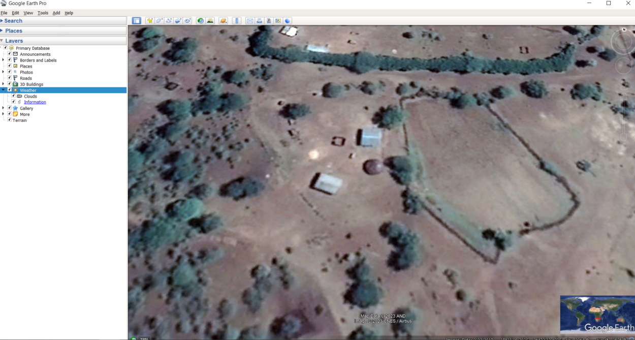
Look at the Date in the Top Corner of the Image
| Step | Description |
| Look at the date in the top corner of the image | One of the easiest ways to tell when a Google Earth picture was taken is to look at the date in the top corner of the image. |
| Check for any changes in the landscape | If you’re looking for an approximate date for a Google Earth image, one way to do it is to look for any changes in the landscape. |
| See if there are any new buildings or structures | When it comes to trying to tell when a Google Earth picture was taken, one of the most effective methods is to look for any new buildings or structures in the image. |
One of the easiest ways to tell when a Google Earth picture was taken is to look at the date in the top corner of the image. This information is provided by Google and is based on the most recent satellite imagery available.
The date will be displayed in the format “MM/DD/YYYY”. For example, if you see a picture that was taken on June 1, 2019, it’ll be labeled “06/01/2019”. By looking at this date, you can determine when the image was taken.
It’s important to note that this information can sometimes be inaccurate or outdated. This is because Google Earth relies on satellite imagery that may be months or even years old. Therefore, it’s important to use other methods to confirm the date of a picture.
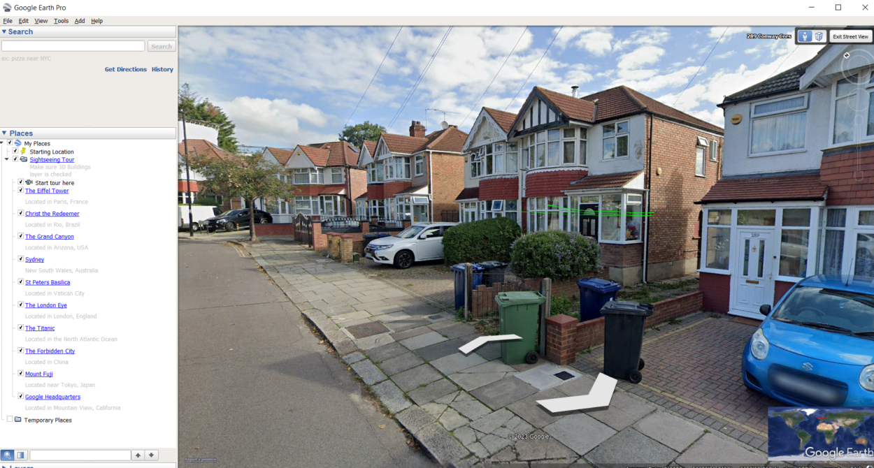
You can check the Street View images in Google Maps to see if they match up with the same location as the Google Earth picture. If they do, then you can assume that the dates are accurate.
Another helpful tip is to look for landmarks such as buildings, roads, parks, etc., that may have changed over time. If you find something in the image that appears new or different from what it would have looked like several years ago, then you can assume that the photo was taken more recently than what’s listed in the date field.
You can also take a closer look at some of the details within an image to help pinpoint when it might have been taken. For instance, shadows from buildings can indicate the direction of sunlight and therefore give an approximate idea of what time of day it was when the photo was taken.
Additionally, the foliage changes over time, so if there are trees or plants visible in an image, they could indicate what season the picture was taken in.
Check for Any Changes in the Landscape

If you’re looking for an approximate date for a Google Earth image, one way to do it is to look for any changes in the landscape. You can easily spot differences like new buildings, roads, or other structures. For example, if you see a brand new highway running through the area that wasn’t there before, chances are it was taken in the past few years.
If you can identify these changes, it’ll give you an idea of how old the image is. It’s also worth noting that Google Earth images aren’t necessarily live, so even if you’ve seen something recently, it may still be a few years old.
Pay attention to details such as shadows and lighting; if they seem different than what you expect in your current location then the photo could be much older than expected.
Additionally, street signs, trees, and seasonal foliage can help you get an idea of when the picture was taken. Street signs change from time to time and certain trees tend to have different leaves during different seasons.
Snow and ice buildup can provide clues about when the image was captured; snow and ice levels fluctuate over time depending on temperature and weather patterns.
Lastly, take note of dates on nearby billboards or business signs; this could help narrow down when the picture was taken. With all this information combined, you should have a better sense of when your Google Earth photo was taken.
See if There Are Any New Buildings or Structures

When it comes to trying to tell when a Google Earth picture was taken, one of the most effective methods is to look for any new buildings or structures in the image. It can be easy to spot any new developments, especially if there are plenty of other buildings and landmarks to compare them against.
If you’re looking at an urban area, it may be easy to notice new skyscrapers or other large buildings that weren’t there before.
Even smaller structures such as homes and other types of buildings are often very visible on Google Earth, so you should be able to tell if anything has been added since the last time you looked at the image.
If you want to take a closer look at any buildings, you can use the magnifying glass feature on Google Earth to zoom in for a better view. This will allow you to get a clearer picture of what has changed and also make it easier to spot any new structures.
By doing this, you should be able to get a more accurate date for the picture you’re looking at.
Compare the Image to Other Images
One way to tell when a Google Earth picture was taken is by comparing it to other images. You can do this by looking at pictures of the same area from different points in time. This will give you an indication of what has changed over time and allow you to determine when the Google Earth picture was taken.
For example, if you’re looking at an image of a city, you can search for older aerial shots of the same area. Look for any differences such as changes in buildings or the addition of new structures. If the Google Earth picture looks significantly different from the older images, then it’s likely that it was taken more recently.
You can also compare the Google Earth image with satellite images taken from other sources such as:
- Landsat
- Worldview
These images provide more detailed information and allow for a more thorough comparison. By comparing two different images, you can get a better idea of how much the landscape has changed over time and pinpoint the date when the Google Earth picture was taken.
Use Historical Imagery

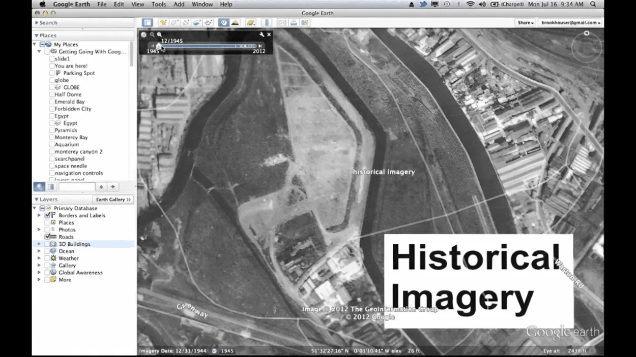
One of the most helpful tools for determining when a Google Earth picture was taken is the use of historical imagery. By accessing historical imagery, you can view older satellite images and compare them to the current image. To access historical imagery:
- Open Google Earth
- Click on the clock icon located in the top-right corner of the screen
- From there, you can select a date range and a geographic area to display the images that were taken during that time frame
By utilizing historical imagery, you can gain insight into what the area looked like in the past and observe any changes that have occurred over time.
For example, if you’re looking at an image from 2017 and comparing it to an image from 2008, you can spot any new buildings or other changes that have been made since then. This is a great way to get an accurate indication of when the image was taken.
FAQs
Is it Possible to Tell When a Google Earth Picture Was Taken?
Yes, it’s possible to tell when a Google Earth picture was taken.
You can look at the date in the top corner of the image, check for any changes in the landscape, see if there are any new buildings or structures, compare the image to other images, and use historical imagery.
What Is the Best Way to Tell When a Google Earth Picture Was Taken?
The best way to tell when a Google Earth picture was taken is to:
- Look at the date in the top corner of the image
- Check for any changes in the landscape
- See if there are any new buildings or structures
- Compare the image to other images
- Use historical imagery
How Accurate Is Google Earth?
Google Earth is usually very accurate. It uses satellite images that are updated regularly to ensure accuracy.
However, some older images may not be as accurate due to changes in technology over time.
Conclusion
- Knowing when a Google Earth picture was taken can be important for a variety of reasons. You may need to look at historical images for research, or you may just be curious about the history of your area.
- There are several ways you can tell when a Google Earth image was taken. Start by looking at the date in the top corner of the image, and then check for any changes in the landscape.
- You can also compare the image to other images, and use the Historical Imagery feature to see older versions of the same area.
- With these tips, you’ll be able to easily figure out when a Google Earth picture was taken. Additionally, if you’re still unsure of the exact date, try using some of the features available on other mapping sites.
- If you ever find yourself using a map from long ago, it’s always best to double-check with sources like newspapers or records from that era. This will ensure that the data is accurate and that the map matches up with what people in that era would have seen.
- Once you’ve found out when an image was taken, you’ll have access to all sorts of interesting historical information!
Related Articles
- Why Is Google Earth so Good? [Truth]
- How Do You Use Historical Imagery on Google Earth Mobile? (Easy)
- How Do I Change The Year On Google Earth On My IPAD? (Find out)