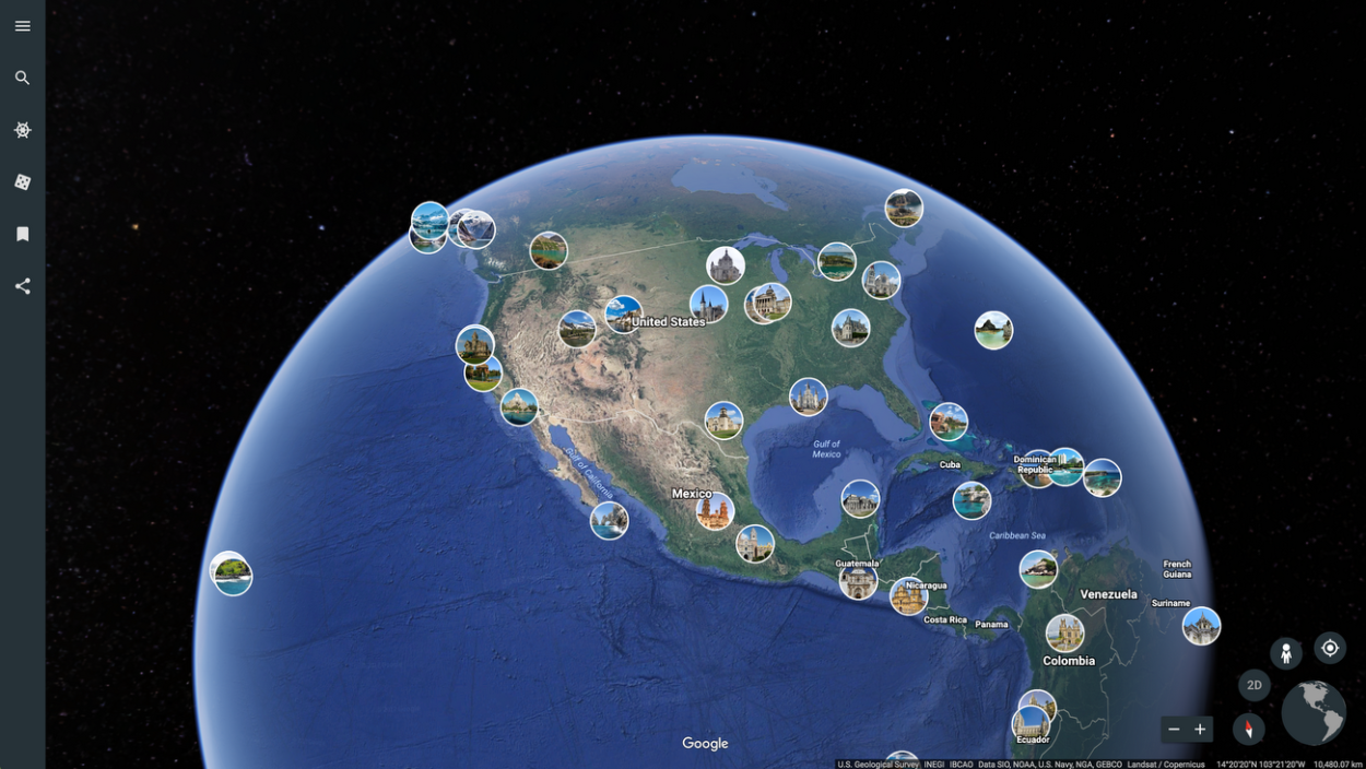


Google Earth is a 3D representation of the world, it retains its imagery data from satellites and aircraft, which are in extreme detail and accuracy. Google Earth is a free program that offers several features to its users, it has developed to provide an immersive and interactive experience.
However, the question at hand is, whether Google Earth is a true GIS or not. Well, Google Earth isn’t a true GIS.
GIS stands for Geographic Information Systems, it’s a tool that renders data scientists the ability to make custom maps and perform geospatial analyses, which can help them make smarter decisions.
However, Google Earth can be used to learn about GIS, it provides many features that allow the user to create and share custom maps. In addition, it includes many other features that can help you learn about the world, so keep on reading to find out.
What Is The Difference Between GIS And Google Earth?
Google Earth and GIS are two different programs and provide different features, however, they may be somewhat similar. While Google Earth shows you the imagery of the world, GIS shows you what’s above and underneath.
Basically, GIS is more of a technical software, whereas Google Earth is an interactive software that can be used for several purposes. In addition, Google earth is primarily used for locating places on the surface of the earth, and GIS, on the other hand, is mostly used to map out locations and undertake different analyses.
GIS software isn’t really fun to use, these programs are only developed for scientific investigations, resource management, and development planning. Whereas, Google Earth provides its users with 3D representation with features that can be used to learn about the world.
What Can Google Earth Do?
Google Earth is developed by Google and launched in 2001, since then it has evolved and has included different features. Google Earth allows its users to not only locate places on the earth’s surface but also explore and interact.
Google Earth is a huge program, it collects data from many sources which includes satellite and aircraft cameras. The imagery on Google Earth has been accumulated throughout the decades since the launch of Google Earth which took place in 2001.
You can view the world in different dimensions, Google Earth uses different sources for its data in order to be accurate, the imagery data comes mostly from satellites and aircraft.
If we talk about the features offered by Google Earth, there’re several different features that can be used for different reasons, for instance, the “Voyager” feature has so many options that will keep you occupied for a couple of days as it has so much that you can learn.
In fact, when you go to the “Voyager” feature, you also see games, which are highly educational and interesting.
Besides that, Google Earth also lets you view imagery that was captured decades ago, all you have to do is go to “Voyager”, click on “Layers” and then select “Timelapse in Google Earth”, there you’ll see a slide, which will have years on it, so you have to slide right and left to travel in time.
Check out this video to know how you can take advantage of the features provided by Google Earth:
Does Google Earth Update Its Data?
Google Earth is free software available on all devices, you can use it for many purposes, however, it’s primarily used to locate places as it provides detailed imagery.
The imagery data is sourced from satellite imagery and aerial photography, both of these sources are for different purposes, for instance, Satellite captures with a wider angle, while aerial photography is captured from a lower altitude.
| Source of Imagery | How Often Updated | Limitations |
| Satellite Imagery | Variable | The resolution can be lower as compared to other sources |
| Aerial Photography | Variable | It may not be available for all locations |
In addition, Google Earth doesn’t update its data as often as one would hope, according to some information, Google Earth updates its data once a month. That said, all of the data are not updated this frequently, some of the data may be one to three years old.
There is a large imagery collection on Google Earth which includes satellite, aerial, 3D, and Street View images. Google has been collecting images for many years and you can see the older imagery collection by going to the “Historical Imagery” feature.
You can check the date an image was taken on by either using the “Historical Imagery” feature or checking the metadata.
- “Historical Imagery” Feature: Right-click on the location, and select ‘Historical Imagery’, which will take you to a page where you’ll have a timeline, there you’ll find all the available images for the specific location you chose. You can slide the timeline to right and left to see the images from different years. As for the date, it’ll be displayed at the bottom of the screen.
- Check Metadata: Right-click on the location and select “Properties”, this will show you all the information about the imagery, which will also contain the date of the image that it was taken on.
How Accurate Is Google Earth?
Google Earth is as accurate as it can get, all the information contained is obtained from several different highly reliable sources, which include satellites, aircraft, and maps.
If we talk about the imagery data, Google Earth consumes this data from satellite and aircraft cameras, the quality of the imagery depends on the location and the source, for instance, satellite imagery is in much better resolution as compared to the imagery obtained from aerial photography.
Satellite Imagery covers a much wider area that can be considered ideal for some large-scale scientific operations. Whereas aerial photography is captured at a lower altitude which makes the imagery much more detailed, it can be useful for commercial applications.
FAQs
What Is View Live Feature In Google Earth?
The “Live View” feature was released in 2005 on Google Earth, however, it isn’t available on all the devices for all the locations. Furthermore, this feature renders users the ability to explore real-time, street-level imagery of locations around the world.
The imagery for “Live View” isn’t really live, this collection is accumulated throughout the years and is updated every month.
Now, “Live View” takes up on a lot of processing power and memory, so if it’s not performing well, you should try closing all the tabs.
Why You Should Use Google Earth?
Google Earth is free software that provides a 3D representation of the world and features that you can use to explore, learn, and interact. This geographic hub can be of great use, it has all kinds of data that includes satellite imagery, aerial photography, 3D imagery, and more.
In addition, Google Earth is extremely easy to use, as soon as you get familiar with the features and tools, you can use it for inquiry-based activities, it gives a great sense of the layout of the locations around the world with the help of its exceptional imagery collection.
Moreover, as Google Earth provides the ability to view the world in three dimensions, it may help people of professions like engineers and artists to get an idea of the location and its surroundings.
Can Civil Engineers Use Google Earth?
Civil engineers can also take advantage of this software as it provides updated and latest information about construction areas with the actual surrounding environment, now this way the engineers can visualize and plan which may just say you a lot of time and money.
Google Earth includes a feature that lets you measure distance and area, so engineers can take advantage of it by measuring perimeters and the area of a certain location.
Should Students Use Google Earth?
Students can use Google Earth to cover topics from geoscience or other educational settings that have geographic content.
Besides that, Google Earth also provides its users to create their own data, which can be saved in KMZ format, or it can be saved in image format that could be employed in presentations or reports.
In addition, Google Earth has been quite useful for geologists, as it’s a Geographic Information System, so it can provide the detailed and accurate maps and layouts that you are looking for.
Conclusion
- Google Earth isn’t a true GIS, but it certainly contains a lot of information about the geography of the world.
- Many geologists prefer Google Earth because of its features like 3D view, these features can help them get a better sense of the layout of locations around the world.
- You can use Google Earth for many reasons, it can help you with your learning material and work-related things.
- Google Earth collects its data from different sources, and the imagery data is updated every month, so you’ll be getting the most detailed and accurate data.
Other Articles
- How Do I Change the Year on Google Earth iPhone App? [Revealed]
- How Do You Go Back in Time on Google Earth Mobile? [Step-by-Step Guide]
- How Do You Change the Time in Google Earth 2023? [Answered]