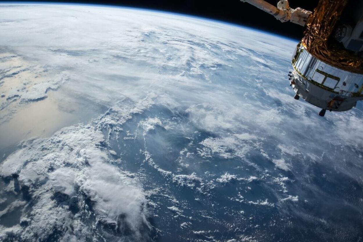

Google Earth is a tool that can render 3D imagery of Earth using satellites. The software uses a 3D globe to map the Earth by superimposing satellite photos, aerial photographs, and GIS data.
Using Google Earth, users can find and navigate the world around them. It provides a wealth of information about their surroundings, such as current popular places, monuments, historical landmarks, and even your own house.
Even though Google Earth is free on desktop and mobile devices, if you’re looking for an offline version, you might be disappointed as it doesn’t have an offline version.
Let’s learn a little more about Google Earth and what features you can avail of Google Earth if you don’t have an active internet connection.
Can we use Google Earth Offline?
Google Earth is a potent tool that enables global exploration without stepping out of the house. But
what happens if you want to use Google Earth but aren’t online? Is it possible?
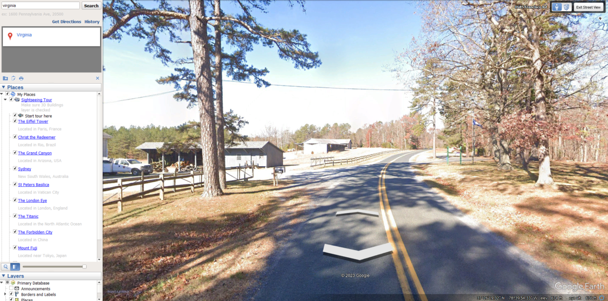
Unfortunately, the answer is no. While you can view cached versions of some of the imagery in Google Earth, you won’t be able to access all of the same features and data you can online.
So if you’re planning on using Google Earth offline, you’ll need to ensure you have a reliable internet connection.
Is Google Earth Live Real-Time?
Google Earth images are made using a combination of satellite imagery, airborne photography, and street-level photography. However, is Google Earth really live?
The answer is no; Google Earth isn’t live in real-time. Google Earth is a digital globe showing high-resolution Earth images from satellites. The images aren’t live and are not updated in real time. However, Google Earth has some live features, such as weather.
Is There a Free Version of Google Earth?
A free version of Google Earth is available for download on the Google Earth website. This version offers basic features like viewing 3D imagery and topographical data.
For more advanced features, such as the ability to measure distance and create custom tours, you’ll need to sign up for a Google Earth Pro subscription.
For availing advanced features, if you want a monthly subscription to Google Earth, then you can check the following subscription plan:
| Individual | Basic | Professional | Premium | |
|---|---|---|---|---|
| Monthly Fee | None | $500 per month | $2000 per month | Contact a Google Sales representative |
| User (developer) allowance | 1 | 2 | 5 | Unlimited |
| Batch EECU credit | No credits included | 100 EECU-hour per month credit included | 500 EECU-hour per month credit included | Contact a Google Sales representative |
| Online EECU credit | No credits included | 10 EECU-hour per month credits included | 50 EECU-hour per month credit included | Contact a Google Sales representative |
| Earth Engine Cloud storage credit | No credits included | 100 GB credit included | 1TB credit included | Contact a Google Sales representative |
| Higher QPS on High-Volume | Not available | Not available | Included | Included |
| SLA | Not available | Not available | Included | Included |
Is There an Updated Version of Google Earth?
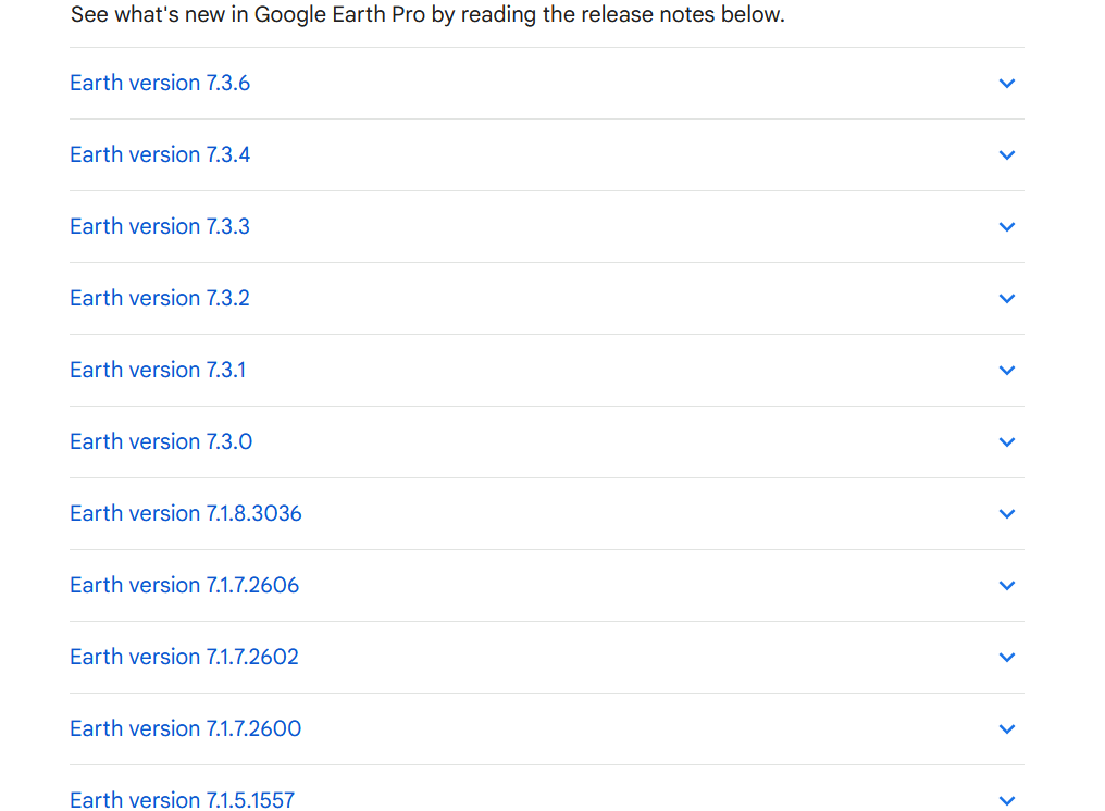
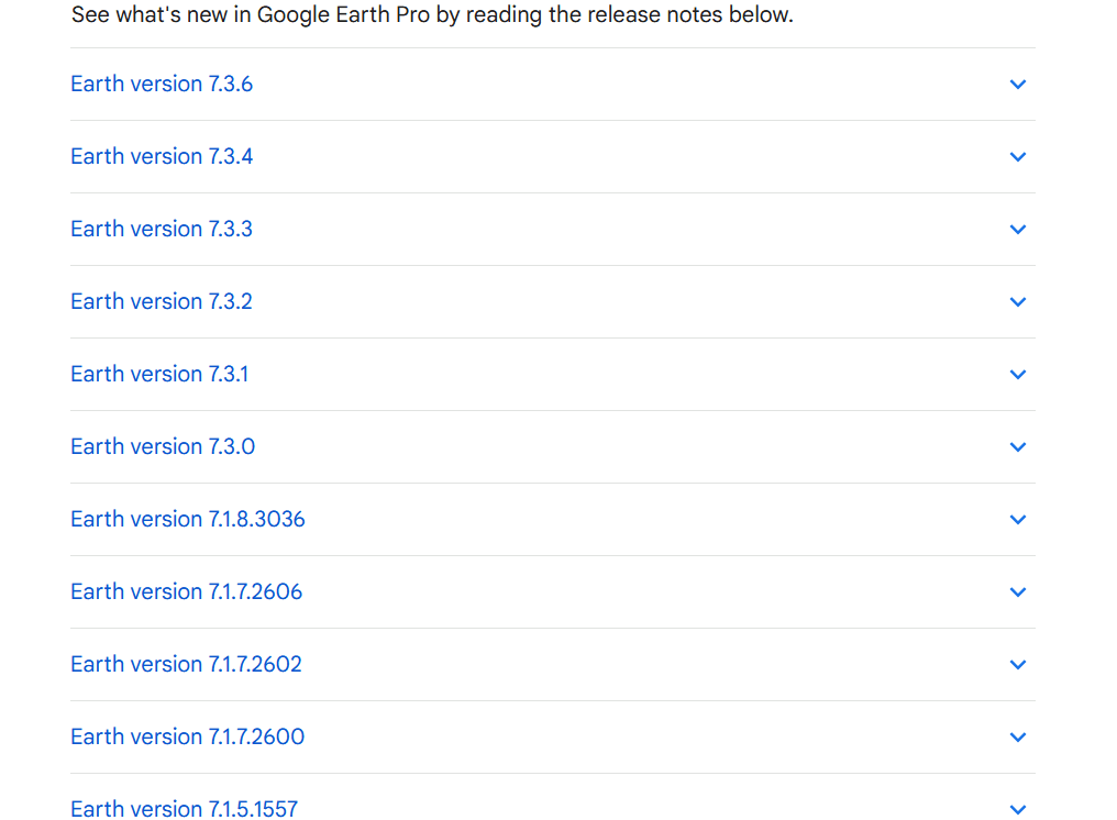
Yes, there’s an updated version of Google Earth!
Google Earth is updated once a week. However, updating doesn’t include monthly updates of images. In fact, the images you see might be months older.
There have been many versions and updates of Google Earth, including Earth version 5.0, Earth version 5.0.1, Earth version 5.1, and many others.
Google Earth version 7.3.6 is now available. Some new features it brings include faster processing speeds, better image quality, and hardware-accelerated video coding. Moreover, street View and Historical Images are accessible in the live recording mode and full navigation options. There’re many other updates in the latest version of Google Earth.
What is the Best Alternative to Google Earth?
Certain alternatives to Google Earth are competitors to it:
Google Earth
Google Maps is a great alternative to Google Earth if you’re looking for a more user-friendly option.
It’s more user-friendly because it’s easier to navigate and find specific locations; almost everyone with just a little knowledge of Google Maps can use it.
On the other hand, users find it difficult to use Google Earth. Google Earth has more complex features, but it can’t be easy to use if you’re unfamiliar.
Esri ArcGIS
Esri ArcGIS is the leading system in GIS (geographic information system) technology. This software is used by governments, businesses, and individuals all over the globe to map and analyze data.
Esri’s ArcGIS software is the most popular GIS software on the market and for a good reason. It’s user friendly, powerful, and adaptable to a wide range of needs.
Maptitude
Maptitude is a great tool for small businesses. It allows you to make custom maps, track sales territories, and manage multiple locations. You can also use Maptitude to find new customers and target your marketing. It helps make location judgments easier with the aid of the robust mapping program.
With Maptitude, you can analyze and visualize how geography or location can impact your organization. It’s the most affordable and capable mapping software available. It lets you create maps and images from spreadsheets.
You can easily identify the ideal sites for your company using Maptitude, study consumer behavior, and forecast industry trends.
Maptitude can be useful whether you’re a small company owner seeking a new site or a major enterprise attempting to comprehend consumer behavior. No matter what level you are operating your business, Maptitude is a great tool.
AutoCAD Map 3D
AutoCAD Map 3D is a powerful mapping software that allows you to create, edit quickly, and share maps. The software is easy to use and has various features that make it a great tool for personal and professional use.
Businesses can use AutoCAD Map 3D to create models from data collected from various sources, such as CAD and GIS. This intuitive tool can help them analyze and visualize their geographic information. It can take hundreds of data points and automatically extract and display certain features.
If you’re looking for mapping software that can help you get the job done, AutoCAD Map 3D is a great option.
Global Mapper
If you’re looking for a quick and easy way to view and analyze geo data, then you need Global Mapper. Global Mapper is a powerful, easy-to-use GIS data processing tool that can view, convert, edit, and even print geo data. And best of all, it’s free!
So if you’re in the market for a quick and easy way to handle all your geo data needs, then Global Mapper is the tool for you.
Is Google Maps and Google Earth the Same?
No, Google Maps and Google Earth aren’t the same.
Google Earth and Google Maps are two popular mapping tools from the tech giant Google. Both tools offer a wide range of features, such as street view, satellite view, and traffic information. But what’re the key differences between these two popular mapping tools?
For starters, Google Earth is a much more immersive experience. It offers a 3D view of the globe that you can explore and a street view option.
Google Maps, on the other hand, has a default 2D mapping experience. However, you can change the default settings of 2D to 3D view in Google maps.
Another key difference is that Google Earth is more geared toward exploration, while Google Maps is more toward navigation. With Google Earth, you can explore the globe and learn about different landmarks and geographical features.
If you want to use Google Earth and don’t know the complex features of Google Earth, you can check the video below!
Final Thoughts
- With Google Earth, you can easily navigate around the world and find out information about every place on the planet. It has many features that help you navigate different countries and continents.
- However, Google Earth has its limitations too. For example, Google Earth doesn’t have an offline version.
- This means that you require an active internet connection to use Google Earth. However, other mapping programs have offline versions.
- So if you need to use Google Earth offline, you may want to consider one of those options.
Related Articles
- Is Google Earth Free? [Revealed!]
- Can You Use Google Earth Without Downloading It? [Find Out]
- How to View Google Earth Live? [Explained!]
Click here to view the Visual Story Version of this Article.