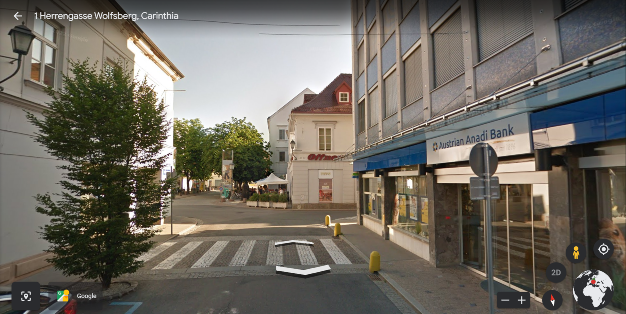

Google Earth is one of the most unique and useful inventions, created by Google in 2001. Google Earth not only provides its users with an immersive experience, but it can also be highly interactive and can be used for many purposes like education.
While it’s hard to beat Google Earth, Zoom Earth has come close. Zoom Earth is considered the most reliable alternative to Google Earth, it’s a web-based software. In addition, Zoom Earth may not use services provided by Google for data mapping, but it still offers incredible imagery of the Earth.
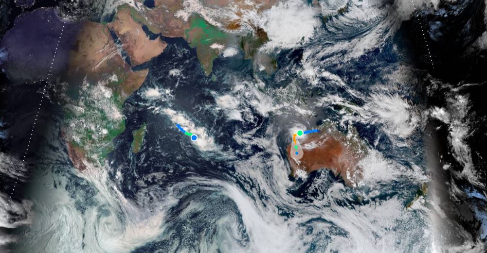
Zoom Earth is rather similar to Google Earth, it also shows real-time information about things like weather, storms, and more. Besides that, Zoom Earth is known to have high-resolution aerial imagery of places on a zoomable map.
Furthermore, while Zoom Earth may have better imagery than Google Earth I found it to be slow, which made it annoying to use. However, just like Google Earth, Zoom Earth lets you view the history of imagery of some places.
Both of the software have their pros and cons, nevertheless, I would still say Google Earth beats Zoom Earth in many aspects, keep on reading to find out if there is a site that can beat Google Earth or not.
Is There A Better Site Than Google Earth?


Google Earth is an excellent site, it has innumerable features that can help in many aspects, however, there’re several other sites that may be providing similar features, maybe even better.
The sites that are considered great alternatives to Google Earth, include Esri ArcGIS, QGIS, Maptitude, and AutoCAD Map 3D.
While, Esri ArcGIS connects maps, apps, data, and people so that users can make smarter, faster decisions and also offers businesses the ability to create, discover, and share maps anywhere and at any time.
QGIS, on the other hand, is an open-source GIS tool, which is offering its users the capabilities and tools to help in visualization, management, editing, analyzing data, and composing printable maps.
Maptitude Geographic Information System (GIS) provides the tools, maps, and demographic data that you require to analyze and comprehend how geography can affect you and your business. Whereas, AutoCAD Map 3D grants its user access to GIS and mapping data in order to support the planning, design, and management of the data.
Every one of the software is great and provides features that are also offered by Google Earth, but the difference is that Google Earth is free and is far more developed.
Google Earth has many developed and amazing features that allow the user to learn and take advantage of them to create and make better decisions.
for instance, the “Voyager” feature offers guided tours, quizzes, and layers that may help you to learn things about the world. Whereas, the “Measure Distance and Area” feature can come in handy when planning a trip or creating a map for a project.
What Is The Best Earth Map App?

As I said, there’s much software that can provide you with a map of the Earth, however, is that all you need? I personally think software that is interactive, educational, and can be useful is the right software that you be using.
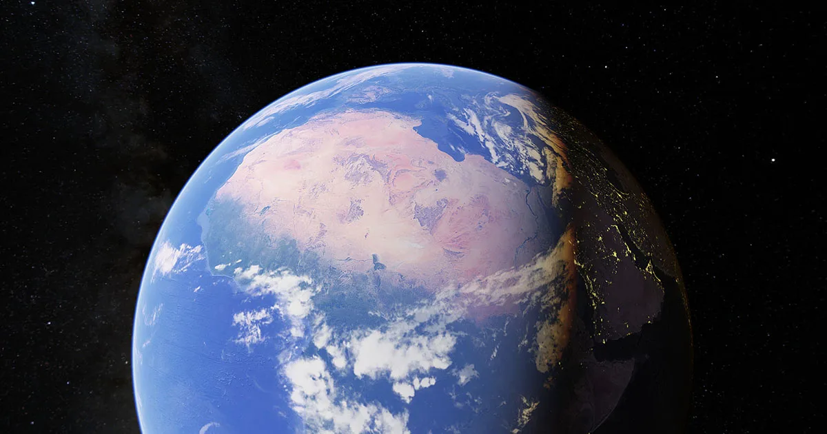
Google Earth is by far the best software to use, it uses so many sources for the data, including satellite imagery, aerial photography, and more.
However, the prime source has always been satellite imagery, but aerial imagery is also a huge part of Google Earth. Both of these sources provide different imagery, for example, Satellite Imagery is at a wider angle which can be ideal for large-scale scientific operations, Aerial photography is taken from a lower altitude which makes its imagery quite detailed, which makes it useful for commercial applications.
There’re several other differences between Satellite Imagery and Aerial Imagery that you can check out in the table below:
| Aerial Imagery | Satellite Imagery | |
| Captured By | Camera systems affixed with airborne craft that includes planes and drones | Electronic scanners attached to satellites |
| Types | Vertical, High, and Low Oblique | Visible, Infrared, and Water Vapor |
| Suitable For | Commercial applications for several different industries, which can range from construction and real estate to insurance and urban planning | Large-scale scientific operations |
| Advantages | Greater detail and far more accuracy | Covers a wider area |
Is Zoom Earth Accurate?
Zoom Earth provides real-time satellite data and high-resolution archival data, which is quite similar to Google Earth. In addition, Zoom Earth updates its data every 10-15 minutes, which means it shows the most recent satellite and aerial imagery on a zoomable map.
Zoom Earth is a great site, you can access it from any device with a screen, however, I don’t see many features that you can take advantage of.
Nevertheless, you can use Zoom Earth to get information about the weather or use it for some small-scale projects as it’s known to have the best aerial imagery.
Check out this video to see some differences between Zoom Earth and Google Earth:
FAQs
Is Zoom Earth Any Good?
Zoom Earth is a mediocre site-based program that renders its users the best and most accurate aerial imagery. It doesn’t get its data from Google, and still, it manages to keep its data accurate.
I wouldn’t say that Zoom Earth is better than Google Earth, but it certainly can be used for several purposes. Nevertheless, Zoom Earth doesn’t provide as many features as Google Earth does.
Furthermore, Zoom Earth is rather slow, it takes time to clear the imagery when you zoom in, other than that, it’s a fairly good program.
Is Google Earth Up-To-Date?
Google Earth is one of the most known software that obtains its data from many reliable sources, however, it may not be updating its data every minute, and you may see some old imagery of certain places.
Google Earth uses satellite imagery and aerial photography for different aspects, for example, you might see some of the imagery in high resolution and detail, while others may be low in quality.
The quality of imagery basically depends on the location and the source, if you want to see when an image was captured, you can use the “Historical Imagery” feature.
Is Google Earth Any Good?
Google Earth is a great software that allows its users to have an immersive and interactive experience, it has included so many features that you can use to learn and make better decisions.
Those features can be used for educational purposes as well as to create and be innovative. The feature “Voyager” is quite interesting as it provides quizzes and guided tours of places, which can be a great way to learn about the world.
While the feature “Historical Imagery” allows you to view past versions of the world, you can go back in time and see a 40-year-old world.
In addition, the “Measure Distance and Area” feature allows you to measure and map out a plan, you can use this feature to plan a trip or to measure the distance between two points.
The Final Say
- Zoom Earth is a mediocre site-based software, while Google Earth is available on all devices and browsers.
- Zoom Earth collects its data from different sources that don’t include Google unlike Google Earth, however, Zoom Earth still is accurate and updates its data every 10-15 minutes.
- Google Earth is an incredible program, but Zoom Earth exceeded it in the quality of aerial imagery.
- Besides Zoom Earth, there’re several alternatives to Google Earth which include Esri ArcGIS, QGIS, Maptitude, and AutoCAD Map 3D.
- All the alternatives to Google Earth have something different to offer, but none of them came close to the features offered by Google Earth.
- Google Earth isn’t only useful for creating maps, it can also be used for educational purposes, which is what sets Google Earth apart from other software.
Other Articles
- How Do You Get a Live View on Google Earth? [Step-by-Step Guide]
- Can You Tell When a Google Earth Picture Was Taken? [Find Out]
- How Often Does Google Earth Update its Street View? (Truth)