
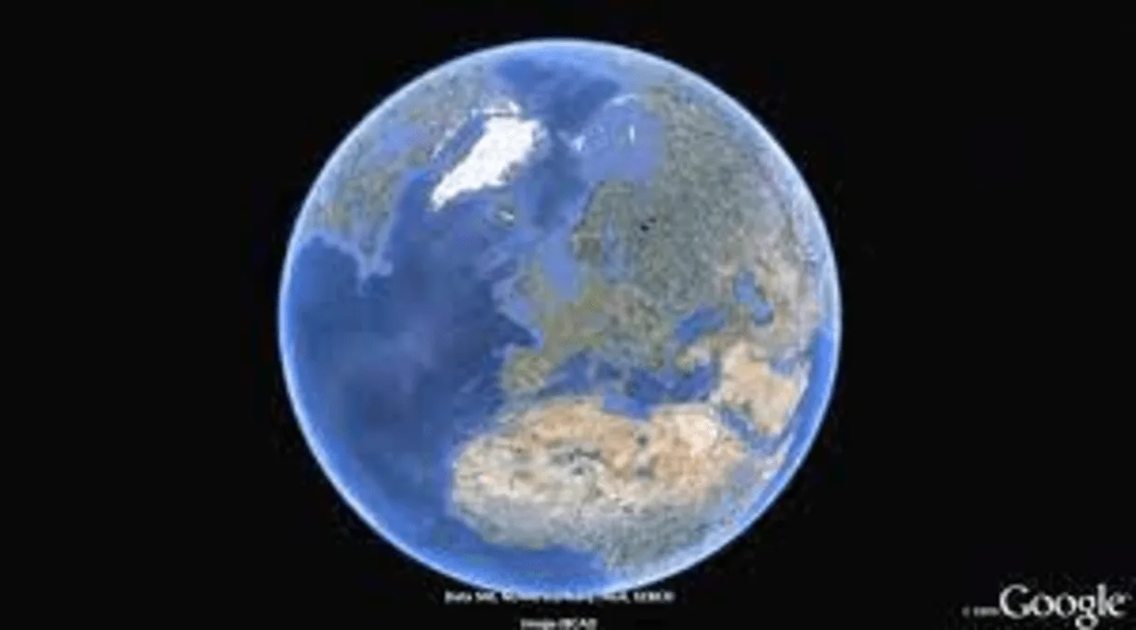
If you want to explore the world without going anywhere, Google Earth is an impressive tool that can help you do that. With access to high-resolution satellite imagery, 3D terrain data, and a vast library of geographic information, this platform provides an immersive experience that is both educational and entertaining.
Familiarizing yourself with the platform’s various controls is essential to maximize your Google Earth experience.
In this article, we’ll take a closer look at the key controls available within Google Earth, including how to search for specific locations, adjust the viewing angle, switch between 2D and 3D modes, and measure distances between different points on the map.
What are the Controls for Google Earth?
One of the most useful controls in Google Earth is the search function. It allows users to look up specific locations, addresses, and landmarks on the map, making it easy to find what you’re looking for.
The navigation controls are equally essential, providing users with a range of tools, including pan, tilt, zoom, and rotate, to easily move around the map.
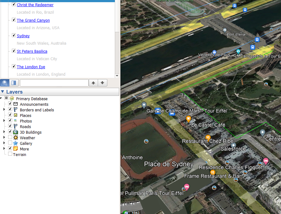
Google Earth also offers access to a vast library of geographic information, which can be displayed on the map through layers. Users can toggle layers on and off to view different types of information, such as roads, buildings, and natural features, providing a comprehensive understanding of the world around us.
For those looking for a more immersive experience, Google Earth offers a 3D view, allowing users to explore the world in three dimensions. They can switch between 2D and 3D modes and adjust the viewing angle to see the world from various perspectives.
Another useful control in Google Earth is the measure tool. It allows users to measure distances and areas on the map, making it a valuable tool for planning routes or understanding the scale of geographic features.
In summary, the controls available in Google Earth provide users with a complete toolset for exploring the world in great detail.
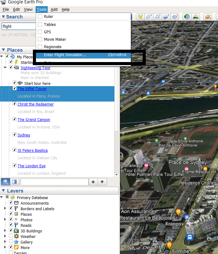
What are the Controls for Google Earth Flight Simulator?
As you might already know Google Earth also has a flight simulator that you can try to get a new experience virtually!
In case you’re about to try Google Earth Flight Simulator, here are the controls for the stimulator:
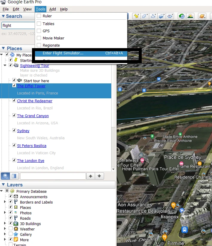
| 1. | Users can access the flight simulator by launching Google Earth and selecting the “Tools” tab from the menu bar, then choosing “Enter Flight Simulator.” or pressing the shortcut keys “Ctrl+Alt+A.” |
| 2. | Upon launching the simulator, users have the option to choose between two aircraft types – an F-16 fighter jet or an SR22 four-seater aircraft. This allows users to select their preferred aircraft and experience different flying styles and capabilities. |
| 3. | Users can select their starting position by choosing a location on the map or entering GPS coordinates. |
| 4. | In some flight simulator programs, the “Page Up” key is used to simulate the process of taking off an aircraft. By holding down the “Page Up” key, you can gradually increase the aircraft’s thrust until it reaches a high enough speed to lift off the runway. |
| 5. | The flight controls include the arrow keys to control pitch and bank and the “+” and “-” keys to adjust the throttle. |
| 6. | Users can land the aircraft by carefully aligning it with the runway and reducing the throttle to slow down. |
| 7. | When using a flight simulator, pressing the “ESC” key can often be a quick and easy way to exit the program. However, there’re a few additional details to keep in mind. |
What are Keyboard Shortcuts to Navigate in Google Earth?
Following are some keyboard shortcuts to navigate Google Earth:
- Zoom In: Use the “+” key to zoom in on the map.
- Zoom Out: Use the “-“ key to zoom out on the map.
- Tilt View: Hold down the “Shift” key and use the up and down arrow keys to tilt the view up or down.
- Rotate View: Hold down the “Shift” key and use the left and right arrow keys to rotate the view.
- Move North: Press the “N” key to move the view northward.
- Move South: Press the “S” key to move the view southward.
- Move East: Press the “E” key to move the view eastward.
- Move West: Press the “W” key to move the view westward.
- Reset View: Press the “R” key to reset the view to its default position.
What are the Functions of Google Earth?
The following are some functions of Google Earth:
Earth Exploration: Google Earth allows users to explore 3D terrain data from different angles, providing a more immersive and realistic experience. Users can see mountains, valleys, and other natural features in incredible detail. Google Earth provides high-quality satellite imagery that offers a bird’s eye view of the world in great detail. Users can explore different regions and landmarks from above with ease.
Navigation: Google Earth provides various navigation tools that allow users to pan, tilt, zoom, and rotate the map to view it from different perspectives.
Collaboration: Google Earth offers collaboration tools that allow users to share their maps and work with others in real time. This can be helpful for group projects, team coordination, or simply sharing information with friends and family.
Moreover, you can check out some advanced features of Google Earth in the video below:
What is the Best Way to use Google Earth?
- Plan Your Next Adventure: Use Google Earth to research travel destinations. You can view 3D terrain data, high-resolution satellite imagery, and points of interest to help you decide where to go.
- Plan Outdoor Activities: If you’re an outdoor enthusiast, Google Earth is a fantastic tool for planning your next hike or outdoor adventure. You can use topographical maps, distance-measuring tools, and customizable routes to create an adventure that suits your interests.
- Explore Natural Wonders: With Google Earth, you can explore natural wonders around the world in incredible 3D detail. Check out mountains, canyons, waterfalls, and other geological features to learn more about them.
- Discover Historical Sites: Google Earth provides access to historical imagery, allowing you to explore ancient ruins, historical landmarks, and other sites of cultural significance. You can even see how a location has changed and gain a deeper understanding of its history.
- Monitor Environmental Changes: Google Earth can also track environmental changes such as deforestation, glacier melting, and urban development. Using historical imagery, you can see how these changes have occurred and learn more about their environmental impact.
FAQS
What are the benefits of Google Earth?
Google Earth is an incredibly powerful tool that provides a multitude of benefits. With its search function, navigation controls, and layers, users can easily explore the world and better understand the planet we inhabit.
The 3D view and measure tool provides even more immersive experiences, allowing users to see the world from different perspectives and understand its scale.
How accurate is Google Earth?
Google Earth is highly accurate, with satellite and aerial technology capturing much of the imagery. However, the level of accuracy can vary depending on the location and the time of the imagery.
Additionally, certain areas may have intentionally blurred or outdated imagery due to security concerns or privacy laws. Overall, Google Earth is a reliable tool for exploring the world, but it’s essential to be aware of potential inaccuracies.
What are the uses of Google Earth for students?
Google Earth can be an incredibly useful tool for students. It allows them to explore the world from their classroom or home, providing a virtual window to different parts of the globe.
They can learn about geography, history, and cultures by visiting various landmarks and historical sites, and the measure tool can aid in understanding scale and distance.
Conclusion:
- Google Earth is a powerful tool for exploring the world in great detail. Google Earth offers search, navigation, layers, 3D view, and measurement tools, allowing users to explore and understand the world in detail.
- To use Google Earth effectively, users can plan their trips, and outdoor activities, explore natural wonders, discover historical sites, and monitor environmental changes.
- The controls available in Google Earth provide users with a complete toolset for exploring the world in great detail, including search functions, navigation controls, layers, a 3D view, and a measurement tool.
- With Google Earth, users can gain a deeper understanding of the world around them and explore it more effectively.
Related Articles
- Is Google Earth Free? [Revealed!]
- Can I See My House on Google Earth? (Find Out!)
- What Is so Great About Google Earth? [Revealed]