
Google Earth is a great tool used by millions of people around the world. It has several cool features that make Google Earth one of the most used maps.
While Google Earth can be a cool tool to just play around with, it can be so much more than that. In fact, many professionals use it for different purposes.
Google Earth can be used for various purposes such as educational research, exploration, navigation, recreation, and more. With its ever-expanding database of satellite imagery and geographical data, Google Earth gives us a comprehensive view of our planet and helps us to better understand our environment.
In this write-up, we’ll learn about the potential benefits of Google Earth, the scope of Google Earth, and how it can be useful for different businesses. If you wish to know all of this, we recommend you read the article and find your answers. So without any further ado, let’s get started!
What can you do with Google Earth?
You can use Google Earth for everything from exploring new places to planning your next vacation. You can even use it for research or to check out potential real estate investments.
Whether you’re using it for business Google Earth is a decisive tool that can help you see the world in a new way.
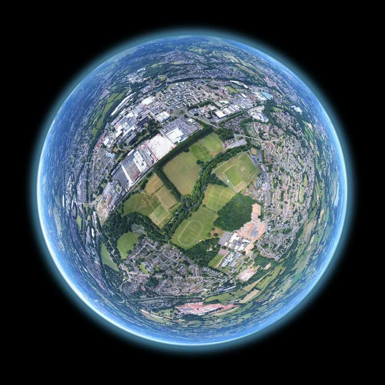
Exploring the Globe
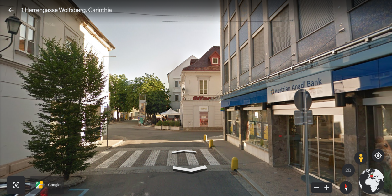
You can use Google Earth to explore the globe in a variety of ways. You can use it to view satellite imagery, topographic maps, and even 3D buildings. You can also use it to measure distance, create custom routes, and even plan your next vacation.
So what’re you waiting for? Download Google Earth today and start exploring the world!
Planning Trips
Google Earth can be used for many different purposes, including trip planning. With Google Earth, you can easily view satellite imagery of any location on the planet. This can be very helpful when you’re planning a trip, as you can get a better idea of what the area looks like before you even arrive.
You can also use Google Earth to find specific points of interest, such as hotels, restaurants, and attractions. This can be very helpful in deciding what to do and seeing while you’re on your trip. Additionally, Google Earth can be used to find the best route to your destination. This can be very helpful if you’re unsure of the best way to get there.
Learning about New Places
With its high-resolution satellite imagery, you can get a detailed view of new places and learn about them. You can also use Google Earth to view hotels, restaurants, and other attractions which you didn’t know existed.
Google Earth is a free program, and it’s available on both desktop and mobile devices. So if you want to learn about new things, you can keep exploring the places and learn as much as you can.
Mapping out Locations
Google Earth can be a helpful tool for mapping out locations for a variety of purposes. For example, it can be used to plan a hiking or camping trip, view a potential construction site, or measure the distance between two points.
Additionally, Google Earth can be used to view historical images of a location, which can be helpful for research purposes.
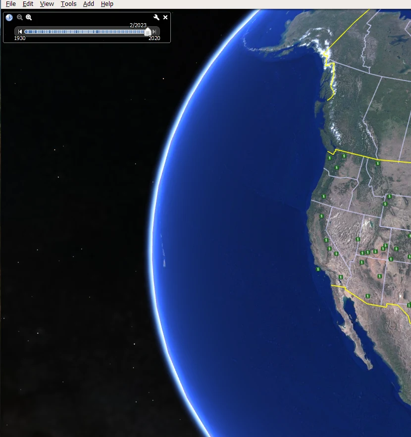
Tracking Changes over Time
One of Google Earth’s most useful applications is tracking changes over time. With Google Earth, you can see how an area has changed over the years, whether it’s due to natural causes or human activity, by historical imagery.
This can be particularly useful for environmental purposes, as you can track the progress of deforestation or the spread of an oil spill. Google Earth can also be used to track urban development, as you can see how a city has expanded over time.
If you’re interested in tracking changes over time, Google Earth is a great tool to use. With its easy-to-use interface and comprehensive data, you can clearly see how an area has changed over the years.

Educational Purpose
Google Earth can be used to study the physical features of the Earth’s surface. This can be done by looking at the various landforms, bodies of water, and other features that are shown on the map.
It can also be used to study the human features of the Earth’s surface. This can be done by looking at the various cities, towns, and other settlements that are shown on the map.
Moreover, Google Earth can be used to study the Earth’s climate. This can be done by looking at the various temperatures, precipitation levels, and other data that are shown on the map
What are the Three Advantages of Google Earth?
There are several advantages of using Google Earth. The following are three main advantages of using Google Earth:
- You can use Google Earth to analyze data sets such as census and climate data.
- You can use Google Earth to create educational materials or simply learn about different places.
- With Google Earth, you can get a bird’s eye view of any global location and explore it in detail. You can also use Google Earth to measure distances, create custom maps, and even plan your road trip route.
Why is Google Earth a Useful Tool?
Google Earth is a useful tool for a variety of reasons. First, it allows users to see the world from a bird’s eye perspective. This can be helpful for orienting oneself in a new place or getting a sense of the lay of the land.
Additionally, Google Earth provides detailed information about specific locations. Users can learn about a place’s history, culture, and natural features by reading the information provided.
Finally, Google Earth is simply fun to explore. Users can fly worldwide and explore different places without ever leaving their homes.
How can Businesses use Google Earth?
Google Earth is a useful tool that businesses can use in several ways. It can be used for things like marketing, data collection, and even employee training.
Here’re a few examples of how businesses can use Google Earth:
| Creating marketing materials: | Google Earth can be used to create stunning visuals that can be used in marketing campaigns. |
| Collecting data: | Google Earth can be used to collect data about a specific location. This data can be used for things like market research or to plan a new business. Businesses can use Google Earth to create virtual tours, capture customer feedback, and monitor employees. |
| Training employees: | Google Earth can create training simulations for employees. This is especially useful for businesses that have employees who work in remote locations. |
There’re many other potential uses for Google Earth in business. The sky is the limit for how businesses can use this powerful tool. Therefore, if you’re looking for a way to give your business a competitive edge, consider using Google Earth.
What is the Difference between Google Maps and Google Earth?
Google Maps and Google Earth are two separate mapping systems with unique features. Despite the fact that both services employ the same technology, their use cases and amount of information vary.
While Google Maps offers a 2D perspective of the world with more conventional map features, Google Earth is primarily focused on offering a 3D image of the world.
Aerial photography, street maps, satellite photos, 3D topography, and more are all available on Google Earth. Additionally, it enables users to examine current weather conditions, receive directions to specific destinations, and explore landmarks in 3D.
Google Maps, on the other hand, concentrates on offering comprehensive details about roads, traffic conditions, available public transit alternatives, restaurants, and other areas of interest.
If you want to learn more about this difference, you can check the video below!
Final Thoughts
- Google Earth is one of the most popular maps because of its many amazing features, and millions and billions of people use it.
- Google Earth provides us with a complete perspective of our world and aids in our understanding of our surroundings because of its constantly growing library of satellite photos and geographic information.
- It may be used for various things, including exploration, businesses, research for education, navigation, leisure, and more.
- Moreover, Google Earth may be used to make teaching resources or just to learn about other areas. Another use of Google Earth can be to evaluate data sets like census and climatic data.
Other Articles
- Is Zoom Earth Better Than Google Earth?[Comparison]
- How Old Are the Images on Google Earth?[Revealed]
- How Often Is Google Earth Data Updated?[Must Know]