Without any doubt, Google Earth is a fantastic tool for increasing your knowledge about Earth’s different locations. However, like every other application, there’re some weaknesses to Google Earth as well. But don’t worry; the Internet is full of helpful websites that can help you explore the earth in different and fun manners.
Moreover, some people may seek alternatives to Google Earth due to privacy concerns or a desire for specific features. Fortunately, there’re several alternatives available that offer similar functionality to Google Earth.
Some alternatives are NASA WorldWind, OpenStreetMap, Bing Maps, Esri ArcGIS Earth, etc. These options available, users can find an alternative to Google Earth that meets their specific needs and preferences.
In this article, you can learn about useful alternatives to Google Earth, which can be useful for you in different ways.
The Best Alternative to Google Earth
Esri ArcGIS
Esri ArcGIS Earth is a desktop application that provides a robust alternative to Google Earth. It offers advanced tools and features for exploring the Earth’s surface in 3D and analyzing geographic data. Here are some of its strengths and weaknesses:
Strengths:
- ArcGIS Earth provides advanced analysis tools that allow users to measure distances, create cross-sections, and generate fly-through animations, making it ideal for GIS professionals, scientists, and educators who need to analyze geographic data.
- The software allows for integrating external data sources, such as weather and traffic information, providing additional context for analysis.
- ArcGIS Earth provides access to Esri’s ArcGIS Online platform, which includes a vast collection of maps, imagery, and data from around the world.
Weaknesses:
- ArcGIS Earth can be complex and overwhelming for new users, and the software requires some technical knowledge to use effectively.
- The free version of ArcGIS Earth is limited in functionality compared to the paid version, which may not suit all users’ needs.
- ArcGIS Earth requires a robust computer system to run effectively, which may limit its accessibility for some users.
Moreover, you can check out the video below to learn more about ArcGIS:
QGIS
QGIS (Quantum GIS) is a free, open-source desktop application that provides a powerful alternative to Google Earth for visualizing and analyzing geographic data.
Strengths:
- QGIS is a free, open-source application that is accessible to anyone, making it an ideal option for small businesses and individuals with limited budgets.
- QGIS offers a broad range of functionality for visualizing, managing, and analyzing geographic data, including support for numerous file formats, advanced labeling and annotation tools, and robust cartographic capabilities.
- QGIS has a large and active community of users and developers who create plugins and provide support, making finding solutions to common problems easy.
Weaknesses:
- QGIS can be complex and challenging for new users, especially those without a background in GIS or spatial data analysis.
- While the community provides support, it may not be as extensive or comprehensive as the support offered by commercial software vendors.
- QGIS requires a robust computer system to run effectively, especially with large or complex datasets.
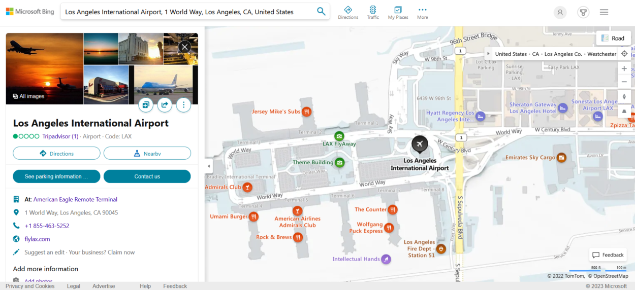
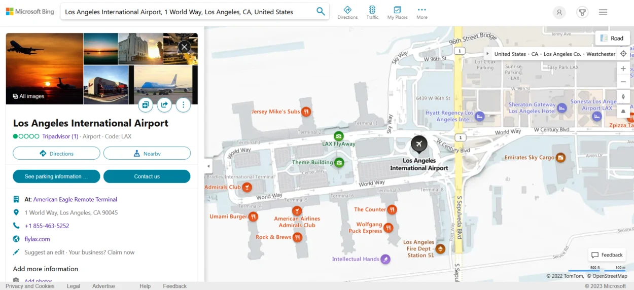
Bing Maps
Bing Maps is a web-based mapping service developed by Microsoft that provides an alternative to Google Earth. Here are some of its strengths and weaknesses:
Strengths:
- Bing Maps offers a range of features, including driving directions, traffic data, and satellite imagery, making it a versatile tool for various use cases.
- Bing Maps is integrated with Microsoft’s suite of products, including Office and Windows, making it easy for users who are already familiar with Microsoft’s ecosystem.
- Bing Maps offers 3D maps and street-side views, providing a unique perspective of the Earth’s surface that can be particularly useful for businesses and real estate professionals.
Weaknesses:
- Bing Maps has limited coverage in some areas, particularly in remote or rural regions, which can limit its usefulness for certain applications.
- While Bing Maps offers a range of features, it cannot be easy to customize maps to suit specific needs or use cases, particularly compared to other mapping software.
- Bing Maps may not have the same level of support or resources available as other mapping software, which can be challenging for users who need assistance or troubleshooting.
Global Mapper
Global Mapper is a comprehensive GIS software that provides an alternative to Google Earth. Check out some of its strengths and weaknesses:
Strengths:
- Global Mapper provides a range of GIS functionalities, such as terrain analysis, 3D modeling, and geospatial data management, making it a powerful tool for various applications.
- Global Mapper supports over 300 spatial data formats, allowing users to access various data sources and seamlessly integrate with other software tools.
- Global Mapper offers various customization options for maps and data visualization, giving users greater flexibility to tailor the software to their needs.
Weaknesses:
- Global Mapper can have a steep learning curve, particularly for novice users, due to its comprehensive GIS capabilities and complex interface.
- Global Mapper is commercial software, which can be expensive for some users compared to free or open-source alternatives.
- The Global Mapper user community is relatively small compared to other GIS software, making finding resources or support challenging.
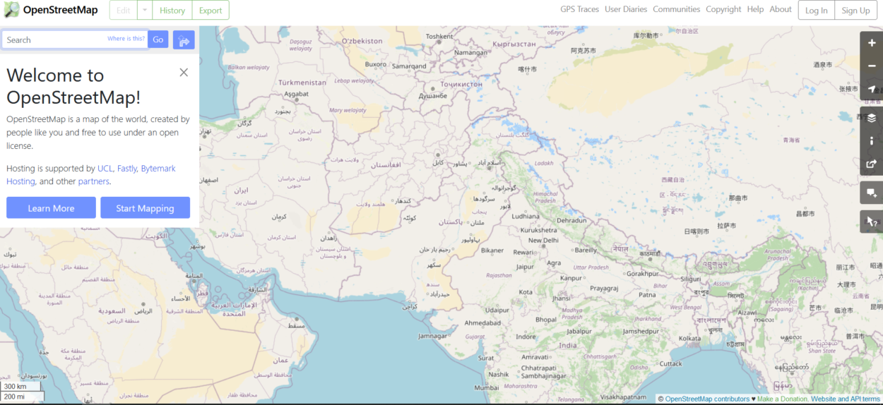
OpenStreetMap
OpenStreetMap (OSM) is a free and open-source mapping platform that provides an alternative to Google Earth. Scroll below to learn about its strength and weaknesses.
Strengths:
- OSM is a community-driven project, allowing anyone to contribute and improve the maps. As an open-source platform, OSM provides users access to its source code, enabling greater flexibility and customization options.
- OSM’s collaborative mapping approach allows for rapid updates and accuracy improvements, particularly in areas where commercial maps may be limited or outdated.
- OSM supports many data formats, easily integrating with other software tools and data sources.
Weaknesses:
- OSM may have limited data coverage in some areas, particularly remote or underdeveloped regions, where mapping data may be scarce.
- As an open-source project, data quality may vary depending on the contributor’s expertise or the region’s mapping activity.
- OSM has limited 3D capabilities, making it challenging to visualize terrain and other features in a 3D environment.

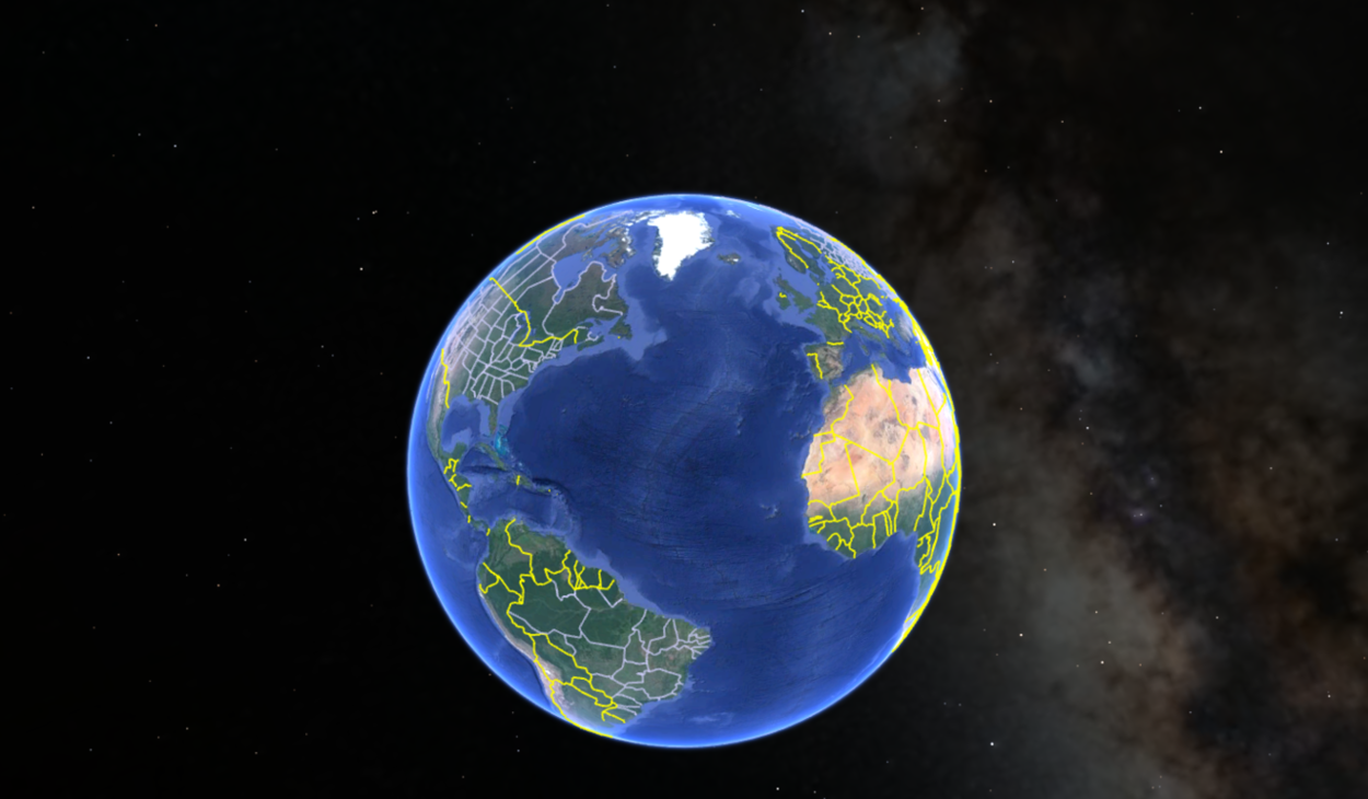
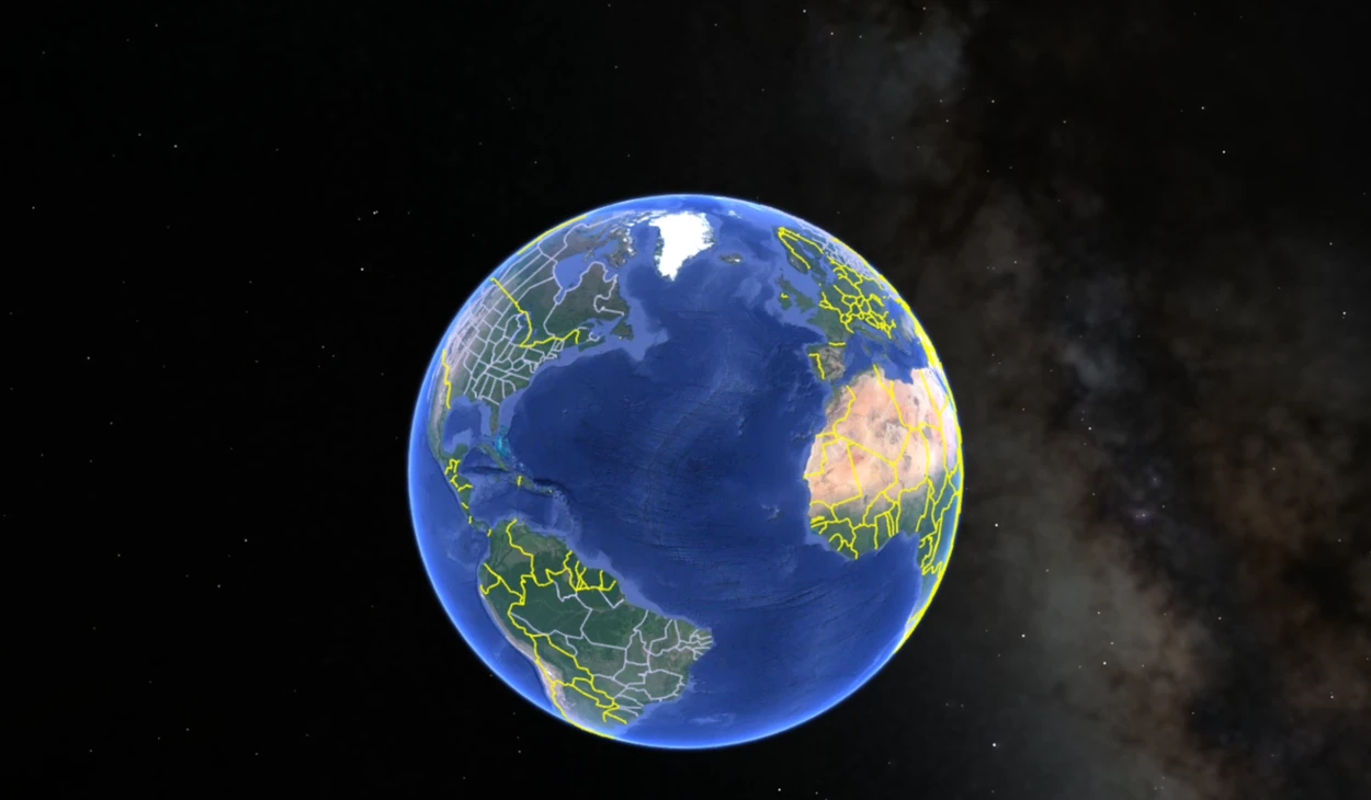
NASA WorldWind
NASA WorldWind is an open-source virtual globe software that offers an alternative to Google Earth. Check out its strengths and weaknesses to examine it.
Strengths:
- NASA WorldWind provides users access to its source code as open-source software, allowing for greater flexibility and customization options.
- NASA WorldWind offers high-resolution imagery of the Earth’s surface, making it a useful tool for scientific and educational purposes.
- NASA WorldWind offers a range of data layers, such as weather patterns, vegetation, and terrain, allowing users to explore the Earth’s surface in greater detail.
Weaknesses:
- As open-source software, NASA WorldWind may not have the same level of support or resources available as other mapping software, which can be challenging for users who need assistance or troubleshooting.
- While NASA WorldWind offers some customization options, it can be more challenging to customize maps than other mapping software.
- NASA WorldWind has a smaller user base than other mapping software, which may limit its development and support in the future.
FAQS
What is the best free satellite map?
The best free satellite map is Google Maps. It offers detailed satellite imagery and street maps for locations around the world. Users can zoom in and out, switch between satellite and map views, and explore points of interest.
Additionally, Google Maps provides real-time traffic updates and directions, making it a versatile tool for personal and professional use.
Is Zoom Earth better than Google Earth?
Zoom Earth and Google Earth are powerful satellite mapping tools with different strengths. Zoom Earth offers real-time satellite imagery, which can be useful for tracking weather patterns and natural disasters.
Google Earth provides more detailed and interactive 3D mapping, exploration features, and information on points of interest and historical imagery. Ultimately, the choice between the two will depend on the user’s intended use and individual requirements.
Conclusion
- Several viable alternatives to Google Earth can provide similar features and capabilities.
- The best options include NASA World Wind, ESRI ArcGIS Earth, Global Mapper, OpenStreetMap, and Bing Maps.
- Users should consider their needs and preferences when evaluating these alternatives to determine which fits their requirements best.
- These alternatives can provide valuable geospatial data visualization and analysis capabilities for personal or professional use.
- You can check out the strengths and weaknesses of each software above and choose your desired software.
Related Articles
- Is Google Earth A True GIS? (Know now)
- What Are The Benefits Of Google Earth? (Revealed)
- How Do I Navigate Google Earth On iPad? (Know now)