
In a world where communication transcends borders and global interactions are the norm, abbreviations play a crucial role in streamlining the information exchange.
Among the myriad of abbreviations used daily, country abbreviations are essential tools for efficiently denoting nations across various platforms, from postal addresses to international diplomacy.
Yet, behind these seemingly arbitrary combinations of letters lie fascinating insights into geography, language, and history. In this article, we delve into country abbreviations, unraveling their significance, origins, and the diverse systems employed across different regions.
Join us as we embark on a journey through the alphabet to decipher the codes that represent our planet’s nations.
How Country Abbreviations Have Evolved?
Initially, country abbreviations were often derived from the native language or Latin names of countries. For example, “UK” for the United Kingdom (United Kingdom), “DE” for Germany (Deutschland), and “FR” for France (France).
However, as English became the dominant language of international communication, many abbreviations shifted to reflect English names or phonetic adaptations.
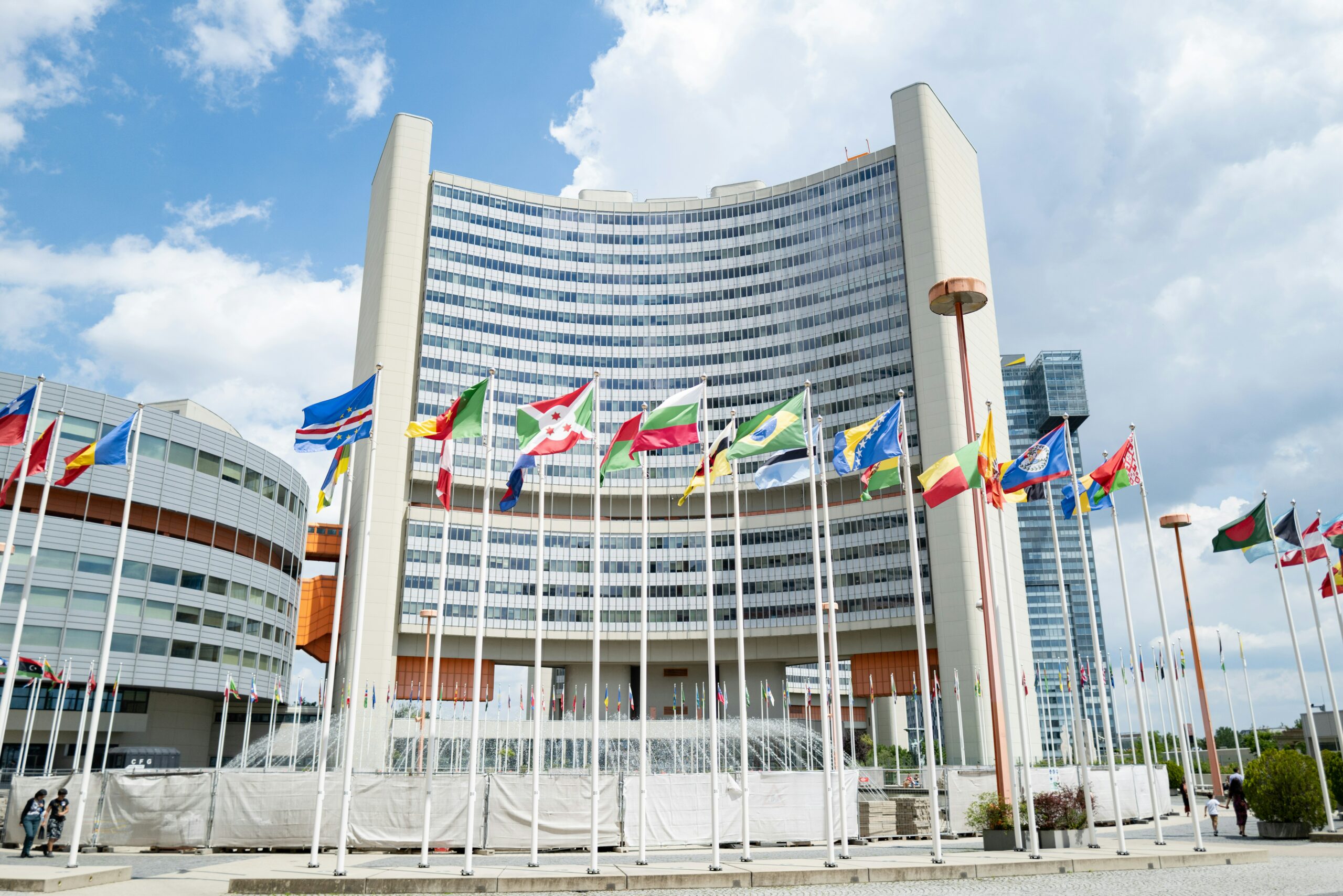
With the rise of global organizations like the United Nations (UN) and the International Organization for Standardization (ISO), efforts were made to standardize country abbreviations for consistency in international communication.
The ISO 3166 standard, for instance, provides a globally recognized system of two-letter and three-letter country codes used in various contexts such as internet domains, shipping, and banking.
The advent of telecommunication and the internet necessitated efficient and standardized ways of representing countries in digital formats. Abbreviations became integral to email addresses, domain names, and other digital identifiers, leading to increased reliance on established abbreviation systems like ISO 3166.
The breakup of nations or the emergence of new states has led to the creation of new abbreviations or modifications of existing ones. For instance, with the dissolution of the Soviet Union, new abbreviations were introduced for independent states such as Russia (RU) and Ukraine (UA).
Over time, certain country abbreviations have become contentious due to cultural or political sensitivities. For example, abbreviations derived from colonial-era names or terms perceived as derogatory may be replaced or contested by nations seeking to assert their cultural identity.
As regional integration and economic cooperation have increased, abbreviations representing economic unions or political blocs have emerged. Examples include “EU” for the European Union and “ASEAN” for the Association of Southeast Asian Nations.
In the age of globalization, there is a growing trend towards digital localization, where country-specific abbreviations may be adapted to reflect local languages or cultural preferences in digital interfaces and platforms.
| Country | Abbreviation |
|---|---|
| United States | USA |
| Canada | CAN |
| United Kingdom | UK |
| Australia | AUS |
| Germany | DE |
| France | FR |
| Japan | JP |
| China | CN |
| Brazil | BR |
| India | IN |
| Russia | RU |
| South Africa | ZA |
| Mexico | MX |
| Italy | IT |
| Spain | ES |
| Argentina | AR |
| Saudi Arabia | SA |
| South Korea | KR |
| Indonesia | ID |
| Nigeria | NG |
| Egypt | EG |
Practical Applications and Usage
Practical applications and usage of country abbreviations span various fields and are crucial for streamlining communication, facilitating international transactions, and ensuring efficient logistical operations. Here are some common applications:
- Postal Services: Country abbreviations are essential for international mail delivery. They help postal services accurately route mail to the correct destination, particularly in cases where addresses are written in different languages or scripts.


- Shipping and Logistics: In the shipping and logistics industry, country abbreviations are used on shipping documents, manifests, and labels to denote the origin or destination of goods. This ensures smooth transportation and customs clearance processes.
- Travel and Tourism: Abbreviations are commonly used on passports, visas, travel documents, and flight itineraries to denote the country of citizenship, departure, or destination. They also appear on airline ticket codes, luggage tags, and immigration forms.
- International Trade: In trade documentation such as invoices, bills of lading, and customs declarations, country abbreviations indicate the origin and destination of goods, facilitating cross-border trade transactions and compliance with import/export regulations.
- Banking and Finance: Country abbreviations are used in international banking transactions, wire transfers, and financial reporting to denote the currency, location of financial institutions, and jurisdictional information required for regulatory compliance.
- Internet Domain Names: Abbreviations are commonly used as top-level domain (TLD) identifiers in internet domain names to denote the country or territory associated with a website. Examples include “.us” for the United States, “.uk” for the United Kingdom, and “.jp” for Japan.
- Telephone Dialing Codes: Country abbreviations are often used as part of international telephone dialing codes (country codes) to specify the country of destination for international calls. For example, “+1” for the United States and Canada, “+44” for the United Kingdom, and “+86” for China.
- Sports and Competitions: In international sports competitions, abbreviations are used to represent the participating countries in event schedules, scoreboards, and athlete identifiers. They also appear on national team uniforms and flags.
- Academic and Research Publications: In academic and research publications, country abbreviations are commonly used in citations, author affiliations, and geographical references to denote the location of institutions, studies, or data sources.
Overall, country abbreviations play a vital role in various aspects of global communication, commerce, and coordination, serving as concise identifiers that facilitate efficient and accurate exchange of information across borders.
How Do Maps Use Country Abbreviations?
Maps use country abbreviations in several ways to convey information concisely and efficiently. Here are some common ways maps utilize country abbreviations:
- Map Legends: Many maps include a legend or key that lists symbols, colors, and abbreviations used on the map. Country abbreviations are often included in the legend to denote the names of countries represented on the map. For example, “USA” for the United States, “CAN” for Canada, and “AUS” for Australia.


- Map Labels: In maps depicting political boundaries, country abbreviations may be used as labels to identify countries. These abbreviations are typically placed within or adjacent to the boundaries of each country, making it easy for viewers to identify and locate specific nations on the map.
- Inset Maps: In larger-scale maps or maps focusing on specific regions, inset maps may be included to provide additional detail. Country abbreviations are often used in inset maps to label nearby countries or regions, allowing viewers to understand the geographical context.
- Thematic Maps: Thematic maps, which depict specific themes or phenomena such as population density, climate zones, or economic indicators, may use country abbreviations as labels to identify countries relevant to the theme being portrayed. For example, a map showing global temperature variations may include country abbreviations to indicate temperature data for different nations.
- Locator Maps: Locator maps, commonly found in atlases or travel guides, provide an overview of a larger geographical area and highlight the location of specific points of interest or regions. Country abbreviations may be used on locator maps to label countries and help users quickly identify their location in relation to other countries or landmarks.
- Digital Maps and GIS: In digital maps and Geographic Information Systems (GIS), country abbreviations are often used as part of data layers and attribute tables to represent countries in spatial datasets. These abbreviations facilitate data analysis, spatial querying, and visualization of geographic information.
Overall, country abbreviations serve as essential tools for cartographers, mapmakers, and users alike, enabling clear and concise communication of geographical information on maps of various scales and types.
Conclusion
- Country abbreviations play a vital role in facilitating efficient and concise communication across various fields and platforms.
- The use of standardized abbreviation systems like ISO 3166 ensures consistency and clarity in international communication, particularly in fields such as shipping, logistics, and finance.
- Abbreviations serve as universal identifiers, allowing individuals and organizations worldwide to easily identify and reference countries, regardless of language or geographical location.
- In a world where borders are increasingly fluid and interconnected, country abbreviations serve as navigational tools, helping individuals and organizations navigate the complexities of our globalized society.