![Google Earth – Is it a True GIS? [The Truth]](https://gearthhacks.com/wp-content/uploads/2022/12/download-5-1.png)
![Google Earth – Is it a True GIS? [The Truth]](https://gearthhacks.com/wp-content/uploads/2022/12/download-5-1.png.webp)
Google Earth has become a popular tool for viewing and exploring the world, and for many, it has become synonymous with Geographic Information Systems (GIS). But is Google Earth really a true GIS?
GIS (Geographic Information System) is a powerful tool for managing and analyzing geographic data in order to better understand relationships, patterns, and trends within the data.
In this blog post, we’ll take a look at what GIS is, how it differs from Google Earth, and why Google Earth isn’t a replacement for a full GIS system. We’ll also explore the benefits of Google Earth for GIS users and why it remains an important tool for those in the GIS field.
What is GIS?
GIS stands for Geographic Information System. It’s a powerful tool for managing and analyzing geographic data in order to better understand relationships, patterns, and trends within the data.
GIS helps people make sense of their environment by combining spatial data with other data to create an overall picture of the world. GIS allows us to view, analyze, manage, and share geographic information in a variety of ways.
At its core, GIS is a computer-based system that utilizes maps, imagery, and databases to represent and analyze spatial information. This information can include physical features like roads and rivers, as well as human-made elements such as population centers and political boundaries.
GIS allows us to visualize and analyze our environment by combining all these different sources of data into one map or image.
GIS is used in many industries, from agriculture to healthcare to urban planning. By using GIS, organizations are able to better understand the world around them and make informed decisions about how to utilize their resources in the most efficient way.
GIS can also be used for problem-solving purposes such as predicting the spread of diseases or understanding the impacts of climate change. Overall, GIS is a powerful tool for understanding the world around us and making informed decisions about how we use it.
Here are some of the most well-known GIS software:
- ArcGIS
- QGIS
- MapInfo
- AutoCAD Map
- Global Mapper
What Is Google Earth?

Google Earth is a 3D mapping application developed by Google for use on computers and mobile devices. It uses satellite imagery, aerial photography, and geographic information to provide users with a virtual globe of the entire Earth.
With Google Earth, users can view different geographical features such as mountains, oceans, deserts, cities, and more from the comfort of their own devices.
It also includes other useful features such as street-level views, historical imagery, elevation profiles, and much more. With its easy-to-use interface and rich data sets, Google Earth has become an invaluable tool for exploration, analysis, and storytelling.
What Are the Capabilities of Google Earth?


Google Earth is a powerful geographic information system (GIS) that allows users to view the world from an aerial perspective. It’s an online platform, that allows users to explore the world’s most geographically and geologically diverse areas in a detailed 3D environment.
The user can explore multiple maps, and terrain including satellite imagery, topographic maps, historical maps, streets, buildings, and more. With Google Earth you can:
- Find and view locations around the world
- Search for points of interest such as restaurants, hotels, airports, and landmarks
- Access Street View and satellite imagery of almost any place on earth
- Measure distances and areas
- Create personalized content such as placemarks, lines, paths, and shapes.
- You can also use Google Earth Pro to analyze data using overlays, view data on charts and tables, perform calculations and develop reports.
Overall, Google Earth provides users with an incredibly powerful tool for viewing, exploring, and understanding geographic information from a global perspective. Its wide range of capabilities makes it an excellent choice for GIS professionals, students, and hobbyists alike.
How Does Google Earth Compare to Other GIS Software?

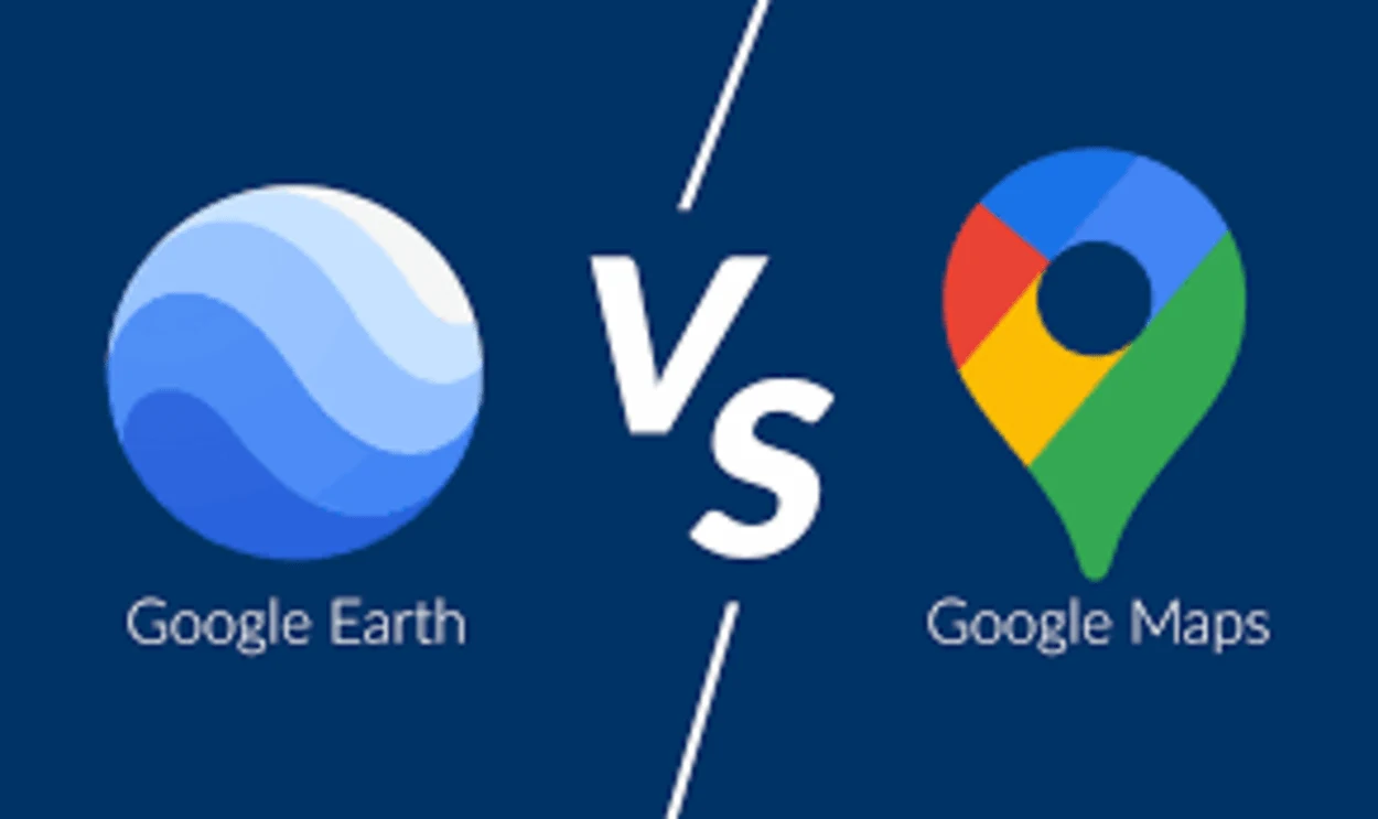
Google Earth is a powerful and versatile tool for exploring the Earth’s surface, but it’s not a true Geographic Information System (GIS). GIS is an integrated system of computer software and hardware that allows users to collect, store, analyze and display spatial information.
GIS software includes advanced analysis and mapping capabilities, allowing users to explore data in ways that can help make decisions or solve problems.
In comparison to traditional GIS software, Google Earth has many similarities but lacks some of the more advanced analytical tools found in professional GIS software packages. Unlike professional GIS programs, Google Earth does not allow users to create or edit their own geospatial data or modify existing datasets.
It also lacks the ability to perform complex geoprocessing operations such as buffer analysis, cost path analysis, and network routing. Additionally, Google Earth doesn’t provide access to large, enterprise databases or advanced 3D visualization tools.
While Google Earth is not a true GIS, it does provide users with powerful features for exploring and displaying spatial information. For example, its Street View feature provides a realistic experience of walking down a street from anywhere in the world.
Its 3D imagery makes it easy to understand locations in a visual way and its satellite imagery gives users the opportunity to view the earth from a birds-eye perspective. Additionally, its KML file format makes it easy to share custom maps with others.
Overall, Google Earth is a great tool for basic mapping tasks, but it can’t be used as a replacement for professional GIS software. If you are looking for a more advanced solution for your mapping needs, then traditional GIS software may be your best option.
What Are the Advantages And Disadvantages of Using Google Earth as a GIS Tool?
Google Earth is a powerful tool for geographic exploration and analysis. It has a wide variety of functions and features that make it useful in many different disciplines. It’s free to download and use, and has become a popular choice for GIS professionals and hobbyists alike.
One of the biggest advantages of Google Earth is its intuitive user interface. It’s easy to navigate and understand, making it accessible to users with minimal GIS experience.
It also provides access to high-resolution imagery, aerial photos, and elevation data, allowing users to explore geographical features at a level of detail that would otherwise be difficult to achieve. Additionally, Google Earth offers an extensive range of options for visualizing data such as vector layers, heat maps, and 3D models.
While Google Earth is a great tool for basic GIS tasks, it has some limitations when it comes to more complex tasks. Its lack of support for many GIS formats can be a problem when dealing with large datasets.
Additionally, its tools are not as comprehensive as those of dedicated GIS software packages. This can make it difficult to carry out more sophisticated analysis or modeling tasks.
Furthermore, Google Earth’s reliance on the internet connection can be an issue when working offline. Without an internet connection, users will not be able to access all of its features or use the full range of tools available.
Overall, Google Earth is a great tool for basic GIS needs but does have some limitations. While it’s suitable for some tasks, more complex analysis will require the use of dedicated GIS software.
What Are the Differences Between Google Earth and GIS?
| Feature | Google Earth | GIS |
| Purpose | Viewing and exploring geographic data | Analyzing, creating, and managing geographic data |
| Level of Detail | High | High |
| Types of Data | Satellite, aerial, and street view imagery; geographic data; 3D models | Various types of spatial data and geographic information |
When it comes to geographic information systems (GIS) software, there’s a significant difference between Google Earth and GIS.
GIS software allows you to analyze spatial data and create custom maps. It can be used for a variety of purposes including land management, planning, forecasting, or anything that requires an analysis of geographic data.
Google Earth is different in that it provides an interactive 3D virtual globe that allows users to explore the earth’s terrain, oceans, and surface features. The data in Google Earth is drawn from satellite imagery and aerial photographs and is constantly updated.
GIS software provides more powerful tools for working with geographic information. It can be used to create and manipulate digital maps, perform spatial analysis, and build models to make predictions. This makes GIS a much more comprehensive solution for working with geographic data.
Additionally, GIS has powerful built-in algorithms that allow you to quickly process large amounts of data, making it ideal for use in research or scientific applications.
Google Earth does have some features that are similar to those found in GIS software, such as being able to measure distances, create paths, and export images. However, these tools are limited compared to the capabilities of GIS software.
Ultimately, Google Earth is great for visualizing and exploring the earth’s surface, but it shouldn’t be used as a primary source for geographic data analysis.
FAQs
Does Google Earth Use GIS Technology?
Yes, Google Earth uses GIS technology to create its virtual representation of the Earth.
It combines satellite, aerial, and street view imagery with geographic data and 3D models to create a detailed, interactive map of the Earth’s surface.
Is Google Earth a Complete GIS Platform?
While Google Earth does use GIS technology, it isn’t a complete GIS platform. It doesn’t have the same level of functionality and capabilities as dedicated GIS software, such as ArcGIS or QGIS.
Google Earth is primarily used for viewing and exploring geographic data, rather than for creating or analyzing it.
Conclusion
- Google Earth is a virtual mapping service that allows users to view satellite imagery, 3D models, and geographic data of the Earth. It’s available as a desktop application and as a mobile app for iOS and Android devices.
- GIS stands for Geographic Information System. It’s a set of tools and technologies used to capture, store, analyze, and visualize spatial data and geographic information. GIS is used in a variety of fields, including mapping, environmental science, urban planning, and logistics.
- Google Earth can be a useful tool for viewing and exploring geographic data, but it’s not a true GIS. While Google Earth offers some capabilities that may be helpful for GIS professionals, its lack of robust spatial analysis, data management, and mapping tools makes it inadequate for more advanced GIS tasks.
- Google Earth is best used for simple visualizations and explorations, but for any deeper GIS work, you’ll need to use a dedicated GIS application.
Related Articles
- Is Google Earth Free? [Revealed!]
- Can I See My House on Google Earth? (Find Out!)
- Can You Use Google Earth Without Downloading It? [Find Out]