
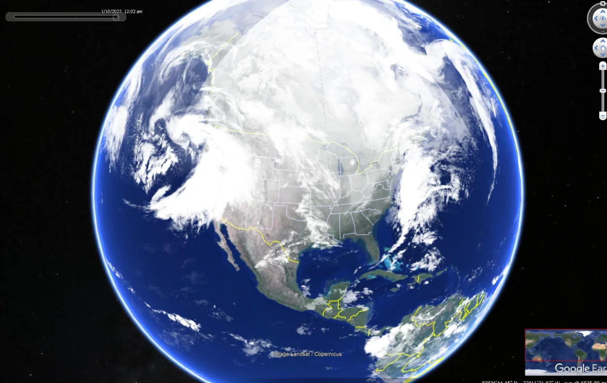
Google Earth provides an immersive experience for anyone who wants to take a virtual world tour. Google Earth also includes features such as historical imagery, ocean data, and more to get an up-close look at any part of the world. With all these features available, exploring our planet has never been easier!
With Google Earth, users can zoom in on cities, mountains, rivers, and other points of interest to better understand the world. It also offers educational tools such as videos and images to help students learn more about different places and cultures.
It’s an invaluable resource for anyone who wants to explore the world without leaving their home.
However, if you’re wondering if Google Earth is still updating, then the answer is yes. It’s constantly updating with new features and additions to its maps.
If you want to know more about the updates of Google Earth, you should scroll down.
Table of Contents
ToggleHow often does Google Earth get Updated?
According to Google, “Google Earth imagery is updated on an ongoing basis, as often as every few weeks.”
However, it’s important to note that this update schedule can vary depending on the location. For example, imagery of more developed areas is typically updated more frequently than less developed areas.
So there you’ve it – Google Earth is updated on a regular basis, but the exact schedule can vary depending on the location.
Is Google Earth Still being Updated?
Since its launch in 2005, Google Earth has been continuously updated with new imagery and data. In recent years, however, the frequency of these updates has decreased.
For example, the most recent images of the United States were released in August 2022 or somewhat close. This has led some to wonder if Google Earth is still being updated.
The answer is yes; Google Earth is still being updated. However, the updates are not as frequent as they once were.
This is because the majority of the Earth has already been mapped, and there is less new data to add. That being said, Google Earth is still an incredibly useful tool and is worth keeping an eye on for future updates.

When was the Last time Google Earth Was Updated?
Google Earth was last updated in the year 2021, April.
Google Earth is a powerful tool that allows users to explore the world from the comfort of their own homes. It has been around since 2005 and has been regularly updated with new features and content.
The last major update for Google Earth was in April 2021, when it added a new 3D map layer, improved navigation features, control over rendering options, and data tracking. The update also included the ability to explore historical imagery dating back to old times.
This makes it easier than ever for users to view changes over time and explore different parts of the world.
How do I get the Latest Google Earth Update?
If you’re a fan of Google Earth, you want to stay up to date- the latest update was just released, and it’s packed full of new features and improvements. Here’s everything you need to know about getting the update and enjoying all the new goodies.
First, make sure you’re running the latest version of Google Earth Pro. If you’re not, you can download it for free from the Google Earth website.
Once you’ve got it installed, fire it up and click the ‘Help’ menu. From there, select ‘About Google Earth Pro, and you should see a message telling you that a new update is available. Click the ‘Update’ button and follow the prompts to install the update.
Once the new Google Earth update has been installed, you’ll be able to enjoy all the latest features and revisions.
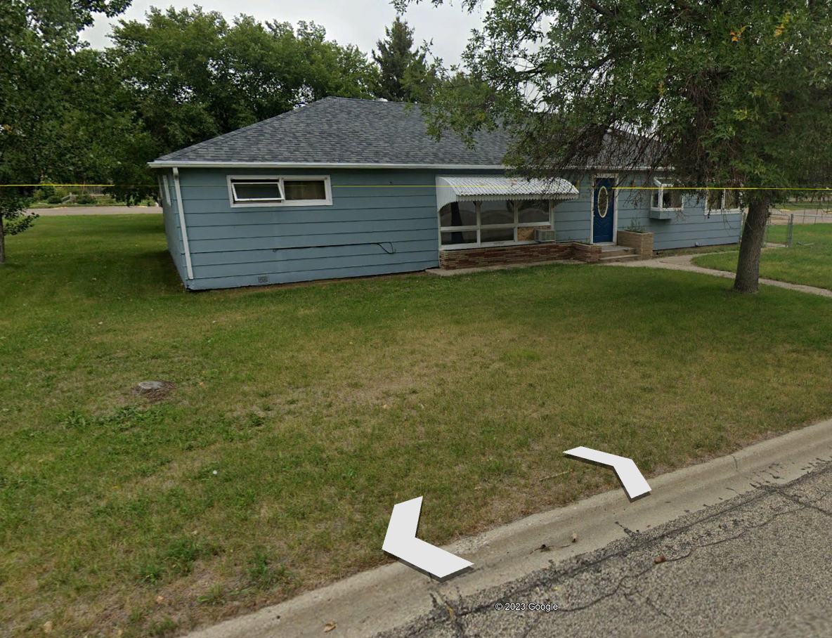
Can I see my House in Real-time on Google Earth?
Google Earth lets you view satellite images anywhere in the world, and you can even see your own house in real-time. This can be a fun way to check out your neighborhood or see how your city has changed over time.
Ensure you’ve installed the latest software version to view your house in real time on Google Earth. Then, open Google Earth and zoom in on your location until you see your house. You can then click on the “3D View” option to see a 3D model of your house. If you don’t see this option, it means that Google Earth doesn’t have 3D data for your location.
However, it’s to be noted if your house has recently been built, it might not be visible on Google Earth. So you got to wait until it updates.
Is Google Earth Live?
Google Earth has many features, including satellite imagery, maps, 3D buildings, and more. However, despite its popularity, there’s no live version of Google Earth.
Some of its features, such as satellite imagery, and others, such as 3D buildings, are not updated in real-time. This means that users can’t use Google Earth to view the live world in real-time. Nevertheless, it remains a useful tool for exploring the world and learning about different places around the globe.
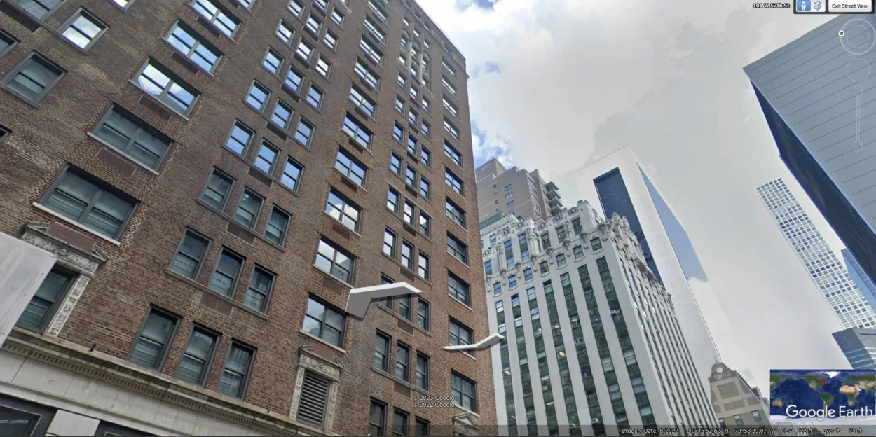
When is Google Maps going to Update Street View?
If you live in rural or remote areas, street views might not be updated regularly or even take years to update. However, urban street views are updated quite quickly compared to rural areas.
Street View in Google Earth allows you to view 360-degree panoramas of streets all over the world. With Street View, you can see the world like never before – explore landmarks and natural wonders and even go inside businesses and homes. You can even use Street View to take a virtual walk or drive around your neighborhood.
If you want to view Street View on Google Earth, simply open Google Earth and search for a location. Then, click on the “Street View” icon to see the 360-degree panorama for that location. You can also click and drag to look around and use the arrow keys to move forward and backward.
When will Google Earth Update my House?
Google Earth satellite imagery is updated on a regular basis; this means you can expect to see your house when the map of your area is updated.
However, it can take up to a year or longer for new satellite imagery to become available for your area. If you live in a rural area, it may take even longer for new imagery to become available.
If you want to check if new satellite imagery is available for your area, you can go to the Google Earth website and zoom in on your location. If there’s new imagery available, you’ll see a date in the bottom corner of the screen. This date indicates when the satellite imagery was last updated.
Keep in mind that Google Earth satellite imagery isn’t live. This means that you’ll not see real-time changes happening in your area. However, the satellite imagery is usually updated within a few months of the event happening.
Moreover, you can check the amazing Google Earth and how it keeps updated on the changes happening on the globe:
Final Thoughts
- Google Street View is a cool tool that lets you see what a street looks like from ground level. It’s a great way to explore a new city or get a better sense of direction. But one downside to Street View is that it doesn’t always stay up-to-date.
- However, it doesn’t mean that it doesn’t update at all. Google Earth keeps updating its features and its maps from time to time.
- The imagery you see on Google Earth might be a little old, but Google Earth also has a valid reason.
- These are either satellite or aerial images, and it’s hard to get both of them. Google obtains aerial images from different resources or third parties. This can cause delays in getting the images.
- Moreover, you can see the updated images in a few months, so keep checking for updates. But if you live in an urban area, you can see a quicker update than the other cases.
Related Articles
- Is Google Earth Free? [Revealed!]
- Can You Use Google Earth Without Downloading It? [Find Out]
- How to View Google Earth Live? [Explained!]