Kansas is a state located in the Midwestern region of the United States. It is bordered by Nebraska to the north, Missouri to the east, Oklahoma to the south, and Colorado to the west. To its northeast is the state of Kansas.
The state’s capital is Topeka, and its largest city is Wichita. Kansas is known for its vast plains, with agriculture being a significant part of its economy. It is often referred to as the “Sunflower State” due to the abundance of sunflowers that grow there.
Additionally, Kansas played a crucial role in American history, particularly during the era of westward expansion and the Civil War.
Let’s explore this state in detail.
What will you find on the map of Kansas?


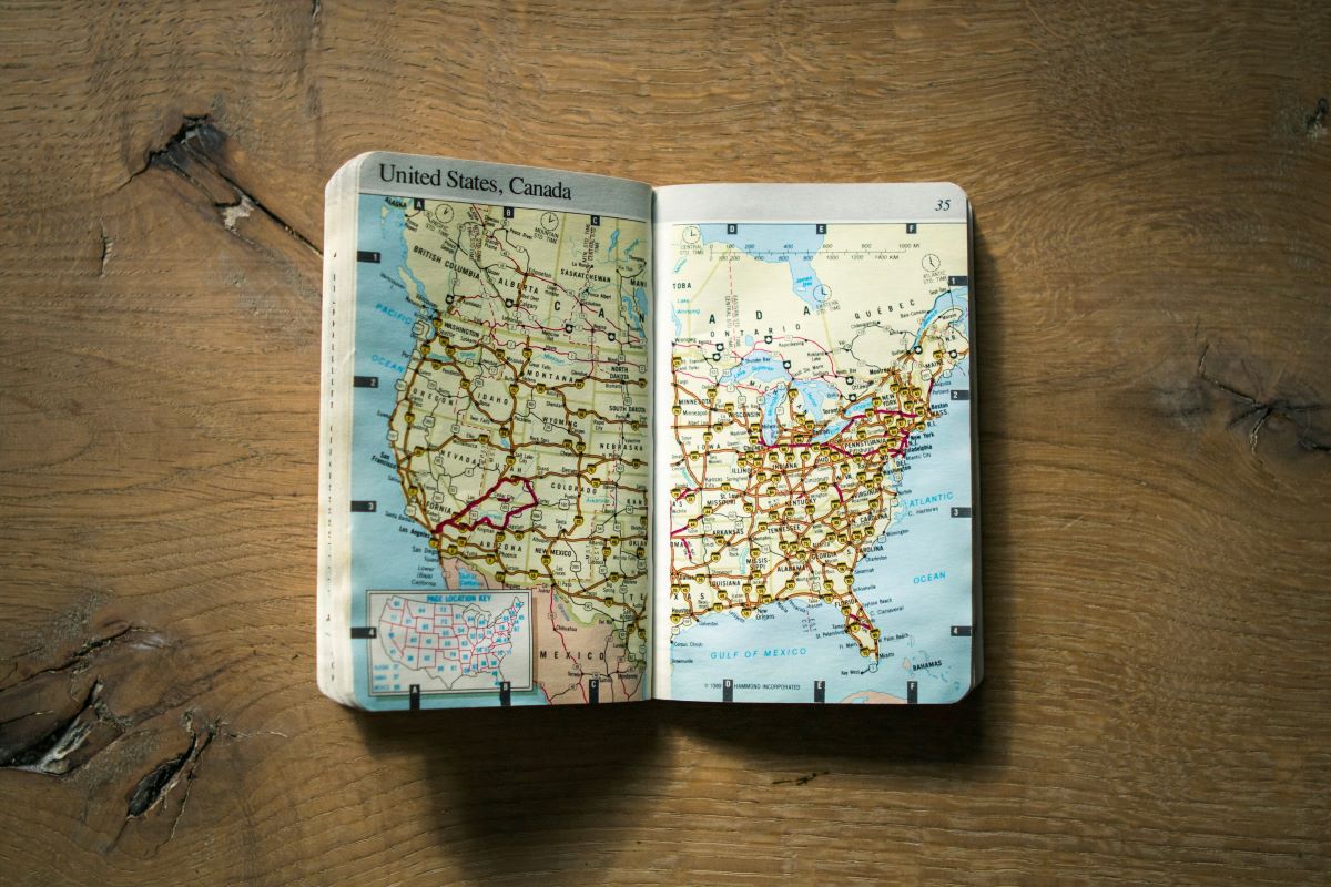
The Kansas state map depicts the geographical features, cities, towns, highways, and other landmarks within Kansas.
The map will display major cities like Wichita, Topeka, and Kansas City, as well as smaller towns and municipalities across the state.
Kansas is divided into counties, each with its own distinct boundaries. These counties are often labeled on the map to provide a sense of administrative divisions within the state.
You’ll see the natural landscape features such as rivers, lakes, and reservoirs. Major rivers like the Arkansas River and the Kansas River might be highlighted, along with significant lakes such as Clinton Lake or Cheney Reservoir.


The map will show interstate highways (such as I-70 and I-35) as well as state highways and smaller roads. Highways are typically labeled with their respective numbers.
Notable landmarks or attractions within Kansas, such as state parks, national historic sites, or monuments, might be indicated on the map.
Kansas shares borders with several states, so the map will display the neighboring states of Nebraska, Missouri, Oklahoma, and Colorado.
A legend or key is often included to explain the symbols, colors, and markings used on the map. This helps users understand the various features represented on the map.
Overall, a Kansas state map provides a comprehensive visual representation of the state’s geography, infrastructure, and important landmarks, making it a valuable tool for navigation, travel planning, and geographical understanding.
Tourist Spots in Kansas
Kansas offers a variety of tourist attractions that showcase its natural beauty, history, and culture. Here are some popular tourist spots in Kansas:
| Tourist Spot | Location | Description |
|---|---|---|
| Tallgrass Prairie National Preserve | Flint Hills region | Protects the last remaining tallgrass prairie ecosystem in North America. Offers hiking and wildlife viewing. |
| Wichita | South-central Kansas | Known as the “Cowboy Capital.” Attractions include the Boot Hill Museum and historic downtown. |
| Kansas City | Northeastern Kansas | Offers attractions like Nelson-Atkins Museum of Art, Kansas City Zoo, and the Country Club Plaza shopping district. |
| Dodge City | Southwestern Kansas | Historic town with a mining history. Visitors can tour the downtown area and visit the Tombstone Visitor Center. |
| Tombstone | Southeastern Kansas | Historic town with mining history. Visitors can tour the downtown area and visit the Tombstone Visitor Center. |
| Monument Rocks (Chalk Pyramids) | Gove County | Towering chalk formations with hiking trails and unique geological features. |
| Strataca (Kansas Underground Salt Museum) | Hutchinson | Offers attractions like Sedgwick County Zoo, Old Cowtown Museum, and Exploration Place Science Center. |
| Konza Prairie | Near Manhattan, Kansas | Research and educational preserve with hiking trails through native tallgrass prairie. |
| Eisenhower Presidential Library, Museum, and Boyhood Home | Abilene, Kansas | Commemorates the life and legacy of President Dwight D. Eisenhower. Offers museum and library tours. |
| Cosmosphere | Hutchinson | Space museum and STEM education center with exhibits on space exploration and NASA artifacts. |


These are just a few of the many tourist spots that Kansas has to offer, showcasing the state’s diverse landscapes, history, and culture.
FAQs
What is Kansas known for?
Kansas is known for its vast prairies, often referred to as the “Sunflower State.” It’s also famous for its role in American history, particularly during the era of westward expansion and the Civil War.
What is the state capital of Kansas?
The capital of Kansas is Topeka.
What is the climate like in Kansas?
Kansas has a continental climate with hot summers and cold winters. The eastern part of the state tends to be more humid, while the western part is drier. Tornadoes are also relatively common in Kansas, particularly during the spring and early summer months.
Conclusion
- Kansas’s map showcases a rich diversity of landscapes, from expansive prairies to rolling hills and river valleys, offering something for every outdoor enthusiast.
- The map of Kansas reflects its rich historical significance, from its pivotal role in the westward expansion of the United States to its involvement in the Civil War and the abolitionist movement.
- Kansas’s map highlights numerous tourist attractions, including national parks, historic sites, museums, and cultural landmarks, inviting visitors to explore the state’s heritage and natural beauty.
- Beyond its cultural and historical significance, the Kansas map serves as a practical navigational tool, helping residents and travelers alike navigate the state’s highways, byways, and scenic routes with ease.