![Can You Change the Year on Google Earth?[Find Out]](https://gearthhacks.com/wp-content/uploads/2022/12/download-_2_-1.png)
![Can You Change the Year on Google Earth?[Find Out]](https://gearthhacks.com/wp-content/uploads/2022/12/download-_2_-1.png.webp)
Are you curious about how the world has changed over time? If so, Google Earth is a great way to explore the past and see how the world has evolved.
One of the most fascinating features of Google Earth is the ability to change the year and see how different areas looked at different points in history. Google Earth has evolved over the years, adding features such as Street View, real-time weather forecasts, 3D imagery, and even historical imagery of the Earth’s surface.
In this blog post, we’ll discuss whether you can change the year on Google Earth and what kind of insight it provides.
The History of Google Earth
Google Earth has been around for nearly two decades, having first been released in 2001. It was developed by a group of engineers at Keyhole Inc., which was acquired by Google in 2004. Since then, Google Earth has become a powerful tool for exploration, allowing people to virtually travel anywhere in the world and view satellite images of the planet’s surface.
Google Earth has evolved over the years, adding features such as Street View, real-time weather forecasts, 3D imagery, and even historical imagery of the Earth’s surface. Google Earth also works on multiple platforms, including iOS and Android devices. This makes it easier than ever to explore the world around you or to check out new places you’ve never been to before.
| Feature | “Historical Imagery” in Google Earth |
| Description | Allows users to view satellite imagery from different points in time |
| Access Method | Timeline slider in the top right corner of the Google Earth window, or right-click on the map and select “Go to Historical Imagery” |
| Availability | Depends on the location and data sources used by Google Earth |
Google Earth is now used by millions of people across the globe, from students learning about geography to scientists studying climate change and much more. It’s a powerful tool for understanding our planet and continues to provide new ways for us to explore and learn about the world we live in.
How to Use Google Earth


Google Earth is an incredible tool that allows you to explore the world from the comfort of your own home. It’s easy to use and understand, making it perfect for everyone from the casual user to the serious cartographer. Here’s a quick guide on how to get started using Google Earth.
First, open up the application. When you do, you’ll be presented with a virtual globe that you can spin, zoom in and out of, and otherwise manipulate. You can search for specific places by typing in the name or address, or you can use the navigation controls at the top of the page to find what you’re looking for.
Once you’ve located a place you want to explore, you can click on it to get more information. Depending on where you are, you might see street-view images, photos, points of interest, or other helpful data. You can also zoom in and out as desired to get a better look at the area.
In addition to viewing your location, Google Earth offers several other features.
The layers menu allows you to add and remove different types of imagery, such as terrain, roads, borders, and even weather. If you want to measure distances or areas, you can use the ruler tool. And if you’re interested in saving your locations or sharing them with others, there’s my places feature.
Google Earth is a powerful and versatile tool that can help you explore and learn about different places around the world. With just a few clicks of the mouse, you can gain access to satellite images, maps, and other information that can help make your experience more enjoyable and productive.
Tips and Tricks
Google Earth can be a great tool for those who want to explore the world and find unique places. With its interactive maps and images, it can provide a great experience for users. However, there are some tips and tricks you can use to get the most out of your Google Earth experience.
- Switch Between Imagery Types: With Google Earth, you can switch between different types of imagery, such as satellite, street view, and terrain. This is especially useful if you’re looking for something specific, such as a particular mountain range or city skyline. To do this, just click on the icon in the upper-right corner of the map and select the type of imagery you would like to view.
- Accessing Historical Imagery: You can also access historical imagery on Google Earth. Just click on the clock icon in the upper-right corner of the map and you’ll be able to select an earlier date to view past images of the area.
- Measurement Tool: If you’re looking to measure the distance between two points, Google Earth has a handy tool that can help. Just draw a line between the two points, right-click on the line and then select “measure distance”. That’ll tell you the exact distance between the two points.
- View 3D Models: Another cool feature of Google Earth is its ability to display 3D models of buildings and monuments. To do this, just search for a location and click on the 3D option in the lower-right corner of the map. That’ll show you a 3D model of any structure or landmark in that area.
- Street View: Street view is another great feature of Google Earth that lets you get an up-close look at an area. Just search for a location and then click on the street view icon in the lower-left corner of the map. This will give you an immersive view of what it looks like in real life.
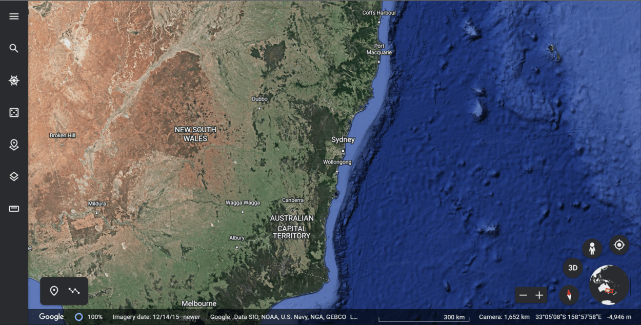
Changing the Year on Google Earth
Google Earth is a powerful tool for viewing the world from anywhere and at any time. With its impressive range of features, it offers a unique way to explore our planet. One of its most popular features is its ability to show historical imagery that dates back several decades. This feature allows you to virtually time travel and explore our planet in the past.
The “Historical Imagery” feature on Google Earth allows you to access older images of different locations. To access this feature, simply open Google Earth, find a location that you would like to view, and then select “View” in the upper-right corner of the page.
Then select “Historical Imagery” from the drop-down menu. You can then scroll through images from different years by using the timeline at the bottom of the page.
The Historical Imagery feature has a few limitations. Firstly, the availability of images depends on the location you are looking at. While some areas may have images dating back to the early 1900s, others may only have images from recent years.
Furthermore, while some images may be in high resolution, others may be grainy or pixelated due to their age. Additionally, some images may be completely unavailable due to technical reasons.
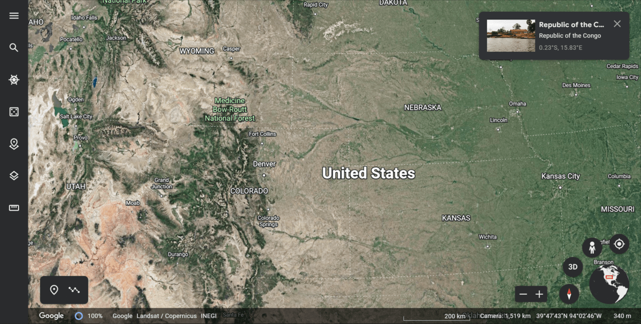
How Google Earth Works?
Google Earth works by accessing satellite imagery from a variety of sources. These sources include the Landsat 8 satellite operated by the US Geological Survey, Digital Globe’s WorldView-2, and more.
The satellite imagery is updated regularly, with new imagery becoming available as often as every couple of days.
Google Earth then processes and organizes this data into easy-to-view, interactive images. By using the program’s zoom feature, users can get an incredibly detailed view of the Earth. And since it’s constantly being updated, users can be sure that they are viewing the most up-to-date images of the Earth.
In addition to satellite imagery, Google Earth also integrates other data layers, such as elevation data and political boundaries. All of this data combined gives us a comprehensive view of the Earth that is simply not possible with other mapping tools.
So now you know how Google Earth works! By taking advantage of its various data sources, users can get an incredibly detailed and up-to-date view of our planet.
Other Options for Viewing Past Imagery on Google Earth
In addition to the built-in timeline feature of Google Earth, there are a variety of third-party tools and resources available for viewing past imagery. One such resource is the Historical Earth website, which contains a range of imagery from around the world from various sources, including Google Earth.
By accessing this website, users can explore and view past imagery from up to 10 years ago. This is a great resource for anyone looking to get an idea of what an area used to look like.
The pros of using these third-party tools and resources include access to much more detailed imagery than what is available on Google Earth. Additionally, they often contain imagery from multiple sources, allowing users to get a better overall picture of what an area looked like in the past.
The cons include a lack of control over the imagery, as users are not able to filter or search for specific types of imagery. Additionally, some images may not be available in certain areas due to restrictions placed by the provider.
Overall, these third-party tools and resources offer a great way for users to access more detailed past imagery of areas around the world. While they may not provide the same level of control as Google Earth’s timeline feature, they are a great option for anyone looking for more detailed views of how an area used to look.
FAQs
How Do You Access the “Historical Imagery” Feature on Google Earth?
To access the “Historical Imagery” feature, you can use the timeline slider located in the top right corner of the Google Earth window.
You can also access it by right-clicking on the map and selecting “Go to Historical Imagery.”
How Far Back in Time Can You View Satellite Imagery on Google Earth?
The availability of “Historical Imagery” depends on the location and the data sources used by Google Earth.
In some cases, you may be able to view imagery from as far back as the 1970s, while in other cases, the oldest imagery may be from the early 2000s.
Conclusion
- In conclusion, it’s possible to change the year on Google Earth by accessing the “Historical Imagery” feature.
- This feature allows users to view past satellite and aerial imagery of a particular location, allowing them to see how a location has changed over time.
- It’s important to note that the availability of historical imagery on Google Earth is dependent on the location and the date, and not all locations have imagery available for all dates.
- Additionally, the resolution and quality of the imagery may vary depending on the date and location. Overall, the “Historical Imagery” feature on Google Earth is a useful tool for exploring and comparing the changes in a particular location over time.
Related Articles
- Is Google Earth Free? [Revealed!]
- Can I See My House on Google Earth? (Find Out!)
- How to Use Google Earth in Chrome? [Find Out]