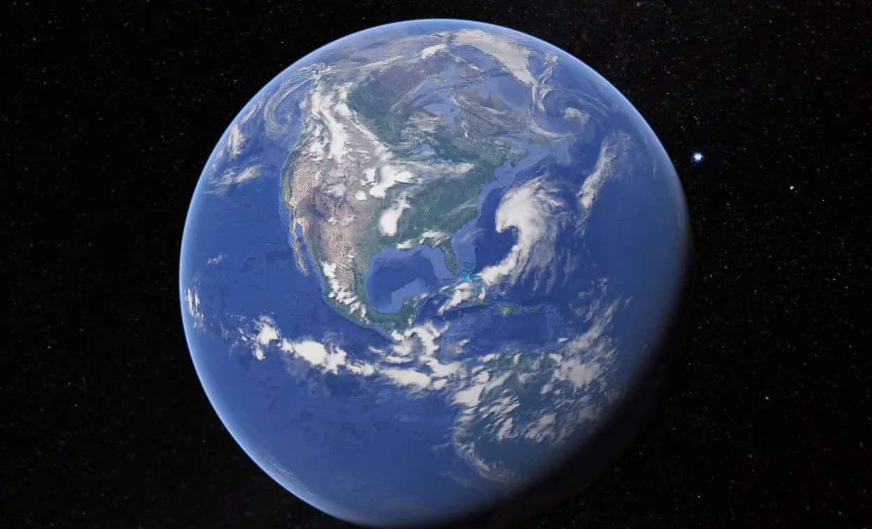
![Why Google Earth is so Out-Dated? [Answered]](https://gearthhacks.com/wp-content/uploads/2022/12/download-_4_-1.jpg)
![Why Google Earth is so Out-Dated? [Answered]](https://gearthhacks.com/wp-content/uploads/2022/12/download-_4_-1.jpg.webp)
Google Earth has been the talking of the town lately because of its amazing features of viewing around the world in just a click.
People who’re new to Google Earth still get furious when it doesn’t show updated images of their street or house and is outdated.
To end this confusion you need to know that Google Earth‘s images come from a variety of providers and platforms over time. However, since these images aren’t captured in real time, it’s not possible to observe changes in real time.
A single acquisition date can be seen in some images, while a range of dates taken over days or months can be seen in others.
Additionally, imagery refreshes can be slowed down by factors such as cloudy weather and vendor imagery availability. We need to be patient when dealing with collection realities because many parts of the world are typically cloudy. In Google Earth, satellite imagery is three years old on average.
What are Google Earth’s most Important Features?

Some of Google Earth’s most important features are as follows:
- Satellite, aerial, and street-view imagery of the Earth’s surface
- Capacity to view geographic data and 3D models
- Search and navigation tools for specific locations
- Points of interest Measurement tools for calculating distances and areas
- Capacity to create and share custom maps and placemarks
- Historical imagery to see how a location has changed over time integration with other Google services like Google Maps and Google Street View
What if I want to look at Something that Just Happened?
Google Earth isn’t the tool to use if you want to see something that just happened. Even though Google Earth’s imagery is regularly updated, it cannot show things that happened in the last few days or even weeks.
For instance, if you want to see the aftermath of a storm or an event like a protest, you probably won’t be able to do so in real-time using Google Earth.
However, there’s a way to view more recent images that Google provides. Users of Google Earth’s Timelapse feature have access to 24 million satellite images from 1984. Urbanization, deforestation, and other long-term changes can be tracked using this feature over time. The images, however, are not live.
There’re additional tools available if you want to see recent events. Sites like LiveEarth and Nearmap are intended to provide satellite imagery in real time. You can see what’s going on around the world right now because LiveEarth specifically gives you access to satellite images that are taken every thirty minutes.
Several other services specialize in providing live aerial photographs of various regions of the globe.
How can I Determine the Date and Time of an Image on Google Earth?
Images that appear on the globe are timestamped in the Google Earth interface. The date and time of the capture are included in the timestamp, which can be found in the image’s bottom right corner.
Because it takes time to process and upload the data, the satellite imagery may be older than this timestamp in some instances. In the “About this Imagery” window, Google Earth Pro provides additional metadata if you want more specific information about when an image was taken.

You can use this information to determine when an image was taken and last updated. Satellite imagery data can be accessed through a variety of external tools in addition to the Google Earth Pro application.
For instance, the USGS Earth Explorer provides comprehensive data on the date and time of an image’s capture. An interactive map of satellite images and capture dates is also available on the Worldview platform of NASA.
You can get more information about when an image was taken by utilizing these tools and applications, allowing you to get the most out of your experience with Google Earth.
How can I get the most Recent Images Displayed on Google Earth?
Though uncommon, it does occur.
- Choose View- Pictures from the past.
- The available dates will then appear on a time slider.
- Select the most recent date from the list to the right of the slider
- To see the image date at the bottom of the map window in Google Earth Pro, check “Status Bar” in the view menu.
How do you Update Images from Google Earth?
To View the Most Recent Satellite Images from Google Earth
- Go to Google Earth (see references).
- You can download Google Earth 5 for PC, Mac, and Linux.
- At the page’s bottom, click the “Agree and Download” button…To see any part of the world you want, click on the 3D Earth. Get Google Earth Pro by signing up.
Why is Google Earth now so Blurry?
The low-quality satellite images that Google Earth displays have been criticized. Because of how it captures and processes images, it’s said that satellite images are pixelated and blurry.
There may be some reasons for it. You might have trouble browsing or downloading images in the Google Earth application if your internet connection is slow.
The compression algorithm used in Google Earth, which reduces file size by shrinking the pixels in order to reduce bandwidth costs, is to blame for the poor quality of the satellite images.
It was speculated that an older, low-resolution version of Google Earth’s maps was being used. However, Google Earth’s “Google Earth Pro,” which had sharper images than its predecessor, disproved this theory.
In Google Earth, how do I Locate Clear Images?
Fix blurry images by following these steps.
| Step 1 | Turn off all layers in the Places panel to make sure that no overlay is obstructing the image. |
| Step 2 | Clear your history. Windows: Cache in Google Earth Pro’s preferences Clear the disk cache. |
| Step 3 | Deactivate anisotropic filtering. Windows: Tools, Options, and a 3D View. |
| Step 4 | Examine the status bar at the image’s bottom |
How are Google Earth’s Images Obtained?

This information comes from a variety of sources, but aerial photographs of the earth’s surface generate the majority of the data. Satellite and aircraft cameras are used to take pictures.
Aerial photography is a centuries-old method for mapping out territories and documenting landscapes. Gaspar Felix Tournachon, also known as “Nadar,” took the first aerial photographs at the end of the 1858’s.
However, today’s aerial photographs are taken by aircraft at altitudes exceeding 10 kilometers.
Can Old Google Earth Images be Obtained?
A great way to recall the past is old photographs of places. This is especially true for locations that have gone through significant transformations over time.
With the introduction of Historical Images in Google Earth 5.0, users can view older images. Google’s “Show Historical Imagery” tool lets you look for old satellite images of Earth that have been saved in its archives.
You can see how your neighborhood, city, or country has evolved by using the tool, which will take you back in time. As more photos are taken each year.
Google Earth Pro keeps adding new ones, so the archive keeps growing and getting more detailed.
You can also check out the following video to know more about old imagery of Google Earth.
How can I Access Satellite Imagery that is Close to Real-time?
The Earth Observing System Data and Information System (EOSDIS) of NASA and the European Space Agency’s (ESA) Sentinel hub are two examples of several resources that provide access to satellite imagery that is close to real-time.
Access to these sources typically necessitates a subscription or payment, and their use may have particular requirements.
Additionally, several third-party businesses provide satellite imagery in close to real-time for a variety of purposes.
Benefits of Using Google Earth
Google Earth offers a number of advantages to its users, some of which are as follows:
- Users of Google Earth can move around the virtual globe by clicking and dragging, zooming in on specific areas with the zoom controls, and searching for locations with the search bar. Users can easily explore the world and learn about different places in a fun and interesting way thanks to this.
- Because it allows users to explore and learn about the world in a new and interactive way, Google Earth can be a useful educational tool for teachers and students alike. It can help students develop spatial awareness and critical thinking skills, and it can be used as a supplement to lessons in history, geography, and other subject areas.
- Google Earth includes a variety of tools and features that allow users to access information about specific locations in addition to providing access to satellite imagery and 3D models. Users can, for instance, view previous satellite imagery, measure distances and areas, and produce individualized maps and tours.
- Because it lets users explore and discover new places, as well as learn about various cultures and environments around the world, Google Earth can also be a great source of entertainment.
Conclusion
- The reason Google Earth looks outdated is some images are updated frequently, the majority of them are at least a few weeks old.
- Aerial and satellite photos are combined in Google Earth. Aerial pictures are somewhat expensive, and both take time to acquire and put into practice.
- You won’t see a live feed of the planet when you use Google Earth. Instead, a mosaic of high-resolution satellite and aerial photography images is provided by Google Earth.
- Depending on the type of imagery and its source, the frequency of image updates varies.
- You can get a more up-to-date view of your surroundings by utilizing specialized tools like Nearmap and Timelapse for more recent images.
Related Articles
- When Does Google Earth Update? (Find Out Here!)
- Can I See My House on Google Earth? (Find Out!)
- Can You Really See Google Earth in Real-Time?[Answered]