![Can You Get a Date for a Google Earth Image?[Find Out]](https://gearthhacks.com/wp-content/uploads/2023/01/images-7-1.jpg)
![Can You Get a Date for a Google Earth Image?[Find Out]](https://gearthhacks.com/wp-content/uploads/2023/01/images-7-1.jpg.webp)
Google Earth is a powerful tool that allows users to virtually explore the world from the comfort of their own devices. From satellite imagery and maps to user-generated content, Google Earth provides a wealth of information about different global locations.
However, one question that often arises is whether it’s possible to determine the date of a specific image on Google Earth. In this blog post, we’ll explore the various methods for determining the date of a Google Earth image and the limitations and challenges that may be involved.
We’ll also discuss the practical applications of being able to determine the date of a Google Earth image and the importance of understanding the context in which the image was captured.
Whether you are a casual user of Google Earth or rely on the program for research or other purposes, this information will be valuable in helping you get the most out of the program.
How Google Earth Obtains its Imagery?
Google Earth obtains its imagery and maps from a variety of sources. These sources include:
- Satellite Imagery
- Aerial Photography
- User-generated Content
By using a combination of these different sources of imagery and maps, Google Earth is able to provide users with a detailed and up-to-date view of the world. However, it’s important to note that the quality and currency of the imagery and maps may vary depending on the source and the specific location.
Aerial Photography
Google Earth also uses aerial photography to supplement its imagery and maps. This imagery is typically captured from aircraft at altitudes ranging from a few thousand feet to several miles.
Aerial photography can provide higher-resolution imagery than satellite imagery, but it’s generally limited to smaller areas and may not be as current as satellite imagery.
User-generated Content
Google Earth also includes user-generated content, such as Street View imagery, 3D models, and user-created layers.
This type of content is contributed by individuals and organizations using the Google Earth Pro and Google Earth Studio tools.
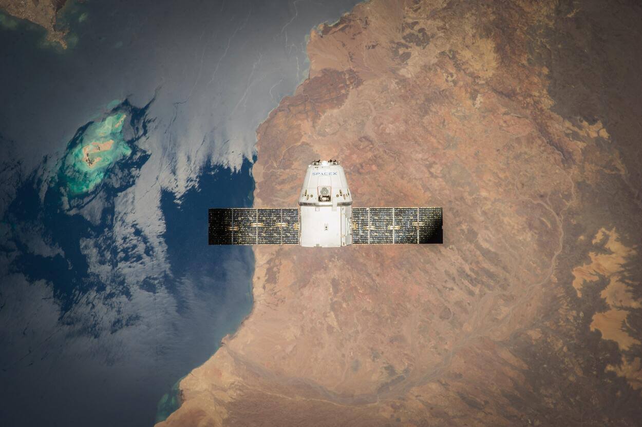
Satellite Imagery
Google Earth uses satellite imagery provided by various satellite operators, including NASA, the US Geological Survey, and DigitalGlobe. The satellite imagery is captured at different resolutions, depending on the capabilities of the satellite and the specific needs of the application.
Some satellites are able to capture high-resolution images that can show details as small as a few inches across, while others are limited to lower resolutions.
How to Find the Date of a Google Earth Image?
There are a few different methods for determining the date of a specific image on Google Earth:
Historical Imagery Feature
Google Earth includes a “Historical Imagery” feature that allows users to view previous versions of the imagery and maps for a particular location. To use this feature, simply right-click on the location in question and select “Historical Imagery” from the context menu.
A timeline will appear at the top of the screen, showing the available images for the location. You can then slide the timeline to the left or right to view the different images, and the date of each image will be displayed at the bottom of the screen.
Check the Metadata
Some images in Google Earth include metadata that provides information about the image, including the date it was captured.
To view the metadata for an image, right-click on the location and select “Properties” from the context menu. The metadata for the image will be displayed in a new window.
Consult External Sources of Information
In some cases, you may be able to determine the date of a Google Earth image by consulting external sources of information. For example, you could search online for news articles, historical records, or other sources of information that may provide context for the image.
You could also try contacting the satellite operator or aerial photography provider to see if they have information about the date of the image.

Tips for Identifying the Date of a Google Earth Image
There are a few tips that can help you identify the date of a specific image in Google Earth:
- Look for visible changes in the landscape: One way to determine the date of an image is to look for visible changes in the landscape. If you can see that certain features, such as buildings or roads, have been added or removed since the image was captured, this can provide a rough estimate of the age of the image.
- Compare the image to other sources of information: Another way to determine the date of an image is to compare it to other sources of information. You can try contacting the satellite operator or aerial photography provider to see if they have information about the date of the image.
| Method | Description |
| Historical Imagery | View previous versions of the imagery and maps for a particular location |
| Check metadata | View metadata for an image, including the date it was captured |
| External sources | Consult news articles, historical records, or other sources of information |
Limitations of Determining the Date of a Google Earth Image
There are a few limitations and challenges that can make it difficult to determine the date of a specific image on Google Earth:
- In some cases, the imagery in Google Earth may be outdated or of low quality, which can make it difficult to identify the date of the image.
- In some cases, images in Google Earth may be misdated, either due to an error in the metadata or because the date of the image has been intentionally altered. This can make it difficult to accurately determine the date of the image.
- Depending on the location and the source of the image, the availability of historical imagery may be limited. This can make it difficult to determine the date of an image if the “Historical Imagery” feature is not available or if there are only a few images available for the location.
- In some cases, there may be a lack of external sources of information that could help provide context for the image. For example, if the location is a remote or poorly documented area, it may be harder to find news articles, historical records, or other sources of information that could help determine the date of the image.

FAQs
How Do I Find the Date of a Specific Image in Google Earth?
To find the date of a specific image in Google Earth, you can use the “Historical Imagery” feature by right-clicking on the location in question and selecting “Historical Imagery” from the context menu.
A timeline will appear at the top of the screen, showing the available images for the location. You can then slide the timeline to the left or right to view the different images, and the date of each image will be displayed at the bottom of the screen.
Are all Images in Google Earth Up-to-date?
Not all images in Google Earth are up to date. The quality and currency of the imagery in Google Earth may vary depending on the source and the specific location. Some images may be more current than others, while others may be outdated or of low quality.
The “Historical Imagery” feature can be useful for viewing previous versions of the imagery and maps for a particular location and getting an idea of when an image was captured.
Can I See Images From Different Dates on Google Earth?
Yes, you can view images from different dates on Google Earth using the “Historical Imagery” feature.
To use this feature, simply right-click on the location in question and select “Historical Imagery” from the context menu.
Conclusion
- In conclusion, it’s generally possible to determine the date of a specific image in Google Earth, but there may be limitations and challenges that make it difficult to accurately identify the date in all cases.
- By using the “Historical Imagery” feature and consulting external sources of information, you can often get a good idea of when an image was captured.
- The availability of historical imagery and other sources of information may vary depending on the location and the source of the image.
- The quality and currency of the imagery in Google Earth may be affected by factors such as outdated or low-quality imagery and misdated images.
- Understanding the context in which an image was captured can be important for a variety of applications, such as research, planning, and historical analysis.
- By keeping these considerations in mind, you can get the most out of the program and make informed decisions based on the available information.
Related Articles
- Is There an Offline Version of Google Earth? (Must Know)
- Why Is Google Earth Not Working Online? [Actual Reason]
- How to View Google Earth Live? [Explained!]