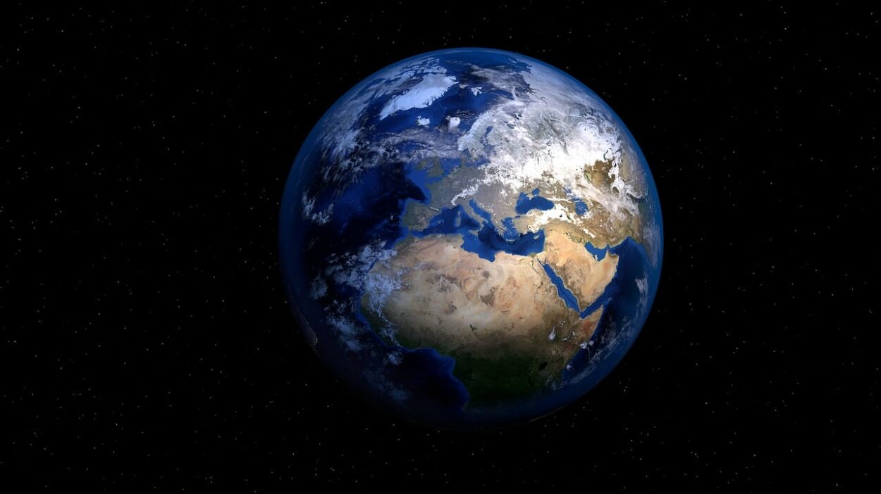
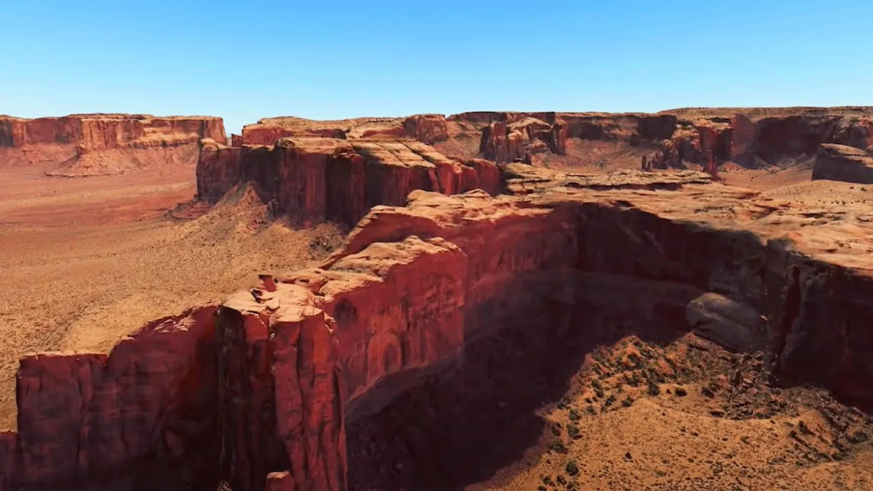
If you ever wished you could see the different places in the world then you can accomplish that with Google Earth now. Google Earth is an amazing virtual globe that allows you to explore the entire world from the comfort of your own home.
Now, with the introduction of the ‘Live’ feature, you can view the Earth in real-time and explore different parts of the world as if you were right there.
The app can be used to view maps of any location on the planet, as well as to search for specific addresses and landmarks.
In this blog post, we’ll show you how to get Google Earth live images and make the most of the experience.
What Features Does Google Earth Have?

Google Earth is a virtual globe, map, and geographical information program that provides a 3D representation of Earth based on satellite imagery. Some of the features of Google Earth are:
- It uses high-resolution satellite imagery to provide detailed views of locations around the world.
- Google Earth includes Street View, which allows users to explore locations on the ground by viewing panoramic street-level images.
- Google Earth includes a feature called “Historical Imagery” that allows users to view how a location has changed over time by accessing past satellite imagery.
- Google Earth includes a range of places and layers that provide information about different locations and topics, such as Wikipedia articles, location-based photos, and local businesses.
- It has measurement tools that allow users to measure distances and areas on the map.
- Google Earth includes a feature called “My Maps” that allows users to create custom maps and tours using a range of tools and resources.
- Integration with other Google products: Google Earth is integrated with other Google products, such as Google Maps and Google Street View, allowing users to easily switch between these tools and view different types of maps and imagery.
What Are Live Images?

Live images refer to real-time or near real-time images or video footage of a location or event. Live images can be captured using various technologies, such as cameras, drones, or satellite imagery, and are often used to provide updates and information about a location or event as it’s happening.
Live images can be streamed or broadcast to a wide audience using various media platforms, such as television, websites, or social media. They can also be accessed directly by users through live image feed services or applications.
Live images can be used for a variety of purposes, including news reporting, surveillance, entertainment, and personal communication. They can provide a sense of immediacy and allow users to experience events as they unfold, even if they aren’t physically present at the location.
How to Access Live Images on Google Earth?
There are several ways to access live images on Google Earth:
- Google Earth includes a feature called Street View, which allows users to explore locations on the ground by viewing panoramic street-level images. Street View images are updated regularly and are generally considered to be live images, although they may not be real-time. To access Street View in Google Earth, search for a location and then click on the “Street View” option in the toolbar or in the location’s info box.
- Some versions of Google Earth, such as Google Earth Pro and Google Earth Enterprise, allow users to access live satellite imagery. This feature is not available in all locations and is dependent on the availability of satellite imagery. To access live satellite imagery in Google Earth Pro or Google Earth Enterprise, select the “Live” option in the Imagery Type drop-down menu in the toolbar.
- Google Earth includes a feature called “Traffic” that allows users to view live traffic conditions on the map. To access live traffic in Google Earth, select the “Traffic” option in the toolbar or in the “Layers” panel.
- Google Earth includes a layer called “Webcams” that displays live images from webcams located around the world. To access the Webcams layer in Google Earth, select the “Webcams” option in the “Layers” panel.
Note: Some of these features may not be available in all versions of Google Earth or in all locations.
Benefits of Using Live Images on Google Earth
There are several benefits of using live images on Google Earth:
| Benefits | Briefly Explanation |
|---|---|
| Real-time or near real-time updates | Live images provide real-time or near real-time updates about a location or event, allowing users to stay informed about what’s happening as it happens. |
| Improved accuracy | Live images can provide more accurate and up-to-date information about a location compared to static images or map data. |
| Enhanced user experience | Live images can provide a more immersive and interactive experience for users, allowing them to feel like they are virtually present at a location or event. |
| Increased situational awareness | Live images can help users gain a better understanding of a location or event and make more informed decisions by providing a real-time or near real-time view of the situation. |
| Improved communication | Live images can facilitate communication and collaboration among users by allowing them to share and discuss events and locations as they happen. |
| Enhanced visualization | Live images can provide a more realistic and dynamic view of a location or event, allowing users to better visualize and understand the situation. |
Types of Live Images You Can Find on Google Earth
There are several types of live images that you can find on Google Earth:
- Some versions of Google Earth, such as Google Earth Pro and Google Earth Enterprise, allow users to access live satellite imagery. This feature isn’t available in all locations and is dependent on the availability of satellite imagery.
- Google Earth includes a feature called “Traffic” that allows users to view live traffic conditions on the map.
- Google Earth includes a layer called “Webcams” that displays live images from webcams located around the world.
- Google Earth includes a layer called “Weather” that displays live weather conditions and forecasts for different locations.
Note: Some of these features may not be available in all versions of Google Earth or in all locations.
Tips for Getting the Best Live Images on Google Earth
Make sure that you are using the latest version of Google Earth, as this will ensure that you have access to the latest features and live image feeds. Some live image layers, such as Street View, Traffic, and Weather, may not be enabled by default. To access these layers, go to the “Layers” panel and select the desired layer.
Live images may not be available in all locations or for all types of imagery. For example, live satellite imagery may not be available in all locations, and live webcam images may not be available in all locations.
Live images require a stable and fast internet connection to be displayed smoothly. If you are experiencing issues with the quality of the live images, try connecting to a faster internet connection.
Google Earth is available on a variety of devices, including computers, smartphones, and tablets. Some devices may not be compatible with certain features or live image feeds. If you are experiencing issues with live images, make sure that you are using a compatible device.
Google Earth is regularly updated with new features and live image feeds. To ensure that you have access to the latest live images, check for updates regularly and install any available updates.

Other Resources for Finding Live Images Other Than Google Earth
There are several other resources for finding live images in addition to Google Earth:
- Live streaming platforms: There are a number of live streaming platforms, such as YouTube Live, Twitch, and Facebook Live, that allow users to stream live video footage from their devices.
- News websites and apps: Many news websites and apps provide live video coverage of events and breaking news.
- Social media: Social media platforms, such as Twitter, Instagram, and Facebook, often feature live video streams of events and breaking news.
- Live image feed services: There are a number of live image feed services, such as EarthCam and Insecam, that provide live images from cameras located around the world.
- Satellite imagery services: There are a number of satellite imagery services, such as DigitalGlobe and Planet, that provide real-time or near real-time satellite imagery of locations around the world.
- Webcams: There are many websites and apps that provide live images from webcams located in various locations around the world.
- Drones: Some drones are equipped with cameras that can capture live video footage and transmit it to a device or platform.
Note: It’s important to be aware that some of these resources may not be reliable or may not provide accurate or up-to-date information. It’s also important to respect privacy and intellectual property rights when accessing and using live images from these sources.
FAQs
What Types of Live Images Are Available on Google Earth?
Google Earth provides a range of live images, including:
- Street View
- Live satellite imagery
- Live Traffic
- Live webcams
- Live weather
Are Live Images Available in all Locations on Google Earth?
Live images may not be available in all locations or for all types of imagery.
The availability of live images depends on the specific feature or layer and the availability of data and imagery.
Are There Other Resources for Finding Live Images in Addition to Google Earth?
Yes, there are a number of other resources for finding live images, such as live streaming platforms, news websites, social media, live image feed services, satellite imagery services, webcams, and drones.
It’s important to be aware that some of these resources may not be reliable or may not provide accurate or up-to-date information, and to respect privacy and intellectual property rights when accessing and using live images from these sources.
Conclusion
- Some of the live images available on Google Earth include Street View, live satellite imagery, live traffic, live webcams, and live weather.
- These live images can be accessed through various features and layers in Google Earth and can provide a more accurate and immersive view of a location or event.
- However, it’s important to be aware that live images may not be available in all locations or for all types of imagery, and that the quality and reliability of the live images may vary.
- There are also a number of other resources available for finding live images in addition to Google Earth, such as live streaming platforms, news websites, social media, live image feed services, satellite imagery services, webcams, and drones.
Other Articles
- Can You Use Google Earth Without Downloading It? [Find Out]
- How to Use Google Earth Online (A Beginner’s Guide)
- Is Google Earth Free? [Revealed!]

![Can You Get Live Images on Google Earth?[Answered]](https://gearthhacks.com/wp-content/uploads/2023/01/Iceland_1250x.png.webp)