![How Old Are the Images on Google Earth?[Revealed]](https://gearthhacks.com/wp-content/uploads/2023/01/Go-back-in-time-on-Google-Earth-screenshots-24-1-1.jpg)
![How Old Are the Images on Google Earth?[Revealed]](https://gearthhacks.com/wp-content/uploads/2023/01/Go-back-in-time-on-Google-Earth-screenshots-24-1-1.jpg.webp)
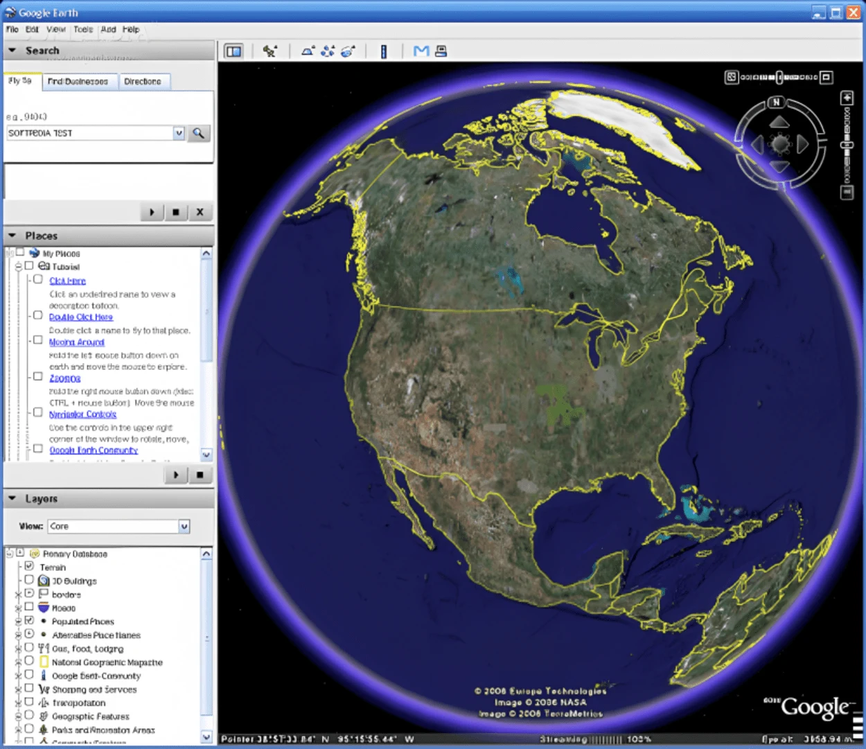
Google Earth is a powerful tool that allows us to explore and visualize the world from the comfort of our own devices. With its satellite imagery, aerial photography, and user-generated content, Google Earth offers a detailed and up-to-date view of the world.
But how old are the images on Google Earth, and how can we be sure that we are seeing the most current information? Understanding the age of the images on Google Earth can be important for a variety of reasons, whether you are a casual user looking to learn more about your surroundings or a professional relying on the program for your work.
In this blog post, we’ll delve into the sources of imagery and maps that Google Earth uses, and explore the factors that can affect the frequency of updates to the program. You’ll also get tips and techniques for checking the age of an image and discuss the limitations of determining the age of an image in Google Earth.
Sources of Imagery and Maps
Google Earth uses a variety of sources to provide its imagery and maps, including satellite imagery, aerial photography, and user-generated content. Satellite imagery is captured by cameras mounted on satellites orbiting the Earth, and it provides a bird’s-eye view of the surface of the planet.
Aerial photography is taken from aircraft, and it can offer a higher resolution and more detailed view of the ground. User-generated content includes images and maps created by users of Google Earth and Google Maps, such as Street View images and My Maps.
These sources of imagery and maps can provide a comprehensive and up-to-date view of the world, but the quality and currency of the information may vary depending on the source and the location.
Understanding the sources of imagery and maps used by Google Earth can help you get a better idea of the age and reliability of the information in the program.
How to Check the Age of an Image?


There are a few methods you can use to check the age of an image on Google Earth:
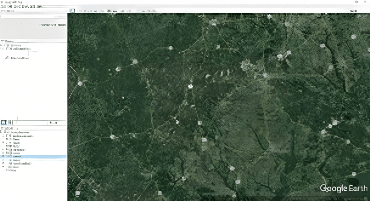
- “Historical Imagery” feature: To use this feature, right-click on the location in question and select “Historical Imagery” from the context menu. A timeline will appear at the top of the screen, showing the available images for the location. You can then slide the timeline to the left or right to view the different images, and the date of each image will be displayed at the bottom of the screen. If there are newer images available, they will be shown at the right end of the timeline.
- Check metadata: Another way to check the age of an image is to check the metadata for the image. To do this, right-click on the location and select “Properties” from the context menu. This will open the “Properties” window, which will show you information about the image, including the date it was captured. If there is newer imagery available, it’ll not be reflected in the metadata.
By using these methods, you can get an idea of when an image was captured and whether there are newer images available. However, it’s important to note that the availability of historical imagery and other sources of information may vary depending on the location and the source of the image.
In some cases, it may not be possible to determine the exact date of an image or to access newer images.
Tips for Identifying the Age of an Image
Here are some tips for identifying the age of an image on Google Earth:
- One way to determine the age of an image is to look for changes in the landscape that may have occurred since the image was captured. This could include new buildings, roads, or other structures, or changes in the natural environment such as the growth or removal of trees.
- You can also try comparing the image in Google Earth to other sources of information, such as maps or aerial photography from other sources, to get an idea of the age of the image. This can help you verify the accuracy and currency of the information on Google Earth.
- As mentioned earlier, you can also check the metadata for an image to see when it was captured. This can be a useful way to determine the age of an image, although it’s important to note that the metadata may not always be accurate or complete.
- The “Historical Imagery” feature in Google Earth can be a useful tool for viewing previous versions of the imagery and maps for a particular location and getting an idea of when an image was captured.
Limitations of Determining the Age of an Image

There are a few limitations to consider when determining the age of an image on Google Earth:
- Availability of historical imagery: Depending on the location and the source of the imagery, it may not be possible to access historical imagery or previous versions of the maps. This can make it difficult to determine the exact age of an image or to see how an area has changed over time.
- Accuracy of metadata: The metadata for an image may not always be accurate or complete, and it may not reflect any updates or newer images that are available.
- User-generated content: User-generated content, such as Street View images and My Maps, may not always be up-to-date or accurate. It’s important to verify the reliability of this type of content before relying on it.
- Variability of sources: The quality and currency of the imagery and maps in Google Earth may vary depending on the source and the location. Some images may be more current than others, while others may be outdated or of low quality.
Despite these limitations, there are still ways to get a general idea of the age of an image in Google Earth and to verify the accuracy and currency of the information in the program.
How Old Are the Images on Google Earth?
Google Earth offers a detailed and up-to-date view of the world. But how old are the images on Google Earth, and how can you be sure that you are seeing the most current information?
The age of the images on Google Earth can vary depending on the location and the source of the imagery. Some images may be more current than others, while others may be outdated or of low quality. Google Earth uses a variety of sources to provide its imagery and maps, including satellite imagery, aerial photography, and user-generated content.
Satellite imagery is captured by cameras mounted on satellites orbiting the Earth, and it provides a bird’s-eye view of the surface of the planet. Aerial photography is taken from aircraft, and it can offer a higher resolution and more detailed view of the ground. User-generated content includes images and maps created by users of Google Earth and Google Maps, such as Street View images and My Maps.
| Source of Imagery | How Often Updated | Limitations |
| Satellite Imagery | Variable | The resolution may be lower than other sources |
| Aerial Photography | Variable | It may not be available for all locations |
There are a few ways you can check the age of an image on Google Earth. One method is to use the “Historical Imagery” feature.
You can also check the metadata for an image to see when it was captured. Another way to determine the age of an image is to look for visible changes in the landscape.
Despite these methods, there are still limitations to consider when determining the age of an image on Google Earth. The availability of historical imagery and other sources of information may vary depending on the location and the source of the image
Additionally, the metadata for an image may not always be accurate or complete, and user-generated content may not always be up-to-date or reliable.
FAQs
How Often Does Google Earth Update its Images?
The frequency of updates to the images and maps in Google Earth can vary depending on the location and the source of the imagery. Some images may be updated more frequently than others, while others may not be updated as frequently or may not be available at all.
Factors that can affect the update frequency include the availability of new imagery and maps, the capabilities of the satellite and aerial photography equipment, and the demand for updated content.
Can I View Previous Versions of the Imagery on Google Earth?
Yes, you can view previous versions of the imagery and maps in Google Earth using the “Historical Imagery” feature. To use this feature, right-click on the location in question and select “Historical Imagery” from the context menu.
A timeline will appear at the top of the screen, showing the available images for the location. You can then slide the timeline to the left or right to view the different images, and the date of each image will be displayed at the bottom of the screen.
Can I Trust the Metadata for the Images in Google Earth?
While the metadata for an image can provide useful information about when it was captured, it’s important to note that the metadata may not always be accurate or complete.
The metadata may not reflect any updates or newer images that are available, and it may not always be possible to verify the accuracy of the metadata. It’s always a good idea to verify the reliability of the information in Google Earth before relying on it.
Is User-generated Content in Google Earth Up to Date and Reliable?
User-generated content, such as Street View images and My Maps, may not always be up-to-date or accurate.
It’s always a good idea to cross-reference it with other sources of information to get a more complete and accurate understanding of the location in question.
Conclusion
- In conclusion, the images on Google Earth are constantly being updated and refreshed, with newer images being added and older images being replaced.
- The age of the images can vary greatly, depending on the location and the level of detail.
- Some areas may have recently updated images, while others may have images that are several years old. Despite this, Google Earth is still a valuable tool for exploring the world and gaining a better understanding of the earth’s geography.
- It’s important to keep in mind that the images on Google Earth are not always up-to-date and should not be used for critical decision-making or navigation.
Related Articles
- How did Google Create Google Earth? (History Tour)
- Why Google Earth is so Out-Dated? [Answered]
- How do I Get Up-to-date Google Earth Images? (Discussion)