![Where Does Google Earth Get its Data? [Revealed]](https://gearthhacks.com/wp-content/uploads/2023/01/Sikkim_1250x-1.png)
![Where Does Google Earth Get its Data? [Revealed]](https://gearthhacks.com/wp-content/uploads/2023/01/Sikkim_1250x-1.png.webp)
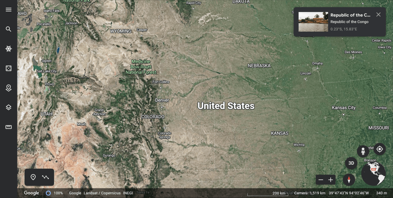
Google Earth obtains its data from a variety of sources, including satellite imagery, aerial photography, and other types of data.
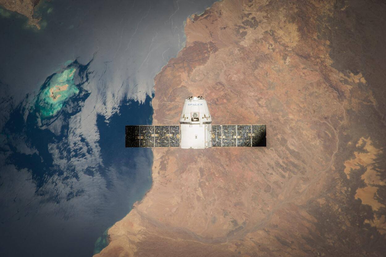
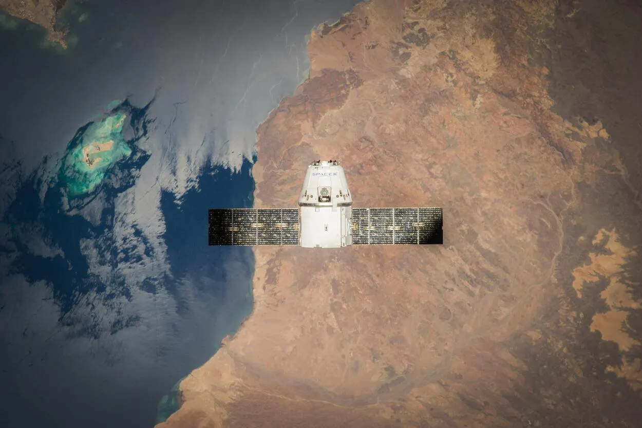
Satellite imagery is one of the primary sources of data for Google Earth. Google Earth uses satellite imagery from various sources, including the Landsat program, which is a joint effort between the US Geological Survey and NASA.
Google Earth also integrates data from other sources, such as geological and topographic data, to create a more complete and accurate representation of the earth’s surface. This includes data on elevation, land use, and other features of the earth’s surface.
In this blog post, we’ll explore Where does Google Earth get its data?
What Kind of Data Does Google Earth Use?
Google Earth uses a variety of data types to create detailed and accurate maps of the earth’s surface. Some of the types of data that Google Earth uses include:
- Google Earth uses satellite imagery from various sources, including the Landsat program, to create detailed maps and satellite images of the earth’s surface. These images are captured in a variety of wavelengths, including visible and infrared light, and are used to create detailed maps of the earth’s surface.
- Google Earth also uses aerial photography to provide detailed views of the earth’s surface. This includes images taken from airplanes and other aircraft, as well as images taken from drones and other flying vehicles.
- Google Earth includes topographic data, which is used to create detailed maps of the earth’s surface, including information on elevation and other features of the earth’s surface.
- Google Earth also includes data on land use, which can be used to see how different areas are being used, such as for agriculture, forestry, or urban development.
- Google Earth includes geological data, which can be used to view information on the earth’s surface, such as the locations of mountains, valleys, and other features.
How Is Google Earth Data Updated?
Google Earth data is updated on a regular basis to ensure that the information displayed in the app is as accurate and up-to-date as possible. Google Earth uses a variety of methods to update its data, including satellite imagery and aerial photography.
Satellite imagery is one of the primary sources of data for Google Earth, and new images are added to the app on a regular basis. Google Earth uses satellite imagery from various sources, including the Landsat program, which is a joint effort between the US Geological Survey and NASA.
The Landsat satellites capture images of the earth’s surface in a variety of wavelengths, including visible and infrared light. These images are used to create detailed maps and satellite images of the earth’s surface and are updated on a regular basis to ensure that the information displayed on Google Earth is current.
In addition to satellite imagery, Google Earth also uses aerial photography to update its data. This includes images taken from airplanes and other aircraft, as well as images taken from drones and other flying vehicles.
These images are used to provide detailed views of the earth’s surface and are updated on a regular basis to ensure that the information displayed on Google Earth is current.
Overall, Google Earth uses a variety of methods to update its data and ensure that the information displayed in the app is as accurate and up-to-date as possible.
What Types of Data Are Available on Google Earth?
Google Earth provides a wide range of data that users can view and explore. Some of the types of data that are available on Google Earth include:
| Satellite imagery | Google Earth provides detailed satellite images of the earth’s surface, which can be used to view various features of the earth’s surface, including topography, land use, and other features. |
| Aerial photography | Google Earth also includes aerial photography, which provides detailed views of the earth’s surface. This includes images taken from airplanes and other aircraft, as well as images taken from drones and other flying vehicles. |
| Topographic data | Google Earth includes detailed topographic data, which can be used to view information on the earth’s surface, including elevation, land use, and other features. |
| Land use data | Google Earth includes data on land use, which can be used to see how different areas are being used, such as for agriculture, forestry, or urban development. |
| Geological data | Google Earth includes geological data, which can be used to view information on the earth’s surface, such as the locations of mountains, valleys, and other features. |
| Other data | In addition to the data types listed above, Google Earth also includes data on transportation networks, weather patterns, and other features of the earth’s surface. |
How Accurate Is Google Earth Data?
Google Earth data is generally very accurate, but it’s important to note that the accuracy of the data may vary depending on the source and the location.
Google Earth uses a variety of data sources. These data sources are generally very accurate, but the accuracy of the data may vary depending on the specific source and the location.
For example, satellite imagery may be more accurate in some areas than in others, and aerial photography may be more accurate for some locations than for others.
In addition, it’s important to note that Google Earth data may not be real-time. This means that the data displayed in the app may not reflect the most current information available. For example, satellite imagery may be several months or years old, and other types of data may also be out of date.
Overall, Google Earth data is generally very accurate, but it’s important to consider the source and the age of the data when using the app. If you are relying on Google Earth data for important decisions or activities, it’s a good idea to verify the accuracy of the data with other sources.
What Are the Benefits of Using Google Earth Data?
There are many benefits to using Google Earth data, including the ability to:
- Explore the world: Google Earth provides detailed maps and images of the earth’s surface, allowing users to explore and learn about different locations around the world.
- See how an area has changed over time: Google Earth’s Time feature allows users to view images from different times and see how an area has changed over time. This can be useful for learning about history, geography, and the world around us.
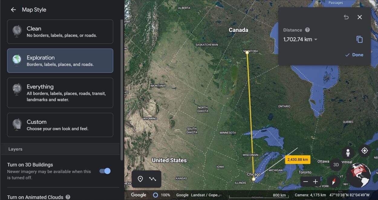
- Plan and navigate: Google Earth can be used to plan and navigate different routes, including driving, walking, or biking routes. The app also includes data on transportation networks, such as roads and highways, which can be useful for planning and navigating.
- Understand the environment: Google Earth includes data on the earth’s surface, including topography, land use, and other features. This data can be useful for understanding the environment and how different areas are being used.

What Are the Drawbacks of Using Google Earth Data?
While Google Earth is a useful tool with many benefits, there are also a few drawbacks to using its data:
- Google Earth data may not be real-time, which means that the data displayed in the app may not reflect the most current information available. This can be an issue if you are relying on Google Earth data for important decisions or activities.
- The accuracy of Google Earth data may vary depending on the source and the location.
- Google Earth data may not be available for all locations around the world, particularly in areas with limited access or where data collection is difficult.
- Google Earth includes detailed maps and images of the earth’s surface, which can raise privacy concerns for some users. If you are concerned about your privacy, it’s a good idea to familiarize yourself with the privacy settings in the app and take steps to protect your privacy when using the app.
FAQs
Where Does Google Earth Get its Data?
Google Earth obtains its data from a variety of sources, including satellite imagery, aerial photography, and other types of data.
These data sources are used to create detailed and accurate maps of the earth’s surface, which can be viewed and explored by users.
Is Google Earth Data Real-time?
Google Earth data is generally not real-time, which means that the data displayed in the app may not reflect the most current information available.
The age of the data may vary depending on the source and the location.
Is Google Earth Data Accurate?
Google Earth data is generally very accurate, but the accuracy of the data may vary depending on the source and the location.
If you are relying on Google Earth data for important decisions or activities, it’s a good idea to verify the accuracy of the data with other sources.
Are there any Privacy Concerns With Using Google Earth?
Google Earth includes detailed maps and images of the earth’s surface, which can raise privacy concerns for some users.
If you are concerned about your privacy, it’s a good idea to familiarize yourself with the privacy settings in the app and take steps to protect your privacy when using the app.
Conclusion
- Google Earth is a powerful tool that allows users to explore the world from the comfort of their own computer or mobile device.
- Google Earth obtains its data from a variety of sources, including satellite imagery, aerial photography, and other types of data.
- These data sources are used to create detailed and accurate maps of the earth’s surface, which can be viewed and explored by users.
- Google Earth data is generally very accurate, but the accuracy of the data may vary depending on the source and the location.
- It’s important to note that Google Earth data may not be real-time and may not be available for all locations around the world.
- Despite these limitations, Google Earth is a useful tool that provides a wealth of data that can be used to explore the world, view detailed information, see how an area has changed over time, plan and navigate, and understand the environment.