Google Earth is a software program that allows users to explore and interact with a virtual globe and map of the Earth.
The satellite imagery and aerial photography used by Google Earth are typically captured over a period of time, and it can take some time for the images to be processed and made available on the Google Earth platform.
As a result, the images you see on Google Earth may not always reflect the current state of the locations depicted.
Google Earth has a number of features that allow users to interact with and explore the virtual globe and map the Earth in a number of different ways. Some of the main features of Google Earth include:
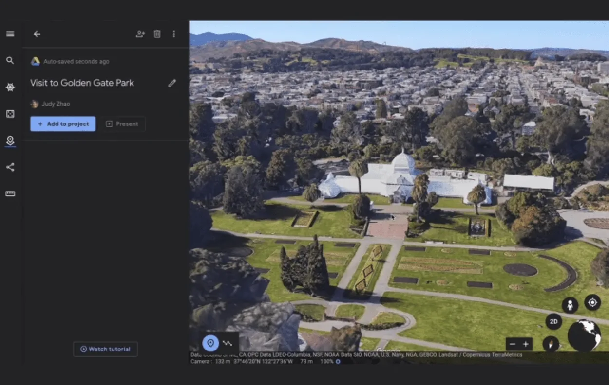
Google Earth provides detailed satellite imagery and aerial photography for locations around the world, allowing users to see the Earth from above and get a sense of the layout and geography of different places.
Google Earth includes a feature called “Historical Imagery” that allows users to view older satellite images of locations from previous years, dating back decades in some cases.
Google Earth includes tools that allow users to measure distances and areas on the map, making it useful for tasks such as measuring the size of a property or calculating the distance between two points.
Google Earth allows users to create and share custom maps and placemarks, which can be used to mark locations of interest or highlight specific areas on the map.
Google Earth includes a feature that suggests locations and points of interest to users based on their past searches and interactions with the app.
How Does Google Earth Work?
When you open Google Earth, you are presented with a 3D globe showing the Earth’s surface. You can navigate around the globe by clicking and dragging to move the view, or by using the navigation controls on the side of the screen.
You can zoom in and out by using the mouse wheel or the zoom controls on the side of the screen.
A youtube video on exploring google earth live?
Google Earth uses satellite imagery and aerial photography to provide detailed views of the Earth’s surface. These images are stitched together to create a seamless, high-resolution map of the Earth’s surface.
In many cases, Google Earth also includes 3D terrain data that allows users to see the Earth’s surface in three dimensions, including hills, valleys, and buildings in some major cities.
Google Earth also includes a number of features that allow users to interact with and explore the map in different ways. For example, users can search for specific locations or addresses and view them on the map, or use measurement tools to measure distances and areas on the map.
Overall, Google Earth provides an interactive and immersive way to explore and learn about different parts of the world and is used for a wide range of purposes, including education, research, travel planning, and simply exploring and learning about different parts of the world.
Is Google Earth Really Live?
Google Earth uses satellite imagery and aerial photography to provide detailed views of the Earth’s surface. While the images and data used by Google Earth are regularly updated, they are not live in the sense that they are not being transmitted in real-time from satellites or aircraft.
The satellite imagery and aerial photography used by Google Earth are typically captured over a period of time, and it can take some time for the images to be processed and made available on the Google Earth platform.
As a result, the images you see on Google Earth may not always reflect the current state of the locations depicted.
In addition, Google Earth includes a feature called “Historical Imagery” that allows users to view older satellite images of locations from previous years, dating back decades in some cases. This can be useful for seeing how locations have changed over time.
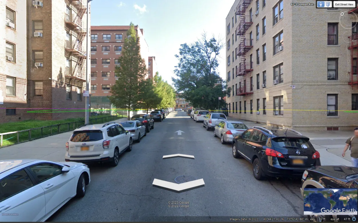
You can know when the image was taken by taking a look at the status bar
Overall, while Google Earth is not a live feed of the Earth’s surface, it provides a detailed and up-to-date view of the Earth’s surface in most cases and can be a useful tool for exploring and learning about different parts of the world.
Pros and Cons of Google Earth
Like any software program, Google Earth has both benefits and drawbacks. Some of the main pros and cons of Google Earth are:
Pros
Detailed satellite imagery
Google Earth provides high-resolution images of the Earth’s surface that allow users to see detailed views of different locations.
3D terrain
In many major cities, Google Earth allows users to view 3D terrain and buildings, providing a more realistic and immersive experience when exploring these areas.
Historical imagery
Google Earth includes a feature called “Historical Imagery” that allows users to view older satellite images of locations from previous years, dating back decades in some cases.
Measurement tools
Google Earth includes tools that allow users to measure distances and areas on the map, making it useful for tasks such as measuring the size of a property or calculating the distance between two points.
Custom maps
Google Earth allows users to create and share custom maps and placemarks, which can be used to mark locations of interest or highlight specific areas on the map.
Pros of google earth
Cons
The satellite imagery and aerial photography used by Google Earth are typically captured over a period of time, and it can take some time for the images to be processed and made available on the Google Earth platform. As a result, the images you see on Google Earth may not always reflect the current state of the locations depicted.
While Google Earth provides detailed imagery for many locations around the world, there are some areas where the coverage is less comprehensive or of lower quality. This can be due to a variety of factors, including the availability of satellite imagery and the resolution of the images.
Google Earth can be a resource-intensive program, and it requires a significant amount of disk space to install and run. This can be an issue for users with limited storage space on their devices.
Some users may have concerns about the collection and use of their data when using Google Earth. Google has implemented measures to protect user privacy, but some users may still have concerns about the potential for their data to be shared with third parties or used for targeted advertising.
Tips for getting the most out of Google Earth
If you want to get the most out of Google Earth, here are a few tips to consider:
Google Earth includes a search bar that allows you to search for specific locations or addresses. This is a quick and easy way to find the place you’re looking for, and you can use the search bar to search for landmarks, businesses, addresses, and more.
Google Earth includes a number of different views that you can use to explore the map. Each of these views provides a different perspective on the map and can be useful for different purposes.
Google Earth includes tools that allow you to measure distances and areas on the map. This can be useful for tasks such as measuring the size of a property or calculating the distance between two points.
The “Layers” menu in Google Earth includes a number of additional layers of information that you can add to the map, such as weather data, traffic data, and information about points of interest. These layers can be useful for getting a more detailed understanding of the map and can be turned on and off as needed.
Overall, by taking advantage of the various features and tools available in Google Earth, you can get a more comprehensive and detailed view of the world and explore a wide range of locations in an interactive and immersive way.
Use the search bar to search specific locations
FAQs
What Is Google Earth?
Google Earth is a software program that allows users to explore and interact with a virtual globe and map of the Earth.
It provides detailed satellite imagery, aerial photography, and 3D terrain data for a wide range of locations around the world, and allows users to view and navigate through these images and data in a number of different ways.
Is Google Earth Really Live?
Google Earth uses satellite imagery and aerial photography to provide detailed views of the Earth’s surface.
While the images and data used by Google Earth are regularly updated, they are not live in the sense that they are not being transmitted in real-time from satellites or aircraft.
How Often Are the Satellite Imagery and Aerial Photography on Google Earth Updated?
The satellite imagery and aerial photography used by Google Earth are regularly updated, but the frequency of updates varies depending on the location and the type of imagery being used.
Some areas are updated more frequently than others, and the resolution of the images can also vary.
Conclusion
Google Earth uses satellite imagery and aerial photography to provide detailed views of the Earth’s surface.
While the images and data used by Google Earth are regularly updated, they aren’t live in the sense that they aren’t being transmitted in real-time from satellites or aircraft.
The satellite imagery and aerial photography used by Google Earth are typically captured over a period of time, and it can take some time for the images to be processed and made available on the Google Earth platform. As a result, the images you see on Google Earth may not always reflect the current state of the locations depicted.
While Google Earth isn’t a live feed of the Earth’s surface, it provides a detailed and up-to-date view of the Earth’s surface in most cases and can be a useful tool for exploring and learning about different parts of the world.
![Is Google Earth Really Live? [Revealed]](https://gearthhacks.com/wp-content/uploads/2022/12/G_Earthe_1250x.png)
![Is Google Earth Really Live? [Revealed]](https://gearthhacks.com/wp-content/uploads/2022/12/G_Earthe_1250x.png.webp)