

Google Earth is a popular software that provides its users to create, view, explore, and interact. This program can be used for many purposes, but it’s known to be highly useful for containing accurate geographic data, which can be used to get a sense of the layout of locations around the world.
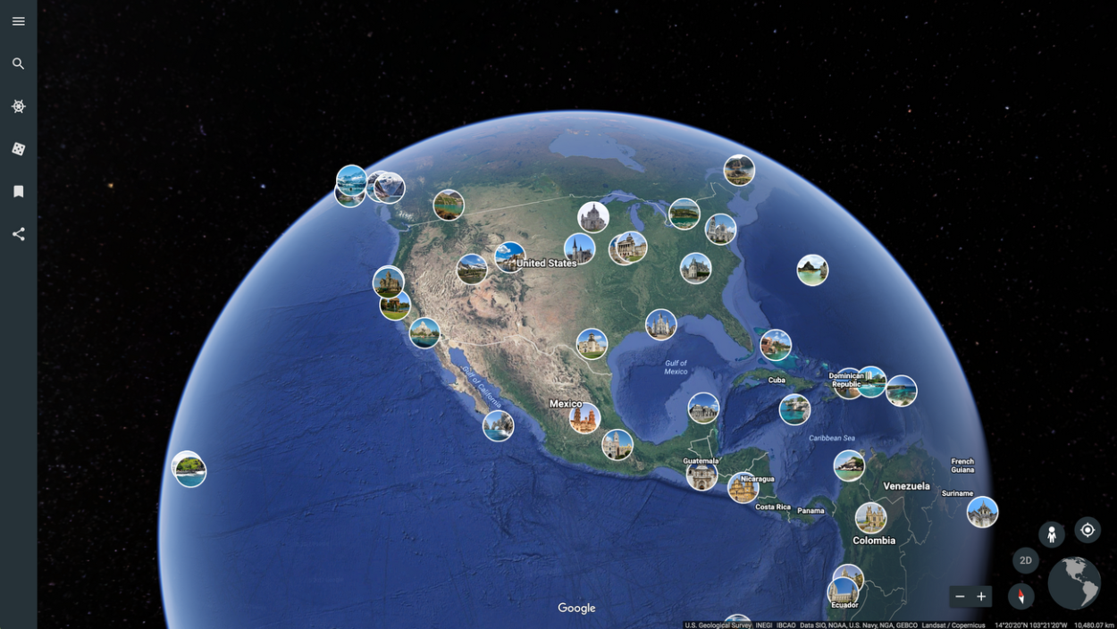
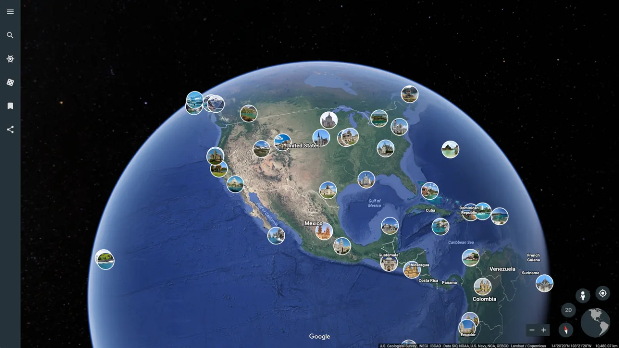
Google Earth is the hub of imagery data as it retains its data from several different sources which include satellites and aircraft. The imagery data are available in aerial photography, satellite imagery, 3D, and street view, you can use this imagery for different purposes, for instance, satellite imagery can help you see a location from a wider oblique, while aerial photography can provide detailed imagery.
In addition, what’s great about Google Earth is that, it’s free software, and you can download it via the app store, Google Earth is providing an immense amount of useful data for free to its users, so how can it not be of benefit?
If you want to know about the features and what you can do with them, keep on reading.
Why You Should Use Google Earth?
Google Earth is a 3D representation of the globe, you can interact and explore by using its features. Furthermore, there’re many reasons to use Google Earth as it provides an immense amount of geographic information and imagery data.
It’s easy to use and you can download it via the app store or just use the browser version. Google Earth is an excellent platform for some inquiry-based activities, it’s also great for educational use as it may be able to cover a wide range of topics.
In addition, you can use it to research as it offers a wide range of data from different sources, you can also create your own data and display it.
Who Can Use Google Earth?

Google Earth is rather easy to use once you learn about its features, it can be useful for students as it contains geographic data, and other information which may apply to several topics of geoscience as well as other educational settings.
Mind you, all this information is in three-dimension, so it can help you comprehend the concepts that fall under subjects with geographic contents such as engineering, art, and history.
Furthermore, Google Earth allows you to browse, explore, and engage individually or in teams, you can do your homework or just use it for fun to learn about the locations around the world. You can also create your own data and save it in KMZ format in files, or you can save them in image format for presentations or reports.
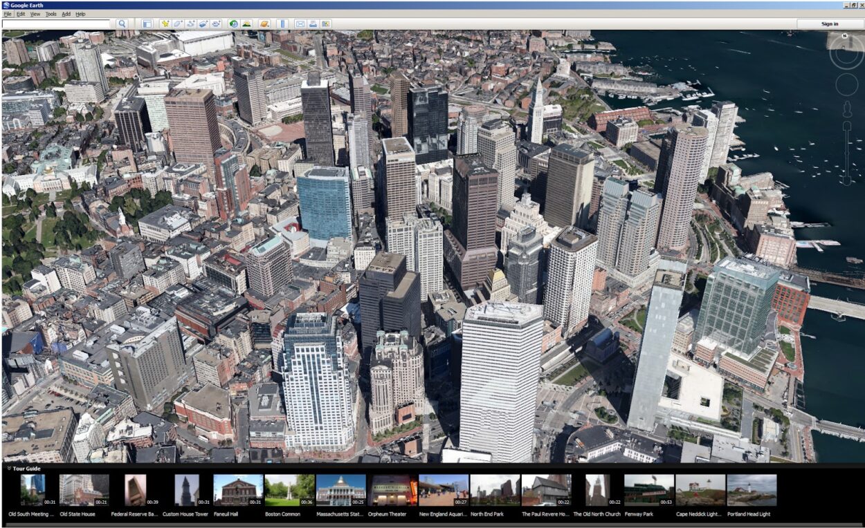
Civil engineers can also take advantage of this software as it provides updated and latest information about construction areas with the actual surrounding environment, now this way the engineers can visualize and plan which may just say you a lot of time and money.
Google Earth includes a feature that lets you measure distance and area, so engineers can take advantage of it by measuring perimeters and the area of a certain location.
Besides that, as Google Earth provides a 3D view, you can use it to get a sense of the layout of the location and as aerial photography captures images at a lower angle, it’ll allow you to see the location in far more detail.
Can You Teach With Google Earth?
Google Earth can be used for so many purposes, while students can use it for inquiry-based activities, teachers can use its graphics for presentations and even lectures in classes. In addition, teachers can also research a topic of subjects like History or geoscience, and include electronic presentations, printed maps, and graphics.
Google Earth is considered one of the best research tools, and the imagery data collected throughout the years is itself of high use. Google Earth has been accumulating imagery data for many years with the help of different providers and platforms that include satellites and aerial photography.
The imagery data is updated once a month, but not all of it. It depends on the location, and whether an image is updated or not, you might see some of the imagery one to three years old.
You can check how old imagery is by using the “Historical Imagery” option or by checking the metadata.
Check out this video to see how you can use Google Earth in your classroom:
Advantages And Disadvantages Of Google Earth
Google Earth is highly developed, it uses different sources of data in order to be accurate and detailed, and almost everyone can take advantage of its features,
While Google Earth is an incredible invention, it comes with advantages as well as disadvantages, check out the table below:
| Advantages | Disadvantages |
| It’s a free software | Imagery may be of low resolution in certain locations |
| Available on a wide range of devices | Requires fast internet connection |
| Provides up-to-date maps and data | Requires high processing power and memory |
| Detailed and accurate | Some areas aren’t visible, as those are restricted locations which may include military bases |
| Can view the world in 3D | – |
| Available in more than 40 languages | – |
| Can be used for many purposes including educational | – |
| Provides unique features | – |
Well, it certainly is clear that there are more advantages of Google Earth than disadvantages. The features that are provided by Google Earth are of great use, you won’t only learn, but can also have fun with them and explore the world.
This program allows the user to have an immersive, educational, and interactive experience, from students to engineers, everyone can use Google Earth.
FAQs
What Is Google Earth?
Google Earth is a GIS, albeit not a true one, it’s a 3D representation of the globe with the most detailed and accurate information. Google Earth has been gathering imagery from many providers, including satellites, aircraft, and maps available on Google.
In addition, Google Earth offers features that very few programs provide, which can be useful for education and work purposes. It’s free software, that can be downloaded through the app store of your device.
How Can I Use Google Earth?
Google Earth provides an expansive set of features that are highly developed, it can be used for many purposes, you can use its features to plan, explore, and visualize.
The imagery provided by Google Earth is updated once a month, so if you are into construction, it’ll just be the program that can help you view potential locations.
In addition, teachers and students can also use Google Earth to learn about places around the world or for presentations.
Is There Any Disadvantage Of Google Earth?
While, Google Earth is considered one of the best programs to use for planning, visualization, exploration, and education, it may lack somewhere, which could interrupt your otherwise great experience.
Google Earth requires a high amount of processing power and memory, so you would have to close all the tabs and apps for it to work properly, moreover, you also need a fast and stable internet connection.
Google Earth may not update all of its data every month, some of the data may be one to three years old, it depends on the location and the source.
Conclusion
- Google Earth is a huge platform, which can be used for many reasons including education and construction.
- As Google Earth collects data from different sources, it has an immense collection of imagery, you can use that to get a better sense of the layout of the location.
- Google Earth can be used by students, engineers, geologists, and even teachers, it provides many features that are highly useful.
- While students can use Google Earth for some inquiry-based activities, engineers can use its features to measure the perimeters of a potential area and see the surroundings with the help of its 3D view.
- In addition, Google Earth may cover certain topics from subjects like geoscience and history or art.
- Teachers can use Google Earth for a presentation as it would help the students understand the topics easily.
- Google Earth isn’t all good, there’re some aspects that it lacks, for instance, it requires a fast and stable internet connection to perform well. Besides that, some of the imagery may be one to three years old.
- All and all, Google Earth is an exceptional software, which can help you with work and homework.
Other Articles
- How Do You Go Back in Time on Google Earth Mobile? [Step-by-Step Guide]
- How Do I See Different Years in Google Earth on iPhone? [Find Out]
- How Do You Get a Live View on Google Earth? [Step-by-Step Guide]