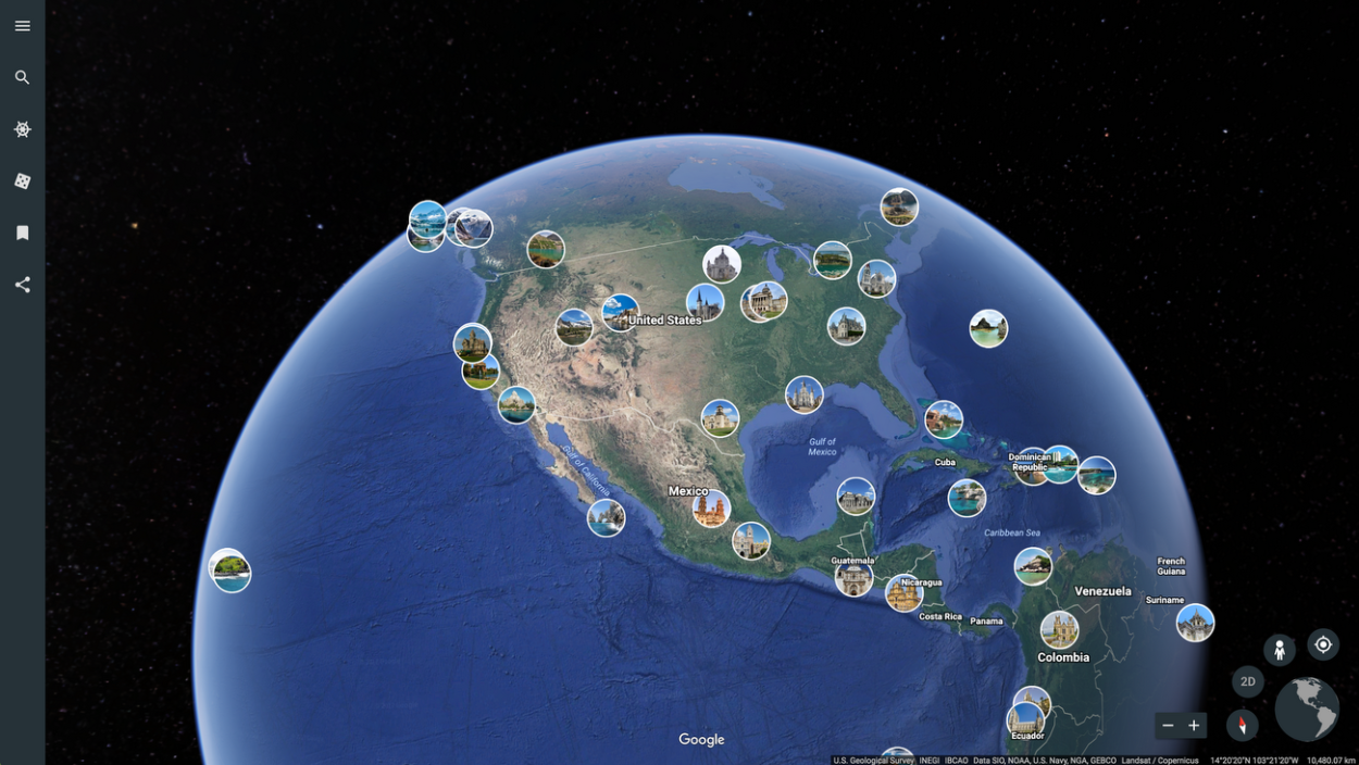
Google Earth provides a 3D representation of the Earth’s surface, it was launched in 2001 by Google. Google Earth is an interactive program, where users can take advantage of the features to learn, explore, plan, and visualize.
Google Earth is a huge program, that has been accumulating data from different sources which includes satellites, aircraft, and maps. The imagery on Google Earth is mostly collected from satellite imagery, which is updated every month, however not all, some of the imagery may be one to three years old.
Google Earth offers a bunch of features that can be used for several reasons by different users, for instance, students can use the “Voyager” feature to learn about different parts of the world as it provides guided tours and quizzes about the place.
Google Earth is a highly developed program, however, is it accurate? Well, keep on reading to find out.
How Accurate Is Google Earth?
Google Earth is a program, developed by Google, it uses almost all the reliable sources that are on Google to collect its data, in addition, it also uses satellite imagery and aerial photography to get the most accurate and detailed imagery.
The imagery data is obtained by cameras attached to satellites and aircraft, however, why does Google need both of these sources? Well, there’re small differences between satellite imagery and aerial photography.
While Satellite imagery is taken from a wider angle, it covers a large area, which can be great for some large-scale operations, Aerial photography on the other hand, includes imagery captured at a lower altitude, which can be ideal for commercial applications, these images are also in much detailed as compared to satellite imagery.
Check out the table below to understand the differences between satellite imagery and aerial photography:
| Aerial Imagery | Satellite Imagery | |
| Taken With | Camera systems on aircraft, including planes and drones | Electronic scanners of satellites |
| Imagery Feature | Vertical, High, and Low Angle | Visible, Infrared, and Water Vapor |
| Suitable For | Commercial applications for different kinds of industries that may range from construction and real estate to insurance and urban planning | Large-scale scientific operations |
| Qualities | More detailed and accurate | Covers a wider area |
Why Is Google Earth Good For Students?
Google Earth can be of high use to students as it comes with features that are specially designed for users to learn about different places around the world. The most known and useful feature is “Voyager” as it offers guided tours and quizzes, which can help the students learn easily.
Furthermore, Google Earth can help you come up with classroom activities and can provide links to reliable resources, that will help the students understand the concepts in depth Google Earth will offer virtual illustrations, and it’ll grab the attention of students, this way they’ll find learning interesting.
Here’s a list of some ideas for classroom implementation:
- You can use the “Voyager” feature for some high-quality guided tours with quizzes about the searched location. This way, you’ll cover the material that includes travel, nature, culture, sports, history, science, and more.
- The “Feeling Lucky” feature takes you to random places around the world, so it can be fun as well as educational to show the students.
- The “Measure Distance and Area” feature teaches the students about measuring tools and how you can calculate the height of mountains.
- Furthermore, the “Street View” feature can be used to walk around in the streets of a foreign city, and learn about the geography of these cities.
- Historical Imagery collected by Google Earth can teach students about the history of certain places.
Check out this video and learn how you can use Google Earth for your homework or learning material:
What Is The Use Of The Google Earth?
Google Earth is the most popular and widely used GIS, however, it isn’t considered a true Geographic Information System. It provides the ability to its users to create, store, view, engage, and interact with the data available on it about places around the world.
In addition, as Google Earth is built with a multipurpose layout, and extensive toolset, it can provide a diverse user base, which may include education, real estate, insurance, government, and construction, as well as several private consumers.
Google Earth is known for many features, but the most popular one is the one in which the user can travel back in time, you can go more than 40 years back on Google Earth.
All you have to do is go to “Voyager” and click on “Timelapse in Google Earth”, it’ll then show you a panel on the right side of the screen, you’ll have time slide there so you have to slide it left and right to see imagery from different years. There will also be a search bar, you can use it to search the place and then travel back in time.
Does Google Earth Update Its Data?
Google Earth is the hub of geographic data, it collects data from all kinds of sources including satellites, aircraft, and maps. You see a large collection of imagery accumulated throughout the years from different providers and platforms.
However, how often does Google Earth updates its data? Well, according to the information, Google Earth has been updating its data once a month, nevertheless there might be some data, that isn’t updated as often, this data could be one to three years old.
It mostly depends on the location whether the imagery is updated or not, you can see the date an image was captured by using the “Historical Imagery” features, or just by checking the metadata.
FAQs

Is Google Earth Any Good?
Google Earth is an exceptionally developed software, created by Google. It offers a bunch of features that can be of use to every user, from students to engineers, everyone can use it.
Google Earth is certainly far better than any other GIS because it not only uses different sources for its data, it uses satellites for the imagery data and all the reliable sources provided by Google
How Often Does Google Earth Updates The Data?
Google Earth has been collecting data since its launch, which was in 2001. It uses sources like satellites, maps, and others for its data.
While most of the imagery data is updated every month, some of the data may be one to three years old, this often depends on the locations.
Can You Teach Students With Google Earth?
Google Earth may be a GIS, but it certainly has made it interesting to learn about the world by adding features like “Feeling Lucky”, “Voyager”, and “Street View”. These features can help the students learn about different places on earth.
As Google Earth has a huge collection of imagery, students will certainly have fun looking at them, this way they will always remember what they learned.
Conclusion
- Google Earth is a 3D representation of the world, it provides features that can be used to learn, explore, interact, plan, and visualize.
- Google Earth collects data from sources that are highly developed, so all the data available there is accurate and detailed.
- The features offered by Google Earth aren’t only for fun and interaction with the globe, you can use them to learn about different parts of the world.
- Features like “Voyager”, “Street View”, and “Feeling Lucky” can cover a lot of learning material. While the measuring feature can help the engineers measure the perimeters of a potential zone.
- Google Earth updates its data every month, however not all of it, some of the data can be one to three years old.
- Besides that, Google Earth contains a lot of Geographic information, so Geologists can use it to get a better sense of the layout of the location.
- All and all. Google Earth can help you with your homework, presentations, reports, and other work-related things.
Other Articles
- How Do You Go Back in Time on Google Earth Mobile? [Step-by-Step Guide]
- How Do I See Different Years in Google Earth on iPhone? [Find Out]
- How Do You Get a Live View on Google Earth? [Step-by-Step Guide]