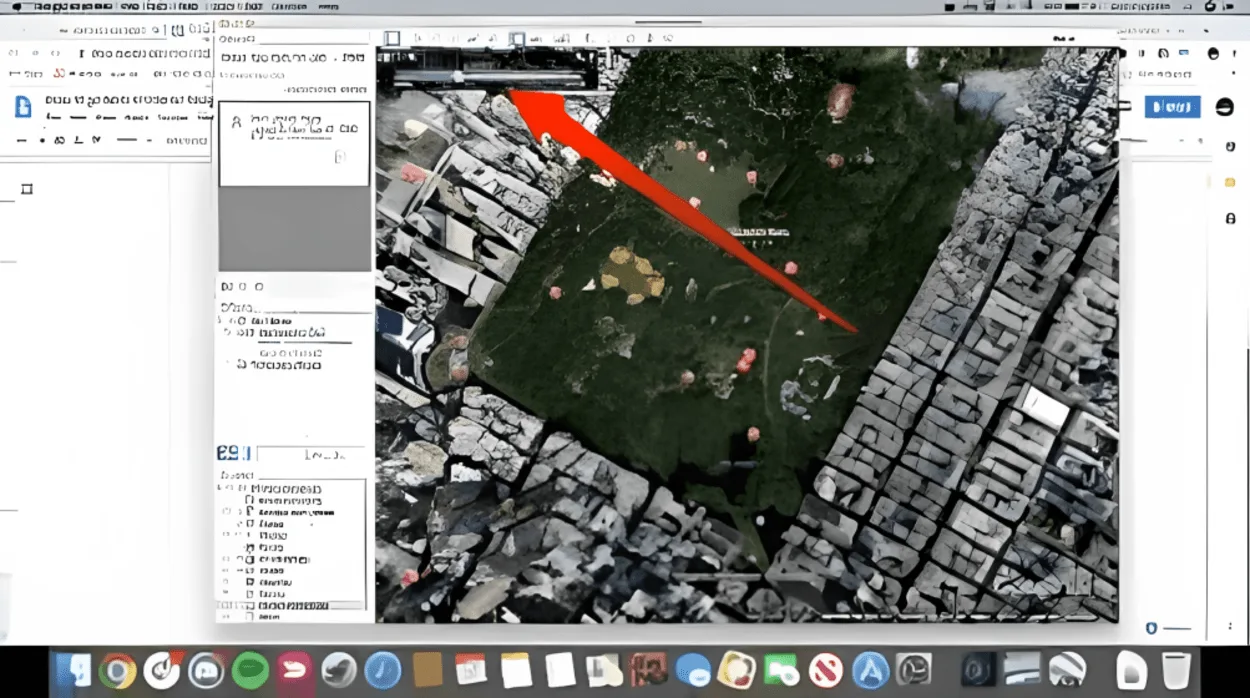
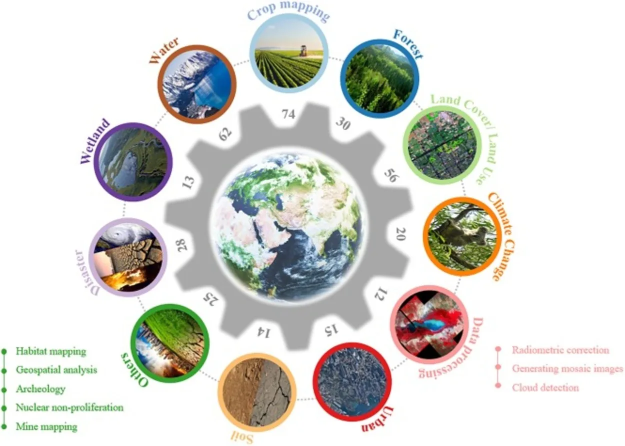
Google Earth is a powerful tool that allows users to explore the world from the comfort of their own homes. Developed by Google, this digital globe provides users with an interactive and immersive experience, enabling them to zoom in and out of different locations and explore them.
Google Earth is not only a great tool for travel enthusiasts, but it also has a wide range of practical applications for businesses, educators, and professionals.
With Google Earth’s high-resolution satellite imagery users can zoom in and out of different locations and view them in stunning detail. This is particularly useful for exploring remote locations, as well as for identifying specific landmarks and buildings.
In this blog post, we’ll explore some of the reasons why Google Earth is considered to be such a good tool. We’ll delve into its detailed mapping capabilities, educational value, business and professional uses, customization, personalization, accessibility, and ease of use, and conclude with a summary of the key features and benefits of Google Earth.
Detailed Mapping Capabilities

One of the key features of Google Earth is its detailed mapping capabilities. The high-resolution satellite imagery allows users to zoom in and out of different locations and view them in stunning detail. This is particularly useful for exploring remote locations, as well as for identifying specific landmarks and buildings.
Users can also switch between different types of maps, such as satellite, terrain, and street view, to get a better understanding of a location.
Another impressive feature of Google Earth is its 3D terrain and building models. These provide users with an even more realistic experience, allowing them to see the contours of a location, as well as the heights of buildings and other structures.
This feature is especially useful for urban planning, as well as for identifying potential hazards and obstacles in a location. It’s also helpful for architects, engineers, and construction professionals to analyze the land, identify the slope, and make necessary adjustments for their projects.
Google Earth also offers historical imagery, which allows users to view a location as it appeared in the past. This feature is particularly useful for researchers, as well as for anyone who is interested in how a location has changed over time. The historical imagery can also be used to track the development of a specific location and compare the changes that have taken place over time.
The street view integration is another great feature of Google Earth. This allows users to explore a location as if they were walking down the street. This feature is particularly useful for businesses, as it allows them to showcase their location and attract customers.
It also allows users to see the street-level view of a location and get a sense of the surrounding area. This feature is particularly useful for real estate professionals and people who are looking to relocate.
In summary, the detailed mapping capabilities of Google Earth, including high-resolution satellite imagery, 3D terrain, building models, historical imagery, and street view integration, make it an incredibly powerful tool for exploring and understanding locations around the world.
Educational Value

Google Earth has a wide range of educational applications, making it a valuable tool for teachers, students, and lifelong learners. The ability to explore and learn about different locations and landmarks is a powerful feature of Google Earth, allowing users to take virtual field trips to places they may not have the opportunity to visit in person.
This is particularly useful for students in remote or rural areas, as well as for those with limited mobility.
Google Earth also offers a variety of tools for creating and sharing custom tours and presentations. Teachers can use these tools to create interactive lesson plans, highlighting key landmarks and locations related to their curriculum.
Students can also use these tools to create their own projects and presentations, allowing them to explore their interests and develop critical thinking skills.
One of the most interesting features of Google Earth is the Voyager, it’s an interactive guided tour of some of the most interesting places on Earth, including natural wonders, historic sites, and cultural landmarks. It’s a great resource for educators and students alike, providing a wealth of information and interactive experiences.
Another useful feature of Google Earth is the ability to measure distances and areas, this feature can be used in geography and math class, allowing students to understand the scale of different locations and the relationship between different places.
Google Earth’s 3D imagery and virtual reality (VR) support also make it a valuable tool for STEM education, enabling students to visualize and explore complex concepts and phenomena in a more engaging and interactive way.
In conclusion, Google Earth’s ability to explore and learn about different locations and landmarks, as well as its tools for creating and sharing custom tours and presentations, make it a valuable tool for education.
The Voyager, measurement feature, 3D imagery, and VR support make it a powerful tool for STEM education as well. It provides students and teachers with a wealth of educational resources and opportunities for learning and discovery.
Google Earth provides the following educational benefits:
- Allows users to take virtual field trips to places they may not have the opportunity to visit in person
- Provides a wealth of information and interactive experiences through the Voyager feature
- Offers a variety of tools for creating and sharing custom tours and presentations
- Can be used to highlight key landmarks and locations related to the curriculum
- Allows students to create their own projects and presentations, developing critical thinking skills
Business And Professional Uses
| Business/Professional Field | How Google Earth can be used |
| Real Estate | Viewing properties and surrounding areas in detail, property visualization, and creating virtual tours. |
| Construction | Viewing building sites and surrounding areas in 3D, identifying potential hazards and obstacles, and analyzing land for construction. |
| Urban Planning | Viewing and analyzing entire cities, identifying patterns and trends that can inform urban planning decisions. |
Google Earth isn’t only a great tool for personal use, but it also has a wide range of practical applications for businesses and professionals.
One of the most important use cases of Google Earth is in real estate and property management. Real estate professionals can use Google Earth to view properties and their surrounding areas in detail, helping them to identify potential issues and opportunities.
Google Earth’s 3D imagery and virtual reality support also make it a valuable tool for property visualization, allowing real estate professionals to showcase properties to potential buyers in a more engaging and interactive way.
Construction and urban planning are also fields where Google Earth can be extremely useful. Construction professionals can use Google Earth to view building sites and surrounding areas in 3D, helping them to identify potential hazards and obstacles.
Urban planners can use Google Earth to view and analyze entire cities, helping them to identify patterns and trends that can inform their work.
Google Earth can also be used for environmental monitoring and analysis. Environmental professionals can use Google Earth to view and analyze land, water, and air quality, helping them to identify potential issues and opportunities.
Google Earth’s historical imagery feature also allows users to track changes in the environment over time, helping them to identify trends and patterns.
Customization and Personalization

One of the great things about Google Earth is its ability to be customized and personalized. Google Earth allows users to create and save custom maps and layers, which can be shared with others or kept private.
This feature is particularly useful for businesses and professionals, as it allows them to create maps that highlight specific data or locations that are relevant to their work.
Users can also create and save custom placemarks and annotations, which can be used to label locations, highlight points of interest, or provide additional information. This feature is particularly useful for educators, as it allows them to create interactive lesson plans and presentations.
Google Earth also integrates with other Google tools such as Google Drive and Google Maps. This allows users to share their custom maps and layers with others and collaborate on projects. This feature is particularly useful for businesses and professionals who need to share data or collaborate on projects with others.
Conclusion
- In conclusion, Google Earth is a powerful tool that allows users to explore the world in an interactive and immersive way.
- The detailed mapping capabilities, including high-resolution satellite imagery, 3D terrain, building models, and street view integration, make it an incredibly powerful tool for exploring and understanding locations around the world.
- The educational value, business and professional uses, customization, personalization, accessibility, and ease of use make it a valuable tool for a wide range of fields and applications.
- Google Earth is available as a web-based application and as a mobile app, making it accessible to users on any device.
- The user-friendly interface and navigation make it easy to use for anyone, from casual users to professionals.
- Google Earth is also free to use for personal and non-commercial use, making it accessible to everyone.
Related Articles
- Is Zoom Earth Better Than Google Earth?[Comparison]
- How Do You Get a Live View on Google Earth? [Step-by-Step Guide]
- Is There an Online Version of Google Earth? (Must Know)

![Why Is Google Earth so Good? [Truth]](https://gearthhacks.com/wp-content/uploads/2023/01/pef64n-1.jpg.webp)