![How Much Did Google Earth Pro Cost? [Must Know]](https://gearthhacks.com/wp-content/uploads/2023/02/f6cddf54-4c81-442b-bb84-0093f45bfaf4-1.png)
![How Much Did Google Earth Pro Cost? [Must Know]](https://gearthhacks.com/wp-content/uploads/2023/02/f6cddf54-4c81-442b-bb84-0093f45bfaf4-1.png.webp)
Hey there! Have you ever wanted to explore the world from the comfort of your own home? Or maybe you’re in need of a high-quality mapping tool for your business.
Look no further than Google Earth Pro! This powerful software has been around for over a decade and has been providing users with a birds-eye view of the world ever since.
Google Earth Pro was priced at $400 per year for individuals and $1,200 per year for commercial use. But now Google Earth Pro is free for everyone. However, some services, such as high-resolution printing and movie-making tools, may still incur additional fees.
In this blog, we’ll be diving into the cost of Google Earth Pro and what it has to offer. We’ll also explore how to download and use it, as well as some alternatives for those who are on a tight budget.
So, whether you’re a curious traveler or a savvy businessperson, stick around and discover the possibilities of Google Earth Pro!
What Is Google Earth Pro?

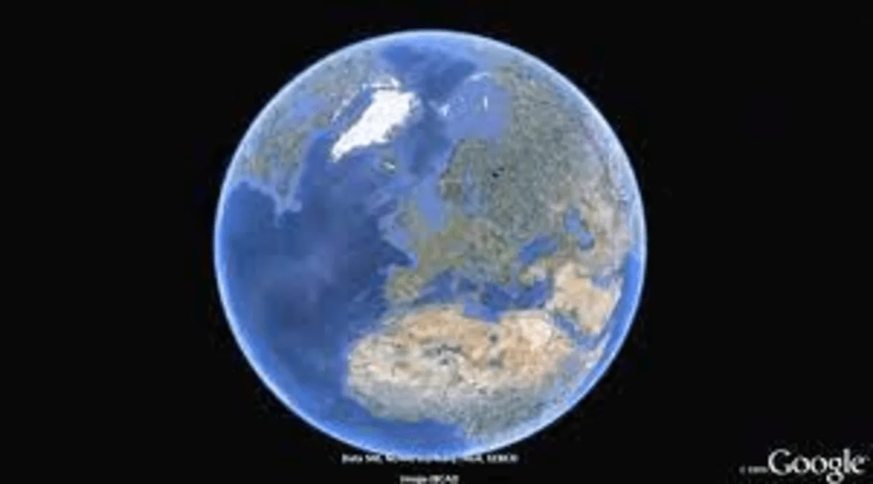
Google Earth Pro is a 3D mapping software developed by Google that allows you to explore the world from a whole new perspective. It provides users with high-resolution satellite images, aerial photography, and street maps, making it the ultimate tool for exploring the planet.
One of the key differences between Google Earth Pro and the standard version of Google Earth is the level of detail and functionality it offers. Google Earth Pro includes advanced tools for measurement and analysis, making it the perfect choice for businesses, researchers, and individuals who need more detailed and accurate mapping data.
Some of the features of Google Earth Pro include:
- High-resolution satellite imagery: See the world in stunning detail, including images of cities, landscapes, and even individual buildings.
- Advanced measurement tools: Use the ruler tool to measure distances and areas, and the elevation profile tool to see the terrain in 3D.
- Historical imagery: View past images of a location to see how it has changed over time.
- Movie-making tools: Create and export stunning videos of your virtual tours.
- Print high-resolution maps: Print maps with a high level of detail and clarity for presentations or reports.
- Integrations with other tools: Integrate Google Earth Pro with other tools, such as GIS systems, to add even more functionality.
Overall, Google Earth Pro is a powerful and versatile tool that offers a wealth of features for those who need a high-quality mapping solution. Whether you’re exploring the world from your couch or working on a business project, Google Earth Pro has something to offer.
The Cost of Google Earth Pro

Google Earth Pro used to be a paid software, but it’s now available for free! However, it’s important to note that while the software itself is free, some features, such as high-resolution printing and movie-making tools, may incur additional fees.
Before it became free, Google Earth Pro was priced at $400 per year for individuals and $1,200 per year for commercial use. This was a significant investment for many users, and it limited the software’s accessibility to only those who needed its advanced features.
However, in 2015, Google made the decision to make Google Earth Pro free for everyone. This was a game-changer for the mapping software industry and opened up new opportunities for users to explore and use the software.
It’s important to note that while Google Earth Pro is now free, some services, such as high-resolution printing and movie-making tools, may still incur additional fees. These fees are typically minimal and are only charged for commercial use or for high-volume printing.
In conclusion, Google Earth Pro is now a free tool that’s accessible to everyone. However, users should be aware that some features may still incur additional fees, so it’s important to check the pricing before using these features.
How to Download Google Earth Pro
Downloading Google Earth Pro is a simple and straightforward process that can be completed in just a few steps. Here’s what you need to do:
- Before you download Google Earth Pro, make sure your computer meets the minimum system requirements. You can find this information on the Google Earth Pro website.
- Go to the Google Earth Pro website and click on the “Download” button.
- Once the download is complete, run the installation file and follow the on-screen instructions to install Google Earth Pro on your computer.
- To use Google Earth Pro, you’ll need to create a free Google account. If you already have a Google account, simply sign in with your existing credentials.
- Once you’ve installed Google Earth Pro and created an account, you’re ready to start exploring the world! Use the software to zoom in and out, explore different locations, and take virtual tours of the world.
It’s that simple! With Google Earth Pro, you can explore the world from the comfort of your own home and experience it in a whole new way.
If you encounter any issues during the download and installation process, be sure to check the Google Earth Pro support page for troubleshooting tips and solutions. The Google Earth Pro team is always available to help users with any issues or questions they may have.
How to Use Google Earth Pro?
Google Earth Pro is a powerful mapping software that offers a wide range of features and tools for exploring the world. Here’s how you can start using Google Earth Pro:
- Explore the world: The first thing you’ll want to do is start exploring the world! Use the zoom feature to zoom in and out, and navigate to different locations using the search bar or by clicking and dragging the map.
- Use the measurement tools: Google Earth Pro includes advanced measurement tools, such as the ruler tool and the elevation profile tool. Use these tools to measure distances and areas, or to see the terrain in 3D.
- View historical imagery: Google Earth Pro includes access to historical imagery, allowing you to view past images of a location and see how it has changed over time.
- Print high-resolution maps: Need to print a map for a presentation or report? Google Earth Pro allows you to print high-resolution maps with a level of detail and clarity that isn’t available in the standard version of Google Earth.
Alternatives to Google Earth Pro


While Google Earth Pro is a powerful and widely used mapping software, it may not be the best fit for everyone. If you’re looking for alternative options, here are some software programs that you might want to consider:
ArcGIS
ArcGIS is a popular GIS software that offers a wide range of features for mapping and analyzing geographic data.
It’s widely used in the academic and commercial sectors and is known for its high level of functionality and versatility.
QGIS
QGIS is a free and open-source GIS software that is widely used by individuals, organizations, and governments.
It offers a wide range of features, including support for a variety of data formats, advanced mapping, and analysis tools, and a user-friendly interface.
OpenStreetMap
OpenStreetMap is a free and open-source mapping platform that is built by a community of volunteers.
It offers a wide range of features, including detailed maps, real-time data, and a variety of APIs for integrating with other tools.
Bing Maps
Bing Maps is a mapping platform from Microsoft that offers a range of features, including detailed maps, real-time traffic data, and a variety of APIs for integrating with other tools.
It’s widely used for commercial and business purposes.
Mapbox
Mapbox is a popular mapping platform that offers a wide range of features, including detailed maps, real-time data, and a variety of APIs for integrating with other tools.
It’s widely used for commercial and business purposes.
| Software | Cost |
| Google Earth Pro | $400 per year (previously costed) |
| ArcGIS | Subscription-based, prices range from $100 to $5,000 per year |
| QGIS | Free |
FAQs
Is Google Earth Pro Worth the Cost?
Whether or not Google Earth Pro is worth the cost depends on your needs and how you plan to use the software. If you need access to advanced mapping and analysis tools, high-resolution printing, and the ability to create virtual tours, then Google Earth Pro may be worth the cost.
However, if you are just looking for basic mapping and navigation features, there are many free alternatives available.
Can I Use Google Earth Pro for Commercial Purposes?
Yes, you can use Google Earth Pro for commercial purposes, but you’ll need to purchase a license.
Contact Google for more information on the licensing options available.
The Final Say
- In conclusion, Google Earth Pro is a powerful and widely used mapping software that offers a wealth of features for exploring and analyzing the world.
- With its advanced measurement tools, historical imagery, and movie-making tools, Google Earth Pro is a versatile tool that can be used for a variety of purposes, from casual exploration to professional research.
- However, Google Earth Pro isn’t the only option available, and there are many alternative software programs that you might want to consider, such as ArcGIS, QGIS, OpenStreetMap, Bing Maps, and Mapbox.
- Each of these programs has its own strengths and weaknesses, so it’s important to evaluate your needs and choose the software that best meets your requirements.
- Whether you choose Google Earth Pro or one of its alternatives, mapping software is a valuable tool that can help you to better understand and explore the world around you.
Related Articles
- How Often Does Google Earth Take a Picture of My House? [The Truth]
- What Is the Date of Google Earth Images?[Explained]
- How do I use Google Earth? (Informative)