Have you ever wondered if Google is watching you? While it may seem like a far-fetched concept, it’s actually not too far from the truth. With the advent of Google Earth, it’s easier than ever for tech-savvy people to see the world from their computer or mobile device.
One of the most commonly asked questions about Google Earth is how often it takes a picture of your house. The answer to this question depends on the type of imagery that’s available in your area. Generally, images are updated every few months, though some areas may have more frequent updates.
But how often does Google Earth take a picture of your house? Is your home constantly under surveillance? In this blog post, we’ll explore the answers to these questions and more.
What Is Google Earth?

Google Earth engine is an interactive virtual map of the Earth that allows users to explore the world from their computer or mobile device. It’s a product of Google Inc., and it provides users with:
- Satellite imagery
- Aerial photography
- 3D topography
- Geographical information
- Maps that show real-time traffic.
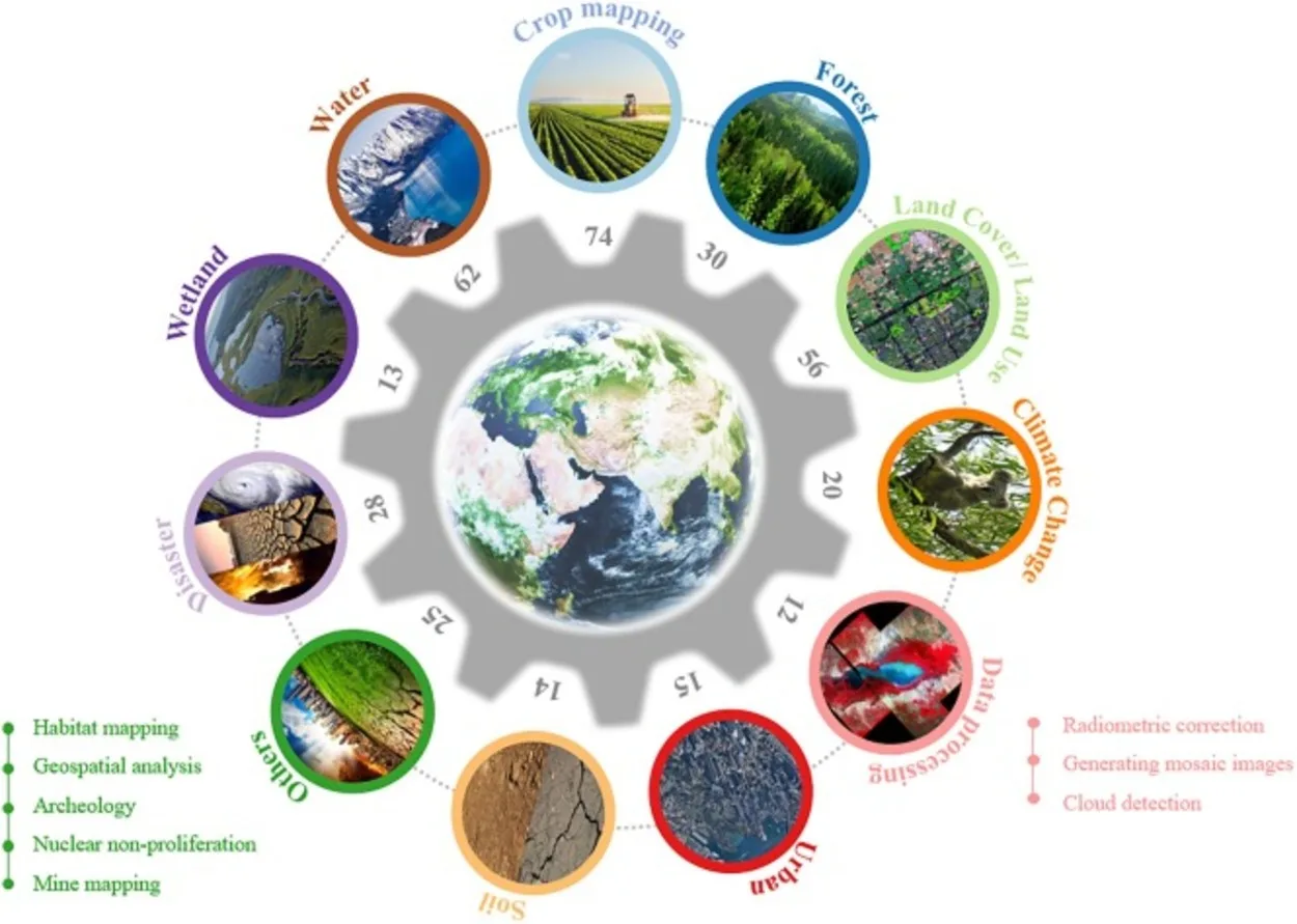
The service combines both raster and vector data to create a detailed view of the Earth, allowing you to see cities, landscapes, rivers, oceans, and more. Google Earth is available on multiple platforms, such as desktop computers, tablets, and smartphones.
Google Earth also features multiple layers which provide additional information about different locations on the planet.
These layers include different types of geographical data such as roads, borders, terrain, and weather. With these layers, users can gain an in-depth view of the world. Google Earth is an incredibly useful tool for anyone looking to explore the world, research a location, or simply admire the beauty of our planet.
What Are the Benefits of Using Google Earth?

| Benefit | Description |
| Real-time satellite imagery | You can get an up-close look at any area of the world and be able to identify features like rivers, forests, roads, and buildings |
| Google Maps integration | You can use the two together to find directions, get an aerial view of a destination, or even plan a route for your next road trip. |
| Education | Students can use Google Earth to learn about different parts of the world in a more interactive way. |
Google Earth is an amazing tool that can help you explore the world from your own home. It’s a great way to take a virtual tour of any place on the planet. From the tallest mountains, deepest oceans, and largest cities, you can explore it all with Google Earth.
Not only is it fun to explore the world, but it also offers many practical benefits.
- One of the most useful benefits of Google Earth is the ability to view real-time satellite imagery of the Earth’s surface. This means you can get an up-close look at any area of the world and be able to identify features like rivers, forests, roads, and buildings. You can even take 3D tours of cities or landmarks!
- Another great feature of Google Earth is its integration with Google Maps. You can use the two together to find directions, get an aerial view of a destination, or even plan a route for your next road trip. This can save you time and help you find the best routes to take.
- Google Earth also has a variety of educational uses. Students can use Google Earth to learn about different parts of the world in a more interactive way. It’s a great way for teachers to teach students about geography and the environment without having to leave the classroom.
- Finally, Google Earth has numerous entertainment applications as well. You can use it to view your favorite destinations or to explore new places. Many people also use it as a virtual globe trotting tool to virtually travel around the world.
No matter what you use it for, Google Earth offers a wide range of benefits that make it a must-have tool for anyone who wants to explore the world from their own home.
How Often Does Google Earth Take a Picture of My House?

Google Earth is an interactive mapping program from Google that allows users to explore the world from the comfort of their own homes. It’s a great way to explore the world and learn about places you’ve never been to before. But have you ever wondered how often Google Earth takes a picture of my house?
The answer is that it depends on a few factors. The first factor is the frequency at which Google updates its satellite imagery. Generally, Google Earth refreshes its satellite imagery every couple of months, though some areas of the world are more frequently updated than others.
Another factor is whether or not your house is visible on Google Earth. Not all houses are visible on Google Earth due to the quality of the image or because they are located in an area where images are not available. If your house is visible on Google Earth, then it’s likely that it’ll be captured in a new image whenever Google updates its satellite imagery.
Aside from simply exploring the world with Google Earth, there are other things you can do as well. You can measure distances and areas, view 3D buildings and terrain, save locations, search for places, get directions, and more. All of these features make it easy to explore the world and learn about different places.
Finally, it’s important to note that people cannot see inside your house from Google Earth. Even if your house is visible, the satellite images aren’t detailed enough to allow people to see inside of it.
In conclusion, the answer to how often Google Earth takes a picture of my house is, depends on how often Google updates its satellite imagery and if your house is visible on Google Earth. However, even if your house is visible, people cannot see inside it.
You can also use Google Earth for other purposes such as measuring distances and areas, viewing 3D buildings and terrain, saving locations, searching for places, and getting directions.
What Are Some Other Things I Can Do With Google Earth?
Google Earth is a powerful tool that can be used to explore the world around you. You can use it to search for locations, view satellite images and aerial photographs, and even learn more about different places. It can also be used to take virtual tours, navigate with GPS coordinates, measure distances, and more.
One of the best features of Google Earth is its 3D terrain feature. You can get an amazing view of the terrain in any location and even view high-resolution images of mountains, valleys, lakes, and more. You can also take a look at 3D buildings from different angles and explore urban landscapes.
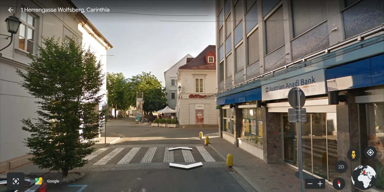
Google Earth also offers a number of useful tools that can help you plan your next vacation or research a new area. You can use the Street View feature to explore different streets and neighborhoods or check out real estate listings in a certain area. You can also use the historical imagery feature to see how different cities or regions have changed over time.
For those who are interested in learning more about different cultures and countries, Google Earth is also great for exploring new places. You can take a virtual tour of famous landmarks, explore ancient ruins, or even watch videos that give you an inside look into different places around the world.
Overall, Google Earth is an incredibly powerful and versatile tool that allows users to explore, discover, and learn about the world around them in new and interesting ways.
FAQs
What Is Google Earth?
Google Earth is a digital mapping service that provides aerial imagery, satellite data, and 3D globe views to explore the world from above.
It allows users to view different parts of the world in detail, with different options for exploring the landscape.
What Are the Benefits of Using Google Earth?
There are many benefits to using Google Earth. It can be used to explore different areas and landmarks, find directions and places of interest, track weather patterns, or even take virtual trips around the world.
It also provides an easy way to view satellite images of different locations.
How Often Does Google Earth Take a Picture of My House?
Google Earth takes high-resolution aerial images at regular intervals.
It’s hard to give a definitive answer as to how often it takes pictures since it depends on the area, but generally speaking, you can expect it to take pictures at least once every three months.
What Are Some Other Things I Can Do With Google Earth?
In addition to viewing aerial imagery, you can use Google Earth for a variety of tasks.
You can measure distances between two points, calculate elevation, watch educational videos and documentaries, search for places of interest, or get directions between two points.
Can Satellites See Inside Your House?
No, satellites can’t see inside your house.
The resolution of satellite images is not that high and they cannot detect small objects like furniture or people in your home.
Conclusion
- Google Earth is an excellent resource for exploring the globe from the comfort of your own home. It offers incredible visuals, interesting information, and up-to-date images of nearly any location on the planet.
- One of the most commonly asked questions about Google Earth is how often it takes a picture of your house. The answer to this question depends on the type of imagery that is available in your area. Generally, images are updated every few months, though some areas may have more frequent updates.
- No matter how often your home is photographed, you can use Google Earth for a variety of applications such as exploring different parts of the world, researching local landmarks, or even playing virtual games.
- Google Earth is an incredible resource and can help you explore the world in a new and exciting way.
Related Articles
- How Do I Change The Year On Google Earth On My IPAD? (Find out)
- What is the Difference Between Google Earth Pro and Free? (Must Know)
- Why Would a House Be Blurred Out on Google Earth? (Must Know)

![How Often Does Google Earth Take a Picture of My House? [The Truth]](https://gearthhacks.com/wp-content/uploads/2023/02/google_earth-e1676126934503.jpg.webp)