![Is Google Earth Imagery Free? [Revealed]](https://gearthhacks.com/wp-content/uploads/2023/02/Oslo_1250x-1.png)
![Is Google Earth Imagery Free? [Revealed]](https://gearthhacks.com/wp-content/uploads/2023/02/Oslo_1250x-1.png.webp)
Have you ever wondered if you can use Google Earth imagery for your personal or professional projects without paying a dime? Google Earth is a fascinating tool that lets us see the world in a way that was impossible just a few years ago.
From exploring remote locations to checking out your own house, the satellite and aerial imagery available on Google Earth can be incredibly useful. But when it comes to using Google Earth imagery, the question is: is it free?
The short answer to this question is that while the basic version of Google Earth is free and offers access to a wide range of imagery and features, it’s important to be aware of the usage restrictions and copyright laws that apply to the imagery.
In this blog post, we’ll explore the different types of Google Earth accounts and the costs associated with them, the restrictions and licenses for using Google Earth imagery, and the pros and cons of using this imagery for your projects. Continue reading to get detailed information.
What Is Google Earth Imagery?
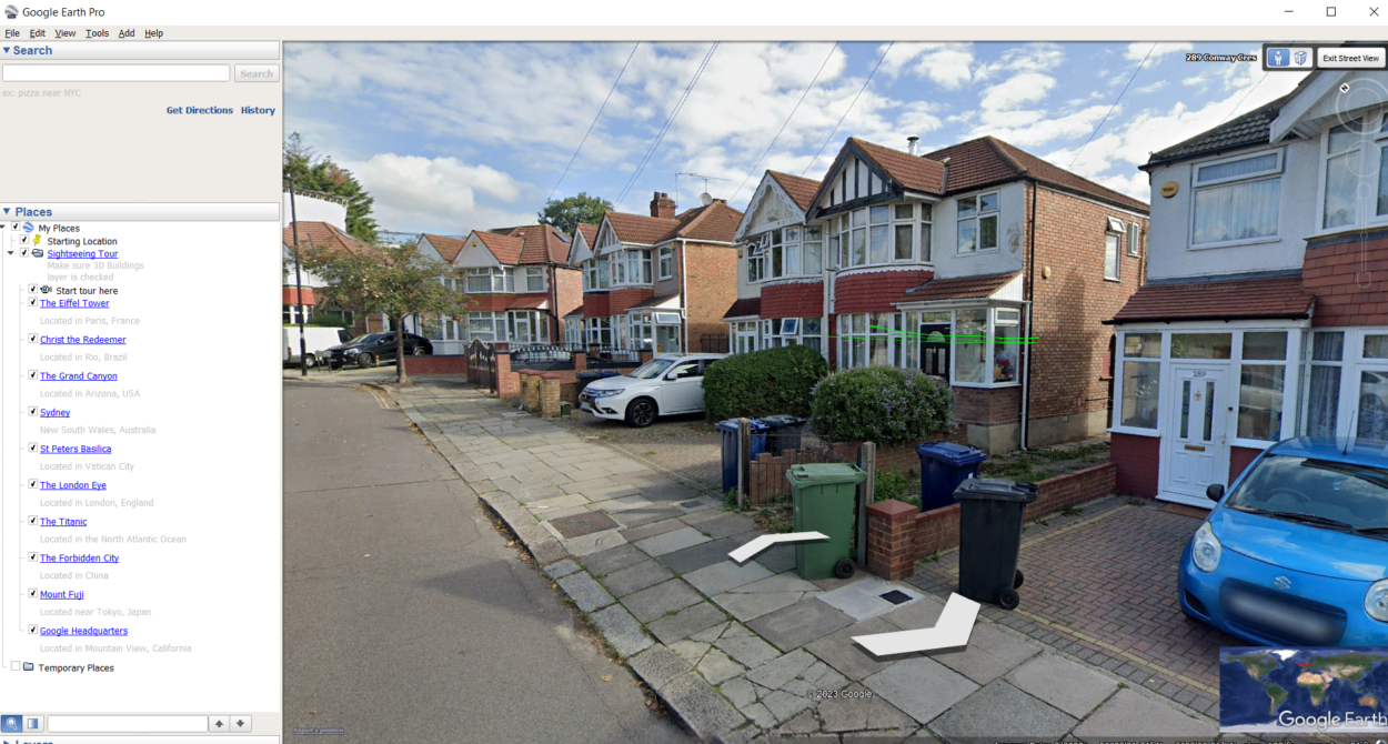

Google Earth imagery is a collection of satellite and aerial photographs that have been compiled and stitched together to create a seamless and interactive map of the earth. The imagery is made up of millions of high-resolution images that have been taken from various satellites and aircraft and is continuously updated as new data becomes available.
There are several different types of Google Earth imagery available, including satellite imagery, aerial photography, and 3D terrain. Satellite imagery is captured from space using satellites that orbit the earth, while aerial photography is taken from aircraft flying over specific areas of the planet.
3D terrain, on the other hand, is created using elevation data that are captured by satellites and other mapping technologies, allowing users to view the earth in three dimensions.
Google Earth imagery is used for a wide range of purposes, from scientific research to commercial applications. It has revolutionized the way we explore and understand the planet, giving us unprecedented access to remote locations and providing a new perspective on our world.
With Google Earth imagery, you can explore the depths of the ocean, the peaks of the highest mountains, and everything in between. Whether you’re a student, researcher, or simply a curious explorer, Google Earth imagery offers a wealth of information and insights into our planet.
Is Google Earth Imagery Free?
| Provider | Access | Pricing |
| Google Earth | Online, desktop, and mobile app | Free for personal use. Starting at $400/year for businesses |
| Google Maps | Online and mobile app | Free for personal and non-commercial use. Starting at $10,000/year for businesses |
| Bing Maps | Online and API access | Free for non-commercial use. Starting at $7,000/year for businesses |
One of the most common questions people have about Google Earth imagery is whether or not it’s free. The short answer is: it depends. Google Earth offers several different account types, each with different costs and features.
The basic version of Google Earth, known as Google Earth Web, is completely free and accessible to anyone with an internet connection.
It provides access to satellite and aerial imagery, 3D terrain, and various other features, including the ability to search for specific locations, measure distances and add markers and annotations to the map.
However, for more advanced features and data, users will need to sign up for a Google Earth Pro account, which used to be a paid subscription service.
Google Earth Pro offers additional features such as the ability to import and export GIS data, access to historical imagery, and high-resolution printing. The cost of a Google Earth Pro subscription was around $400 per year, still some users were eligible for a free license.
It’s worth noting that while Google Earth Web is free to use, there are still some restrictions on how the imagery can be used.
Google Earth imagery is protected by copyright and other intellectual property laws, and users are not allowed to use the imagery for commercial purposes without obtaining the appropriate licenses or permissions.
Additionally, there may be other usage restrictions depending on the specific source of the imagery.
Overall, while Google Earth imagery is not entirely free, the basic version of the tool provides access to a wealth of information and resources for users to explore and learn from. For those who need more advanced features and data, a subscription to Google Earth Pro may be a worthwhile investment.
Pros and Cons of Free Google Earth Imagery

There are several advantages and disadvantages to using the free version of Google Earth imagery. Here are some of the pros and cons to consider:
Pros
Pros of Google Earth imagery are as follows:
- The free version of Google Earth provides access to a vast library of high-resolution satellite and aerial imagery, allowing users to explore and discover new places all around the world.
- Google Earth is user-friendly and easy to navigate, making it a great tool for those who are new to mapping and geographic visualization.
- As mentioned earlier, Google Earth Web is completely free, making it accessible to anyone with an internet connection.
- Google Earth can be a powerful tool for education, allowing students to learn about geography, geology, and other related subjects in a fun and interactive way.
Cons
Pros of Google Earth imagery are as follows:
- The free version of Google Earth has limited features compared to the paid version. For example, users cannot access historical imagery or import and export GIS data.
- As mentioned earlier, there are usage restrictions on the free version of Google Earth imagery. For example, the imagery can’t be used for commercial purposes without obtaining the appropriate licenses or permissions.
- Unlike the paid version of Google Earth, the free version does not come with dedicated technical support or training resources.
- The free version of Google Earth requires an internet connection to access the imagery, which may be a limitation in areas with poor internet connectivity.
How to Access Google Earth Imagery?
Accessing Google Earth imagery is easy and straightforward. Here are the steps you can follow to access the imagery:
- Go to the Google Earth website: To access Google Earth imagery, you’ll need to go to the Google Earth website. Simply enter “Google Earth” in your web browser’s search bar and click on the first result.
- Sign up for a free account: If you don’t already have a Google account, you’ll need to sign up for one to access Google Earth. If you do have a Google account, simply sign in with your existing credentials.
- Install the Google Earth software: Once you’re logged in to your account, you’ll be prompted to download and install the Google Earth software. Follow the on-screen instructions to complete the installation process.
- Explore the imagery: Once you’ve installed the software, you’ll be able to explore the Google Earth imagery. You can use the search bar to find specific locations or simply browse the map to discover new places.
- Customize the imagery: Google Earth allows you to customize the imagery by adding annotations, measuring distances, and changing the viewing perspective. You can also switch between different types of imagery, including satellite and aerial imagery, as well as 3D terrain.
It’s worth noting that while the basic version of Google Earth is free, some features and data may require a paid subscription to Google Earth Pro. The imagery is subject to usage restrictions and copyright laws, so it’s important to be aware of these restrictions when using the imagery.
Overall, accessing Google Earth imagery is easy and intuitive, making it a great tool for exploring and discovering new places all around the world.
FAQs
Is all Google Earth Imagery Free?
While Google Earth Pro used to require a subscription fee, it doesn’t require any subscription fee anymore. Therefore, it can be said that Google Earth Imagery is free.
Additionally, the imagery is subject to usage restrictions and copyright laws, so it’s important to be aware of these restrictions when using the imagery.
Can I Use Google Earth Imagery for Commercial Purposes?
The usage restrictions for Google Earth imagery vary depending on the type of imagery and the intended use. In general, commercial use of the imagery used to require a paid subscription to Google Earth Pro.
It’s important to review the terms of use and copyright laws before using the imagery for commercial purposes.
Are There Any Alternatives to Google Earth Imagery?
Yes, there are several alternatives to free Google Earth imagery available that offer unique features and data sets.
These alternatives include NASA Worldview, ArcGIS Online, OpenStreetMap, Mapbox, and Bing Maps.
Conclusion
- Google Earth imagery is a powerful and valuable tool for exploring and visualizing geographic data.
- While the basic version of Google Earth is free and offers access to a wide range of imagery and features, it’s important to be aware of the usage restrictions and copyright laws that apply to the imagery.
- There are several alternatives to free Google Earth imagery available that offer unique features and data sets.
- By exploring these alternatives, users can find the tool that best fits their needs and preferences.
- Whether you’re a student, researcher, or simply an avid traveler, Google Earth imagery and its alternatives can offer a wealth of knowledge and insights into our planet.
- By using these tools responsibly and creatively, we can continue to expand our understanding of the world and the complex systems that shape it.
Related Articles
- How do I use Google Earth? (Informative)
- How to Tell When a Google Earth Picture Was Taken? [Informative]
- How Often Does Google Earth Take a Picture of My House? [The Truth]