

Google Earth is a program with a 3D representation of the Earth, it was developed by Google and was launched in 2001. Google Earth is known for its unique features that provide a highly interactive experience to the user.
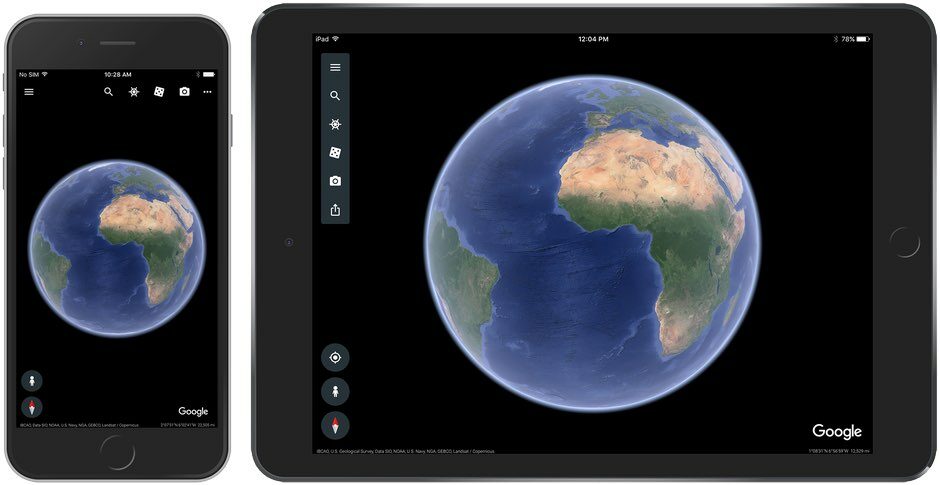
Google Earth is available on every device, you can download it from the app store on your iPad. It’s rather easy to use on every device, however on iPad, all you have to do to navigate is search up a location and just use your finger to navigate, you can zoom in to have a closer look or zoom out, whatever floats your boat.
Google Earth is quite popular, it can be used by everyone as it’s free and easy to use. It offers a bunch of features that can be used for many purposes. Furthermore, Google Earth uses different sources for its data, however, the main source is considered satellite imagery.
Furthermore, Google Earth is certainly one of the most developed software, nevertheless, there’s one issue with it, which is that it doesn’t keep all of its data up-to-date, which may be a bummer.
If you are interested to learn about the features offered by Google Earth and how you can use them on your iPad so keep on reading.
How To See Old Images On Google Earth On iPad?
Google Earth is one of the greatest inventions, it offers features that can be educational as well as fun to use, for instance, you can see how the world looked 40 or 50 years ago.
In order to see old images on your iPad, all you have to do is go to the “Voyager” feature, click on “Layers”, then there you’ll see “Timelapse in Google Earth”, click on that and there you have it.
Mind you, the imagery may not be in high resolution for certain places, even though Google Earth collects its imagery data from highly developed sources. The quality of an image is known to depend on two factors, the location, and the source.
The prime sources include satellite imagery and aerial photography, both of these sources are incredible and provide imagery for different aspects for example Satellite Imagery captures images from a wider angle, which is perfect for large-scale scientific operations, while Aerial Imagery is captured at a lower altitude, which is why you get a far more detailed image, this kind of imagery can be useful commercial applications.
In addition, to understand the differences between these two sources, check out the table below:
| Aerial Imagery | Satellite Imagery | |
| Taken By | Camera systems that are affixed to airborne crafts such as planes and drones | Electronic scanners attached to satellites |
| Types | Vertical, High, and Low Oblique | Visible, Infrared, and Water Vapor |
| Suitable For | Commercial applications for different industries, which range from construction and real estate to an urban planning | Large-scale scientific operations |
| Qualities | Higher detail and far more accurate | Covers a wider area |
Check out this video to learn how you can use Google Earth on iPad:
How Do I Go Back In Time On Google Earth On iPad?
Google Earth offers a bunch of features, but none of them can beat the one that lets you go back in time to see a 30 or 40-year-old world. All you have to do is search up a location in the search bar, click “Historical Imagery” and there you have it.
Google Earth also offers many other interesting and interactive features that can be used to educate students, for instance, the “Voyager” feature allows you to learn about the world as it provides guided tours and quizzes.
Furthermore, Google Earth also includes a feature called “Measure Distance and Area” it lets you measure the distance between two points, you can use it to plan a long trip or map out a plan for a project.
How Old Are Google Earth Images?
When you open the app, it displays imagery of the Earth, however, when you zoom in, you get detailed imagery of a specific area you zoomed in on. Furthermore, what’s fun is that you can see old images and also the date and time that they were captured.
Google Earth has been collecting data for several years, and according to some information, Google Earth updates its data every month, however, this certainly doesn’t mean that Google Earth updates all of its data. Some of the imagery data may be between one and three years old.
Moreover, you can see the date and time the imagery was captured by using two methods:
- “Historical Imagery” Feature: Yes, you can see the date of the image that it was captured, all you have to do is right-click on the location and select ‘Historical Imagery’, it’ll then open a timeline, where you’ll see all the available imagery for the specific you searched. You can slide the time timeline right and left to see the different available images of different time periods and the date for those images will be displayed on the bottom of the screen.
- Check Metadata: Checking the metadata can also tell you the date of an image, You just right-click on the location and select “Properties”, where you will get all the information about the image, which will also contain the date of the image.
FAQs
Is Google Earth Up-To-Date?
Google Earth uses several sources for the data and since it needs so much data to cover the whole Earth, some of the data may take time to be updated.
Usually, Google Earth updates its data every month, however, there may be some data that can be one to three years old.
How Does Google Earth Get Its Data?
Google Earth is a huge program that has been using satellites and aircraft for its data, it provides the most accurate data as it uses different sources for different kinds of information.
Although the quality of some imagery may be low, mostly the imagery contained in Google Earth is quite detailed.
How To Get Google Earth On iPad?
Google Earth is available on every device, you can download it on your iPad via the app store, or you can just use the browser version which works the same way.
Google Earth can be much easier to use on iPad or any device that has a touch screen because all you need is one finger. You can zoom in and zoom out with just two fingers and explore different parts of the world, by dragging your finger.
Can You Go Back In Time On iPad?
Google Earth offers many features and one of those features includes going back in time, you can change the years on Google Earth from any device whether it’s iPad or Android.
In order, to go back in time on iPad, you have to click on “Voyager”, click “Layers”, and then you’ll see an option that says “Timelapse In Google Earth” select that and you’ll get a slide with years on it, just slide right and left to see different time periods.
Conclusion
- You can download Google Earth on your iPad via the app store and explore the world, all you have to do to navigate is search locations and use your finger to zoom in and out, and drag to have a closer look.
- Google Earth has evolved immensely, there’re different kinds of features that allows its users to learn and educate themselves, for instance, “Voyager” provides guided tours and quizzes about a certain location that will help you learn faster.
- Google Earth retains its data from different sources to get the most accurate imagery, the prime sources are considered Satellite Imagery and Aerial Photography.
- The imagery on Google Earth isn’t updated every day, some of its imagery may be updated every month, while other data may be one or three years old.
- You can see how old an image is by using the historical imagery feature or checking the metadata.
Other Articles
- How Do You Change the Time in Google Earth 2023? [Answered]
- How Do I See Different Years in Google Earth on iPhone? [Find Out]
- How Do You Get a Live View on Google Earth? [Step-by-Step Guide]